Jail Canyon
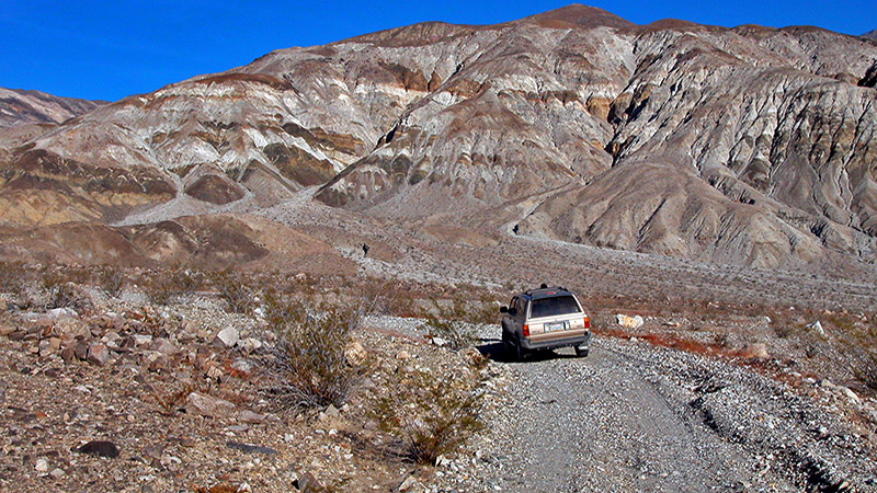
Located north of Ballarat in the Panamint Mountains, Jail Canyon is a colorful, scenic drive with a well-preserved mining camp and mill to explore at the end. Jail Canyon itself is multicolored and very pretty but the scenery getting up to the canyon is quite spectacular, too. With panoramic views of the multi-layered, west-facing Panamint Mountains and the striking erosion of nearby Hall Canyon, you will want to take your time getting to the canyon so you can enjoy the views!

The road up to and through Jail Canyon is very rocky and travel is slow because it crosses a large alluvial fan. It is, however, only about 5 miles long and you will be rewarded with the marvelous views mentioned above and have the fun of exploring the remains of the Corona Mine area.
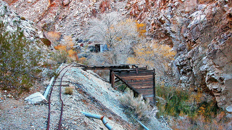
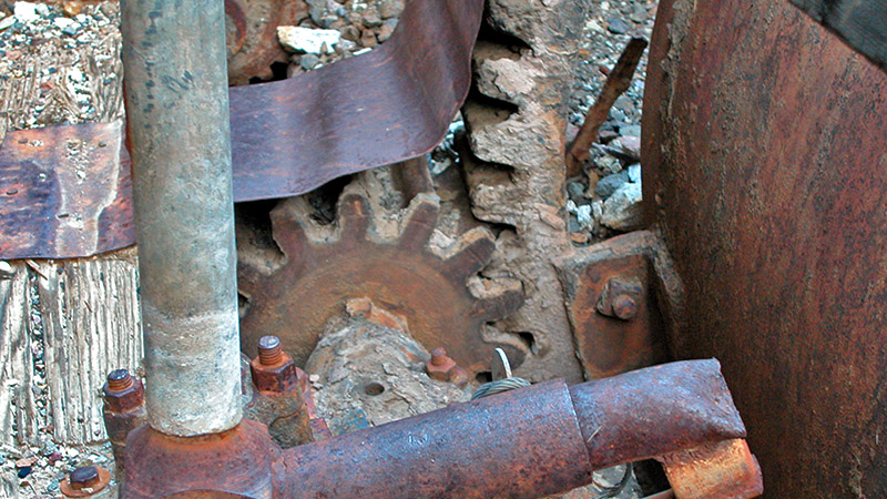
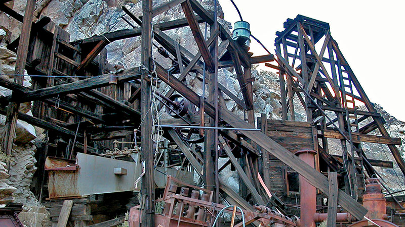
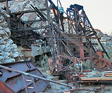
The Corona Mine has been worked, off and on, since 1899 and produced silver, zinc and lead. There was a lot of equipment left behind, some of it more modern, and it’s fun to just poke around and try to figure out how all this machinery worked. It is a short hike from the end of the road to the mill ruins and the trail goes along a perennial stream that supports large trees and even a stand of reeds.
Getting There
The easiest way to get to Jail Canyon is from the pavement of Trona Wildrose Road in Panamint Valley. You can also approach this canyon via the dirt of Indian Ranch Road from Ballarat.
From the south (Trona): From the County Line, just north of Trona, go 28 miles on Trona Wildrose Road. Just before the intersection with Panamint Valley Road and Wildrose Road, look for the well-graded dirt road on your right. This is Indian Ranch Road. Turn right and see * below for further directions.
From the north (Stovepipe Wells): Go south on S.R. 190 for 27.9 miles and turn left onto Panamint Valley Road. In 13.9 miles, Panamint Valley Road ends as it intersects with Trona Wildrose Road (to the right) and Wildrose Road (to the left). Turn right onto Trona Wildrose Road and go 0.4 miles. Turn left (east) onto the well-graded dirt of Indian Ranch Road. See * below for further directions.
*Once on Indian Ranch Road, go 4.0 miles and turn left onto the road that leads to Jail Canyon. It is easy to miss this turnoff as you cruise down the relatively smooth road of Indian Ranch Road, enjoying the beauty of the Panamint Mountains in front of you, so watch your odometer. From this junction, it is 5.2 miles to the Corona Mine.
More…
Pictures
Below are some pictures of what you will see along the way.
Shop for Death Valley items
Scroll down to see and shop for Death Valley related items from Amazon.
Books Recommended on Amazon
Virtual Tour on YouTube
The Road
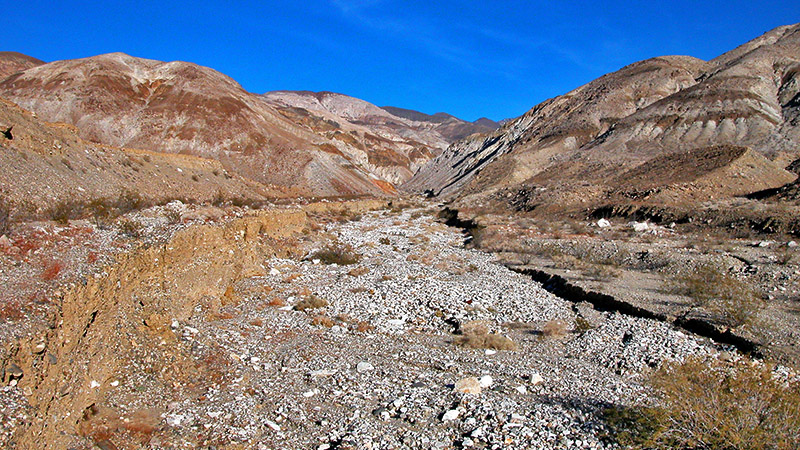
The route to Jail Canyon takes you up and across the alluvial fan created by the drainage of Jail Canyon. This makes the road rough and slow-going in many places and means that the exact route can change slightly with each rainstorm. Rains and flash-flooding can also have a negative effect on the two places where the road crosses the main wash so approach them cautiously.
For the first 3.4 miles, as the road climbs the alluvial fan, it zig-zags through what seems like a maze of washes. At 2.0 miles, you are inside the National Park Boundary. At 3.6 miles, you come to the first of the main wash crossings. Again, use caution and your best judgment here.
After this crossing, the road enters the canyon and continues up the main wash on the left (north) side of the canyon. Over the years, the many flash floods coming down the canyon have created a deeply eroded wash. The road continues up the canyon for another 1.6 miles and ends. About 0.2 mile from the end, the road crosses the main wash for the second time. If you are unable to make this crossing in your vehicle, we recommend that you park here and simply add this short distance to your hike to the mine.
The Hike
From the road’s end, the hike to the mine and mill site is short (less than 0.5 mile) but requires a little bit of trail finding. You may have to walk a bit slower but, overall, it is easy walking until you get close to the mill site. Some scrambling up a short embankment is required (Difficulty Level 3) to get to the mill itself but once up it, the walking is level as you follow the ore car tracks.
Once you’re walking along the tracks, you will turn a corner and see the remains the large mill. Hiking further up the canyon will reveal more abandoned equipment.
If you are planning a visit to this region, then you may be interested in learning more through our virtual tour guide. Check out our guide at our website.
Trip Map
Support Us
Help us fill up our tank with gas for our next trip by donating $5 and we’ll bring you back more quality virtual tours of our trips!
Your credit card payment is safe and easy using PayPal. Click the [Donate] button to get started:
Subscribe
Submit your email address and we’ll notify you when there is new content.
[subscribe2]

