Buckskin Gulch Slot Canyon & Wire Pass
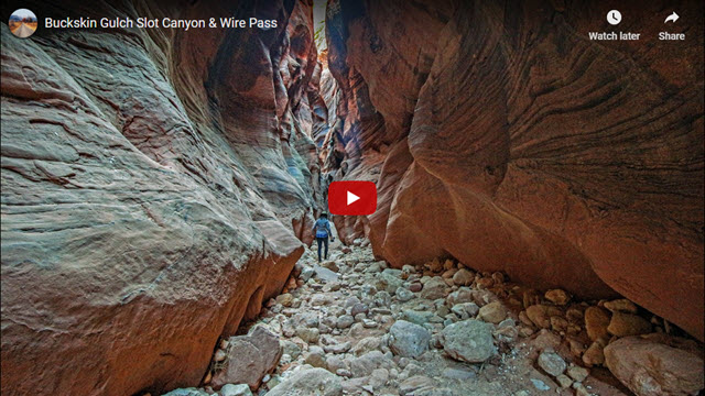
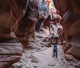
Buckskin Gulch is a spectacular slot canyon located in south-central Utah, halfway between the towns of Kanab and Page. It is the longest and deepest slot canyon in the United States and perhaps the entire world. Our trip takes you on an easy day-hike that includes two slot canyons; the slot of Wire Pass and two different sections of Buckskin Gulch itself.
Trip Specs
Length
Attractions
- 2 slot canyons
- Large alcove
- Petroglyphs
- Sculptured sandstone
- Amazing geology
Difficulty
- Some rock scrambling
- Flashflood danger
- Walk over hundreds of boulders
- Narrow passages
- Must not be claustrophobic
- Remote area
- No cell phone reception
Elevation Gain
- ~150 foot loss/gain
The Dangers of Buckskin Gulch
Like so many natural areas in Utah, Buckskin Gulch is both beautiful and dangerous. If you’re not careful, a hike here could be your last. Backpacker Magazine named it the most dangerous hike in the U.S. The reason for this is the narrowness and length of the slot canyon itself.
Buckskin Gulch drains a very large area of land and if there is a downpour from a storm as far away as 20 miles or more, the resulting flashflood can bring 20-40 feet of water violently rushing down the canyon. This water can arrive in hours or just minutes and, if you’re caught in the canyon, there is nowhere to escape. Many people have died in slot canyons. These flashfloods have left their calling cards in the form of large logs that have been carried down and wedged 10-20 feet above the canyon floor. You’ll see some of them when you watch our virtual video tour.
Visit the Kanab BLM Office Before Going
With this danger in mind, we strongly recommend that you visit the BLM office/Visitor Center in Kanab (or Big Water near Page) before hiking into Buckskin Gulch or doing any other adventure in this area. The knowledgeable rangers there will not only inform you of road and hiking conditions but will also have up-to-date weather information including critical information about any forecasted storms in the area. You may also learn more intriguing facts about the areas you will be visiting. Understanding the risks and making an informed decision will help keep you safe.
Once you determine that it’s safe to hike that day, the rewards of being in Buckskin Gulch can be a surreal experience like none other. There is no real trail to follow because you are walking in a drainage, wash or canyon bottom for the entire hike.
First Obstacle
The first slot canyon, in Wire Pass, has a 10 foot “pour off” or short cliff that will stop most hikers. However, there is a bypass route that climbs the sandstone to the south of the canyon. During some years, such as 2021, a group of volunteer rescue workers in the area have built a ladder here. However, subsequent flash floods swept it away, only to be rebuilt by the volunteers. So, there may or may not be a ladder when you hike Wire Pass.
Once you get into Buckskin Gulch, depending on the time of year, there may be one more obstacle – deep mud or even quicksand. To avoid those obstacles, it is best to plan your visit a month or two after any wet spell, such as the winter rainstorms or the summertime monsoons that usually end in September.
Our First Time to Buckskin Gulch
We first discovered Buckskin Gulch in the late 1990s. It was one of our first forays into a slot canyon and, quite frankly, it overwhelmed us. After entering the main canyon, it didn’t take long to get into a very deep, narrow space. It’s a good thing neither of us are claustrophobic! We walked away being reminded of how powerful and violent Mother Nature can be and yet, from those violent erosional episodes, she creates such magnificent and elegant geologic formations.
More…
Pictures
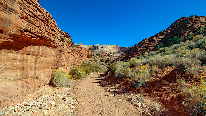
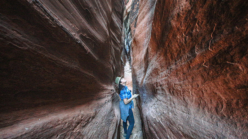
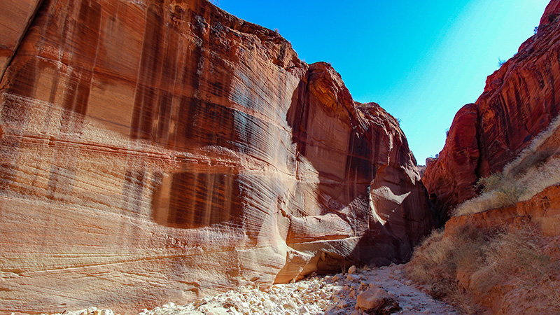
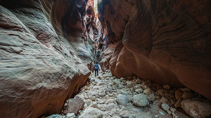
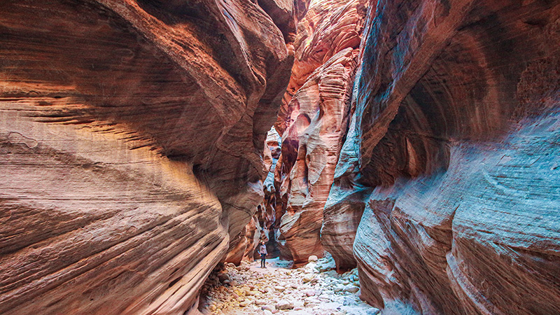
Below are some pictures of what you will see along the way.
Getting to Buckskin Gulch
Start your hike into Buckskin Gulch by getting to the Wire Pass trailhead on House Rock Valley Road. You can easily find this on Google Maps and then navigate to it. The turnoff to House Rock Valley Road is located roughly halfway between Kanab and Page along Hwy 89.
From the BLM office Kanab, take Hwy 89 east towards Page for 37.5 miles. You’ll see the dirt House Rock Valley Road bear off the right as Hwy 89 heads to the left. Turn right onto the dirt road.
From Page, Arizona
From Glen Canyon Dam near Page, Arizona, head west on Hwy 89 for 32.5 miles. Just after crossing a large ridge (the Coxcomb), the road makes a sweeping right turn. At the end of the turn, make a sharp left onto House Rock Valley Road.
From Hwy 89, the Wire Pass trail is reached by heading south on House Rock Valley Road for 8.4 miles.
NOTE: About 4.5 miles from Hwy 89, you’ll see a sign for the Buckskin Gulch trailhead. Do not go here. Continue to the Wire Pass trailhead 3 miles further. Buckskin Gulch actually starts here at this first trailhead, but the slot canyon portion is closer to Wire Pass.
When you park your vehicle at the trailhead, make sure to pay the $6 per person fee and place the ticket stub on your dashboard. No one wants to return to their vehicle to find a citation under your windshield wiper.
The Hike
The hike starts in the wash of Wire Pass that will later turn into the Wire Pass slot canyon. After walking in the wash for about a mile, you’ll see ahead where it empties into a shallow slot of sandstone. Most people continue on into this slot to see the 10 foot pour-off mentioned earlier and then walk back a short distance to use the bypass route that’s located just before the entrance to the slot. As you return from the pour-off, look for a rock cairn marking a short, steep scramble up the left (south) side of the wash. Follow this route up and around the slot canyon and then it will drop down into the wash on the other side.
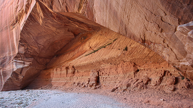
Continuing down the wash of Wire Pass, you’ll soon come to a second section of slot canyon. Here, the canyon becomes very narrow. So narrow, that you might need to turn sideways to get through. This portion of slot canyon ends close to the confluence with Buckskin Gulch which will not be this narrow! Just before that confluence, you’ll pass by a huge and impressive alcove where there is a series of Native American petroglyphs.
Intersection With Buckskin Gulch
Wire Pass T’s into Buckskin Gulch 1.7 miles from the trailhead. Turning right here goes into the main and most impressive section of Buckskin Gulch. From here, it’s about 15 miles of slot canyon until it opens up into Paria Canyon and ends at Lee’s Ferry on the Colorado River. We won’t be hiking that far (but a lot of people do)! We chose to turn right first and walk down for the first mile or so where we gawked at all the wonderful textured sandstone and marveled at how deep and narrow this canyon really is. Then we walked back to the confluence.
After warming ourselves back up in the sunshine of the confluence area (slot canyons get very little sunlight and can get cold), we then continued straight (left at the T) and explored the other section of Buckskin Gulch. It was surprising how the canyon took on such a different character in this section. After exploring another mile of this section of canyon, we returned to the confluence, then hiked back up Wire Pass to return to our vehicle.
Summary
A hike into Buckskin Gulch and Wire Pass is a great experience. We hiked a total of about 6 miles roundtrip. The overall hike was fairly level, except for the steep detour we took around that pour-off. This area has so many awesome and fascinating rock formations that you’ll want to come back and spend more time exploring what’s nearby. We’re already planning a trip to the northern part of Buckskin Gulch, where we’ve read that there are more unique sandstone formations to be found. Stay tuned for the next trip!
Trip Map
To help plan your trip, use our interactive Google Map below. Be sure to switch to Satellite view to see the terrain.
Learn more about our maps.
Support Us
Help us fill up our tank with gas for our next trip by donating $5 and we’ll bring you back more quality virtual tours of our trips!
Your credit card payment is safe and easy using PayPal. Click the [Donate] button to get started:
