The Wave: Our Experience
Length
Attractions
- Sandstone features
- The Wave
- Second Wave
- The Boneyard
- Top Rock Arch
- Sand Cove
- Lots of crazy sandstone!
Difficulty
- Trail difficult to follow – use GPS
- Uneven and steep terrain
- Walk through deep sand
- Very remote area
- No phone service
Elevation Gain
Introduction
Located on the remote Arizona, Utah border, The Wave is a challenge to get to in more ways than one. First, you’ll need to acquire a permit to go there. Second, the hike is a bit of a navigational challenge. Third, it’s not an easy hike. And lastly, there are so many things to see in this area besides The Wave itself, that you’ll have a hard time choosing what to go see.
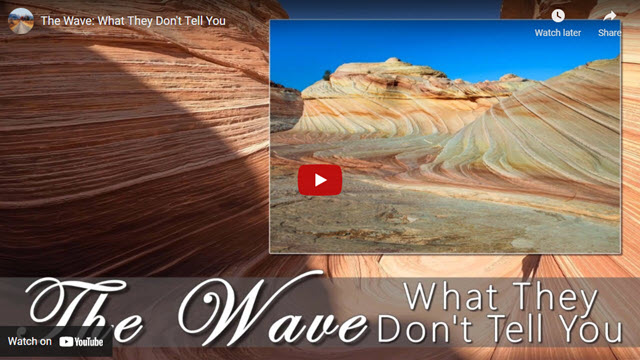
We’ve created a video that will not only take you on a virtual tour of The Wave but will also explain more of the background behind The Wave and how to apply for a permit on-line to visit it. Plus, using our unique style of 3D renderings of the landscape with the help of Google Earth, our video will show you where some of the features are located and what they look like. That way, you can plan your hike to focus on what looks the most interesting to you.
Background
The Wave is located in what’s known as Coyote Buttes, North. Along with The Wave, there’s a whole bunch of other places and cool rock formations to see in this region.
There’s also a Coyote Buttes South that has many unique and even more beautiful rock formations, too, that are different than Coyote Buttes North. Both of these areas are in what’s called the Paria Canyon Wilderness, which is sandwiched between Vermillion Cliff’s National Monument and the uncertain boundary of Grand Staircase Escalante National Monument (as of 2021).
Over the past 20 years, The Wave has become so popular that too much damage was being done to the delicate features found at Coyote Buttes, including The Wave. By the early 2000s, visitation was limited to 20 people a day and a strict permitting process was put into place.
Demand for visiting The Wave increased further in 2009 when Microsoft included a picture of The Wave on their Windows 7 release. Plus, pictures of The Wave were circulating all over social media and Europe. People just had to come out and see this place.
After about 15 years of just allowing 20 people per day visit North Coyote Buttes, it was determined in 2021 that the area should be able to handle more people. So now, around 64 people per day are allowed to visit, still using the same permitting process that uses a lottery system.
Getting a Permit
There are two ways to get permits. One is to show up in person and walk into the BLM visitor center in Kanab, Utah before 9am and participate in a lottery. The other is to use the on-line lottery system at www.Recreation.gov.
The walk-in lottery is for up to 16 people or 4 groups, whichever comes first, and the permit is typically for the following day. For instance, if you win the lottery on Tuesday, your permit will be for Wednesday.
The on-line lottery is for up to 48 people or 12 groups, whichever comes first and is for 4 months in advance. Whatever month that ends up being, you can select 3 days to be included in the lottery. There is a fee of 9 dollars for doing this, which doesn’t get refunded if you don’t win the lottery.
If you are lucky enough to win the lottery, the BLM will give you a packet of items that will help you find The Wave. It also includes two parking permits at the Wire Pass Trailhead, which is where the hike to The Wave begins. The packet also includes a brochure explaining the hike to The Wave, which is difficult to follow. This brochure has small pictures with references to help you find the way using dead-reckoning.
Our recommended way to find your way to The Wave is using a navigational mapping app on your phone. Our video explains how to do this with two such popular apps.
More…
Support Us
Help us fill up our tank with gas for our next trip by donating $5 and we’ll bring you back more quality virtual tours of our trips!
Your credit card payment is safe and easy using PayPal. Click the [Donate] button to get started:
Pictures
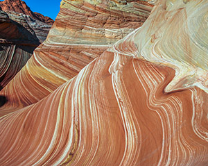
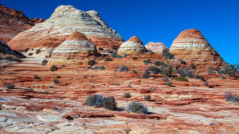
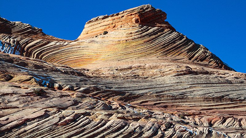
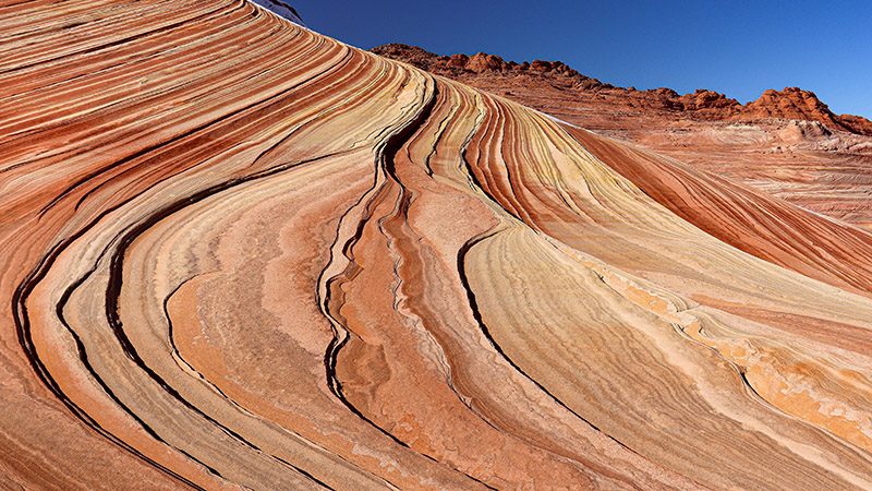
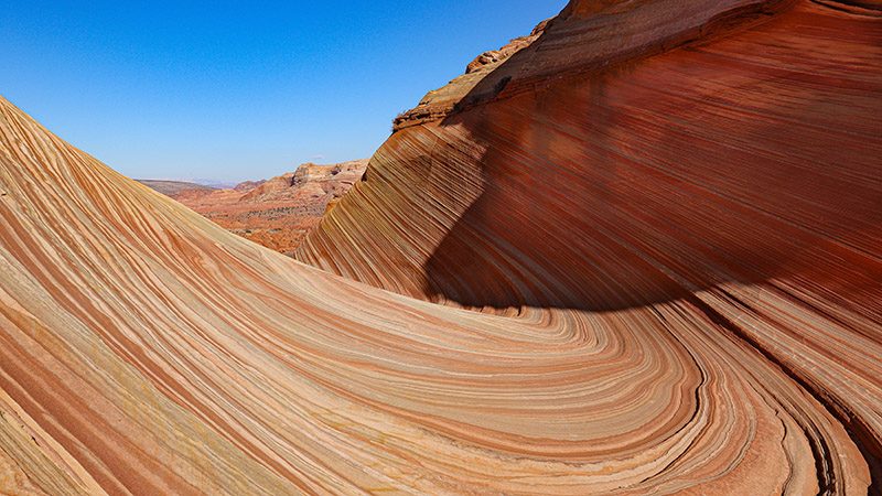
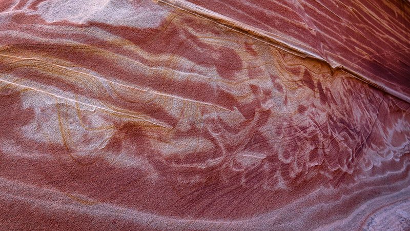
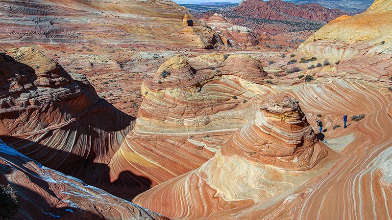
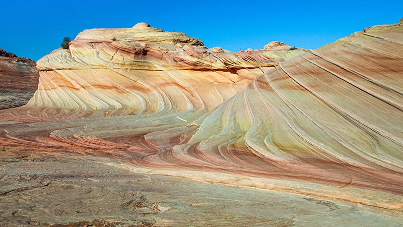
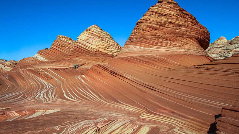
Below are some pictures of what you will see along the way.
The Hike
A hike to The Wave starts at the Wire Pass trailhead. Navigate to this place using Google Maps on your phone. Watch our video for more detailed directions.
After walking in a wash for half a mile, an obvious trail climbs out of the wash on the right. This trail continues for almost a mile in deep sand until the first sandstone ridge is crossed.
More than half of the hike to The Wave, which is 3.2 miles one-way, is on solid sandstone, which means there is no trace of a trail to follow. That is the reason why highly recommend using an app on your phone to rely on GPS to, not only follow the correct hiking route to The Wave, but to also find all the features around it.
Around The Wave
The Wave itself is spectacular to see. But there is a lot more to see all around The Wave. Some of it is tricky to access and most of it is difficult to find.
If you climb out of The Wave heading south, you’ll find all kinds of wildly shaped rocks with a wide array of colors. Using your map or navigation app, try to find the following features:
- Mini Wave
- Second Wave
- The Boneyard
- Sand Cove
- The Alcove
- Melody Arch
The best way to see all these places is to study them a on map first before you go and decide the route you’re going to take. Just remember that to access some of these places, you’ll have to walk over some very steep surfaces, and it is easy to fall and get injured. Remember that help is a long way away.
Resources
Below are several on-line resources that we used when planning our trip to The Wave:
- TheWave.info – Exploring the Southwest: https://thewave.info/
- BLM webpage on North Coyote Buttes
- Wikipedia’s entry on The Wave: https://en.wikipedia.org/wiki/The_Wave_(Arizona)
Trip Map
As mentioned, we recommend that you use a hiking navigation app such as Google Maps or Gaia GPS. Both apps show different features on their maps around The Wave. Gaia GPS provides additional data about things to see around The Wave that is provided by other contributors.
If you are not familiar with Gaia GPS and enjoy exploring the Southwest, it is well worth your while to learn how to use this valuable app. Click the ad below to purchase Gaia GPS using our discount code which offers up to a 50% discount.
Learn more about our maps.
Comments
Read and leave comments about this post on YouTube.
Support Us
Help us fill up our tank with gas for our next trip by donating $5 and we’ll bring you back more quality virtual tours of our trips!
Your credit card payment is safe and easy using PayPal. Click the [Donate] button to get started:
