Pumpkin Patch – Anza-Borrego
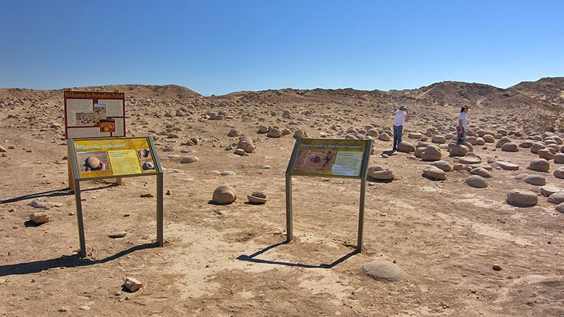
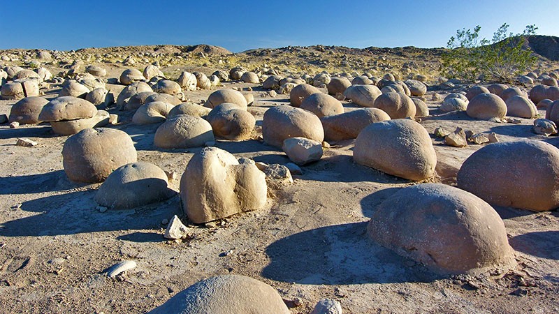
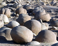
Located just east of the Anza-Borrego State Park boundary is a unique geologic phenomenon known as the Pumpkin Patch. Here, you’ll find a patch of land, roughly the size of an average city block, covered with spherically-shaped rocks that are all the size of an average pumpkin.
The surrounding desert terrain is very consistent, with its soft rolling sandy hills covered with creosote bushes. It is the same terrain that you’ll pass for several miles after leaving the pavement of Hwy S-22. To finally reach and see this collection of round boulders strewn in just this small area is really quite a sight to see.

Getting There
Getting to The Pumpkin Path will test your navigation and path finding skills. Much of the route from the paved S-22 to the patch is using a dirt road, actually a route, which follows several washes. Make sure you bring a good map with you that will show the roads in this area.
Many GPS units do not show the roads for this area. So don’t expect to rely on your GPS. However, having a GPS that shows latitude and longitude is helpful because the patch is at 33.2228 degrees north by -116.0688 degrees west and will give you a clue of where it is located.
You will need a high-clearance vehicle, preferably one with 4WD, because there are several stretches of sand in the washes. Do not take an automobile to the Pumpkin Patch!
To start your trip, from downtown Borrego Springs, the beginning of the dirt road can be reached by following S-22 east from Christmas Circle for about 16 miles. Turn right onto the dirt road that veers off S-22 at about 30 degrees.
Once on this dirt road, it is approximately 7.5 miles to the Pumpkin Patch. In a short distance, the road passes through a campground. Keep on the road which trends southeast and eventually leads you into a wash.
When we visited in 2009, there were a few signs that pointed the way to the Pumpkin Patch. Unfortunately, there were a few key road intersections where there was no sign and one could have made an incorrect turn and would never reach the patch.
There were also signs pointing out where two different oasis’s are located. The two oasis are just off the road and are worth a short stop and visit.
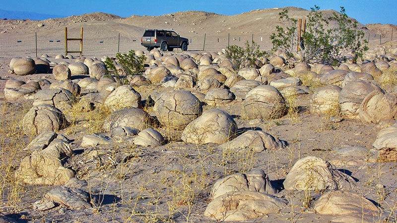
Shortly after passing Five Palms Springs (one of the oasis’s), make sure to turn left (towards the east), which is the halfway point, to reach the patch. The patch is located about 300 feet off the right of the road and can be spotted because of the fence that was erected around the patch.
More…
Pictures
Below are some pictures of what you will see along the way.
Shop for Anza-Borrego items
Scroll down to see and shop for items related to the Anza-Borrego area from Amazon.
Virtual Tour on YouTube
Visiting the Site
The Pumpkin Patch itself covers about an acre and is surrounded by a fence. It is a amazing that to see that this geologic oddity occurred in such a small area and in a very remote place.
There is a large open area to the north of the Pumpkin Patch to park your vehicle. Located in this open area are restrooms.
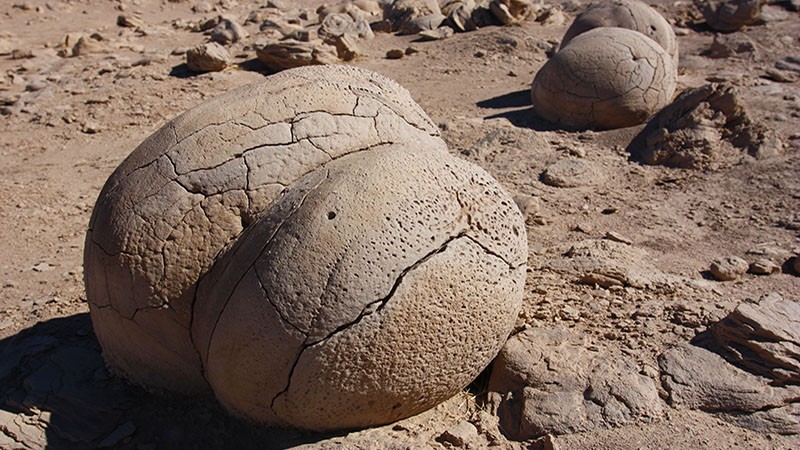
There is a skinny opening in the fence which serves as the entrance to the Pumpkin Patch. Here, you can walk in and closely inspect the odd boulders that are the “pumpkins”. Be sure to walk around the patch to see the different varieties of boulders in their different stages of erosion.
What are They?
Undoubtedly, you are going to walk through the Pumpkin Patch and wonder, what the heck are these things or how did these rocks end up this way? Geologists call these types of rocks “concretions”.
Concretions form much the same way a pearl forms inside an oyster. The “pumpkins” hold their form together beginning with loose sand that is wet and close to the ingredients of concrete – hence the name concretion.
The formation process begins with a small object. This can simply be a piece of a shell, a rock or even an insect. As the wind blows wet sand against the object, it sticks and is cemented together. When the water evaporates, the sand becomes hardened around the object. When the next wind and rain event comes along, the wet sand builds another layer around the object. Eventually, blowing sand erodes them and shapes them into the big round balls you see today.
Obviously, this small one acre place contained all the right ingredients and processes for these pumpkins to form. Although there are other concretions found around the world, this is probably the best example of a group of concretions that have been formed into numerous large balls, now known as the Pumpkin Patch.
Support Us
Help us fill up our tank with gas for our next trip by donating $5 and we’ll bring you back more quality virtual tours of our trips!
Your credit card payment is safe and easy using PayPal. Click the [Donate] button to get started:
Subscribe
Submit your email address and we’ll notify you when there is new content.
[subscribe2]
