Historic Train Trip thru Feather River Canyon and Mt. Shasta Country
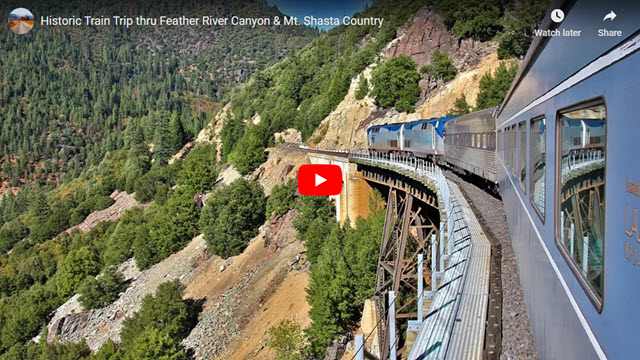
On this trip, we are trading in our usual dirt-road travel for something on two iron rails. Join us as we take this unique train trip on a seldom-traveled route through remote Northern California and Oregon aboard a collection of historic railcars. Our three-day excursion starts in Sacramento and goes through the Feather River Canyon, onto the BNSF Inside Gateway, past Klamath Falls to Chemult (south of Bend), down around Mt. Shasta, along the rugged Sacramento River, over Lake Shasta, then down the middle of the Sacramento Valley and back to our starting point in Sacramento.
The Genesis of our Trip
Railroad enthusiasts had been planning this trip for several years. Their plan was to roundup most of the privately-owned and restored rail coaches around California, negotiate with three different railroads (BNSF, Union Pacific and Amtrak), lash the coaches altogether into one train and then hook them up behind two modern-day Amtrak locomotives. And part of this trip would travel on rails that haven’t seen a passenger train since the 1970s. Quite ambitious! We were very honored to be able to join this historic 2015 trip and now you can go along, too!
Our trip almost didn’t happen. A few of the railcars were stored in towns served by Union Pacific and, after negotiating a cost to move them, the UP decided to triple the price plus they were trying to back out of allowing the special train to operate on segments of their track. After some wheeling and dealing, a last-minute deal was struck, and the trip was back on. BNSF railroad was very accommodating and stuck with the original plan.
Our Trip Starts
Starting at Sacramento station, just a few hundred feet away from historic buildings and museums that mark the western terminus of the first Transcontinental Railway completed in 1869, we headed east, then immediately turned north onto tracks originally built by the Western Pacific Railroad. Ironically, the Western Pacific built the last transcontinental railroad completed in 1909, which goes through the Feather River Canyon above Oroville, California, and provided an easier crossing over the mighty Sierras back then. When it was completed, the new Western Pacific line stretched from the San Francisco Bay to Salt Lake City. Now, the UP owns the track through the canyon and eastward into Nevada.
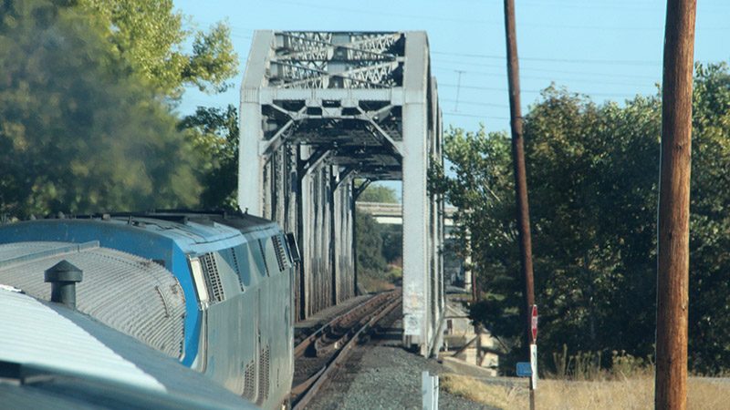
After we turn north onto the Western Pacific line, we cross a steel bridge over the American River. The line then heads needle-straight for over 35 miles towards Oroville.
Lake Oroville
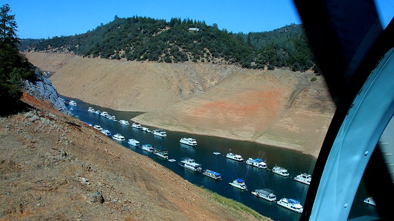
An hour out, our train went through Oroville and crossed the almost-empty Lake Oroville (due to years of drought – our trip occurred in 2015). The tracks we are on were built in 1962 because the original tracks built around 1910 were in the basin of the soon-to-be-filled Lake Oroville. See the map on our virtual video tour below to see the before and after route. The new route passes through several tunnels and over two fairly spectacular bridges. One bridge, a double-decker, has the highway on the top deck and the tracks on the bottom deck.
Feather River Canyon
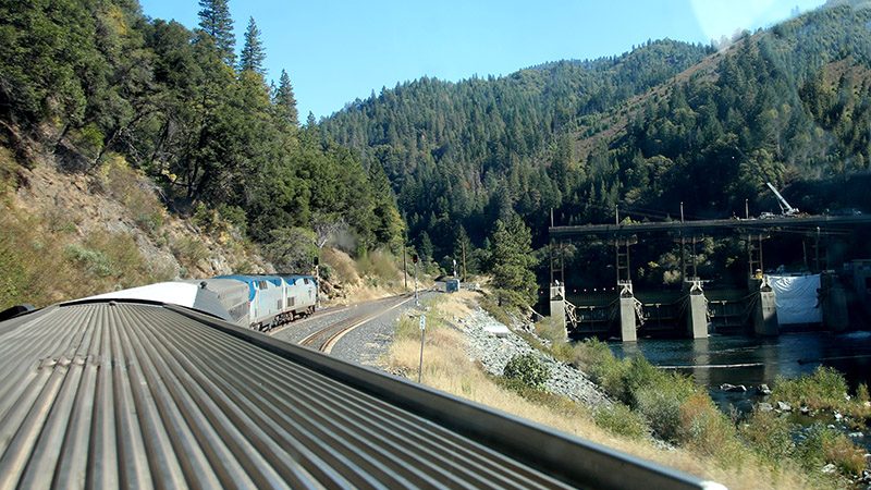
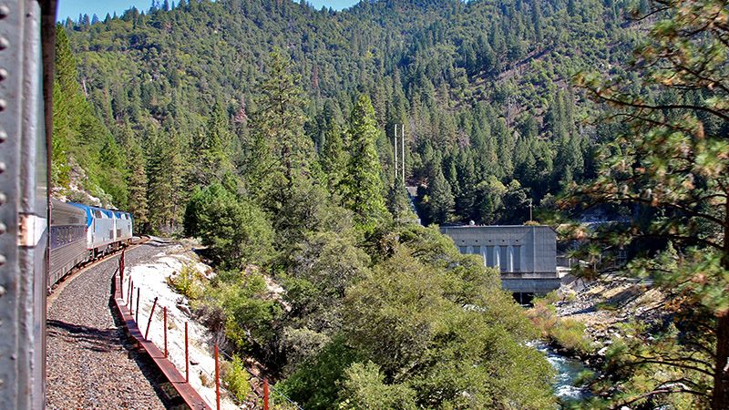
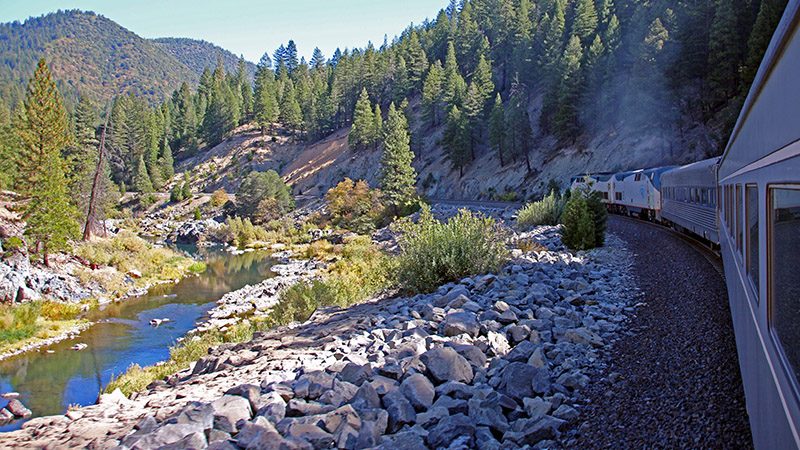
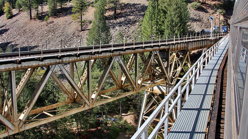
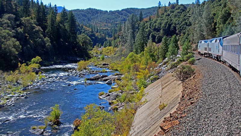
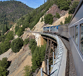
The stretch of track through the Feather River Canyon hasn’t seen a passenger train since the 1970s. We enjoyed the typical mountain scenery of the Sierra Nevada’s, passed under and over many steel bridges and watched the Feather River flow by just below us as we rode on a railbed that was originally hand carved out of solid rock.
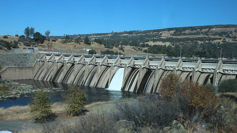
In the beginning of the canyon, several dams are passed. Most of these are for diversion and power generation. Due to the drought, the river again seems very lethargic and doesn’t look normal.
Keddie Wye
After traveling through the canyon for over an hour, we arrived at one of the more famous railroad junctions in the western U.S. – the Keddie Wye. This three-way junction is unique because two of its sides are suspended on a high steel trestle and the third is inside a tunnel. The first segment of the bridge, which is what the Western Pacific line continues on to Nevada, was built around 1909. The segment that continues north, the one we are taking, was built around 1930. Incidentally, the “last spike” ceremony for the Western Pacific line was held near the bridge on November 1, 1909.
At the Keddie Wye, our train stops for about half an hour for a crew stop. It was just after lunchtime, and the locomotive’s crew has been working since the early morning, as the train originated in Oakland. Much to the many railfans delight that were perched all over the hillside above the trestle, they got to observe our historic train for a good 30 minutes.
Inside Gateway
From the wye, we turned north onto the BNSF “Highline” (also known as the Inside Gateway and originally built by the WP and the Great Northern Railway) as the WP tracks headed east to Nevada. The Highline climbs out of the Feather River Canyon and gains altitude into the northern Sierra Nevada mountain range.
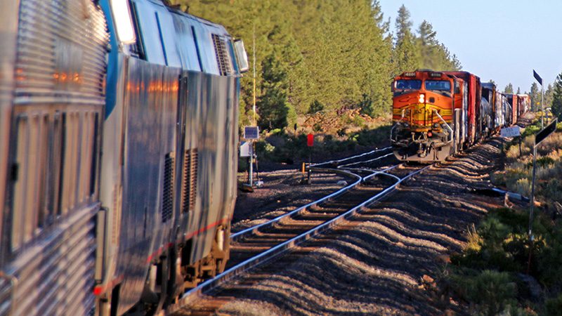
The Inside Gateway was built so that together, the Western Pacific and Great Northern Railways could compete with the Southern Pacific for freight traffic between the Bay Area and points north, such as Portland and Seattle. No normally scheduled passenger trains traversed this route, other than a few detouring Amtrak trains. Seeing this section of remote railroad track would be a treat for us.
Westwood – Overnight
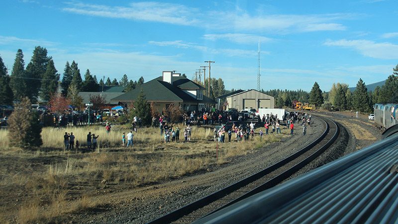
Riding the Highline took us past lakes and mountain valleys. As the day came to a close, we arrived in the land of Paul Bunyan and his ox Babe and the former logging town of Westwood. Much to our surprise, the whole town (literally) came out to greet us and our unusual train. There was a fair going on in town and we were all welcome to join in. We spent the night in nearby hotels.
We learned that Westwood was formally a very large logging town. Two large sawmills used to operate here. There were also numerous logging railroads that crisscrossed the area. Nothing of the industry remains today.
More…
Pictures
Below are some pictures of what you will see along the way.
Oregon
The next day, we continued our trek north towards the Oregon border. We passed through a volcanic region with lots of cinder cones and lava flows and could see both Mt. Lassen and Mt. Shasta in the distance. Most of this region was forested but there were enough open meadows to reveal the distant scenery. As we crossed into Oregon, we went through a lot of farmland outside of the town of Klamath Falls.
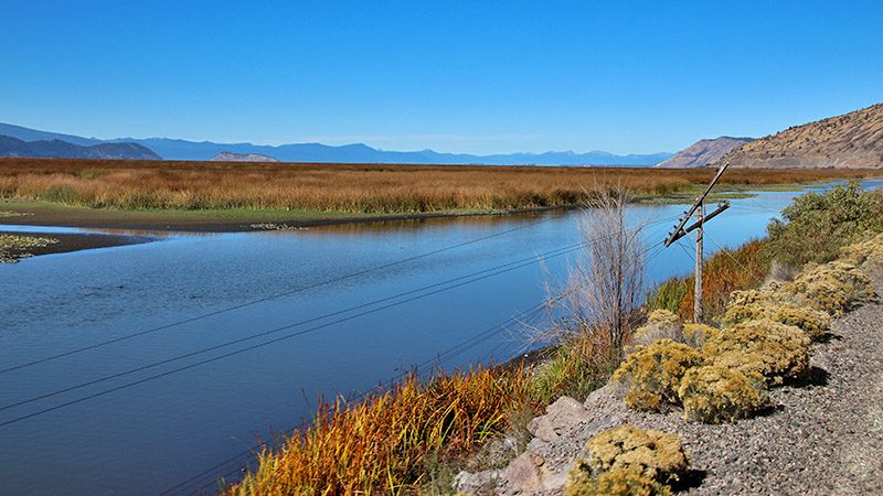
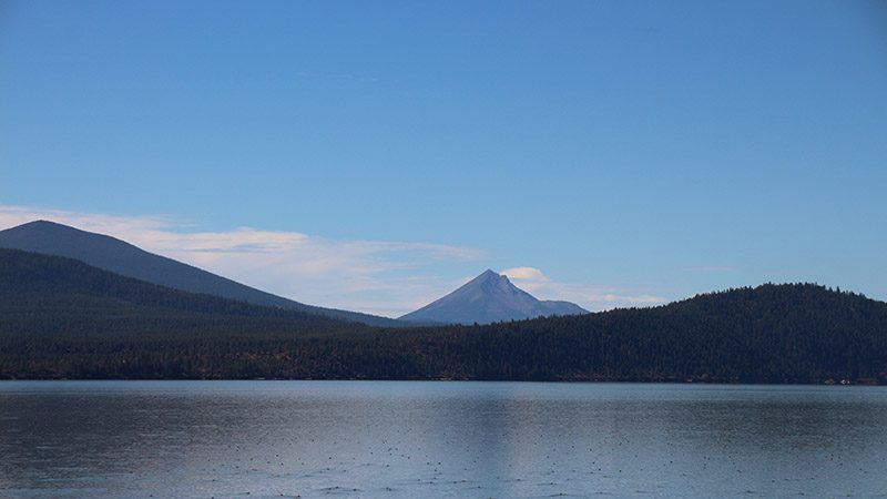
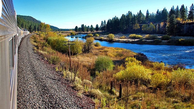
At Klamath Falls, our ride on the Highline tracks ended and we were now on the UP mainline. Here we sat at the train station while Amtrak changed their train crews (it was lunchtime once again). We were soon moving again and going by the expansive waters of Klamath Lake. There were hundreds of migratory birds near the shore and they all took off as our train passed close by. The views from here of the large volcanic peaks of the Cascades are magnificent. As we headed away from the lake, the scenery changed as we now traveled along the lush Williamson River.
We finally arrived at Chemult so, while the train prepared to turnaround, many of the passengers went on excursions, one of them to nearby Crater Lake. We, however, decided to stay on the train and explore all the other historic railcars, as the train’s crew took about half an hour to move the locomotives to the other side of the train for the trip south.
On the trip back to Klamath Falls, we helped the crew create (and sample) new cocktails by looking up and verifying various recipes on our laptop hooked up to the internet via our smartphone – something that was never imagined during the days of these historic railcars. We drank and “tested” drinks in the bar as the Oregon scenery went by.
Mt. Shasta
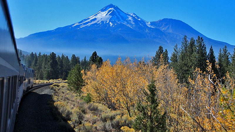
After over-nighting at Klamath Falls, we were back on the UP mainline heading south towards majestic Mt. Shasta. The railroad skirts the base of this volcano that is only 325 feet lower than Mt. Whitney (the highest peak in the Lower-48). Several of the peak’s glaciers seem close to the tracks but they are actually quite a distance away.
Incidentally, this scenery is not experienced by riders on normal Amtrak trains traveling on the UP mainline between California and Oregon because both northbound and southbound trains traverse this segment at night. As with other sections of track on this journey, we are delighted to see this section of track that are only seen by the eyes of freight train crews.
Wild Sacramento River
The tracks then descend into a canyon gouged out by the Sacramento River and we followed the wild and scenic river all the way to Lake Shasta. The towns of Weed, Dunsmuir and Lakehead are passed.
We cross a bridge that crosses the river in a 180-degree loop. It was here that a Southern Pacific freight train derailed due to the tight turn and tossed several car-loads of poison liquid into the river. This spelled the end of the railroad giant as they had to spend many millions of dollars to clean up the mess which ended up killing a lot of wildlife. A few years later, the Southern Pacific was absorbed by Union Pacific. The bridge now has large steel beams on the inside portion of the curve that will hopefully hold back any derailed cars if such an incident occurs again.
Lake Shasta
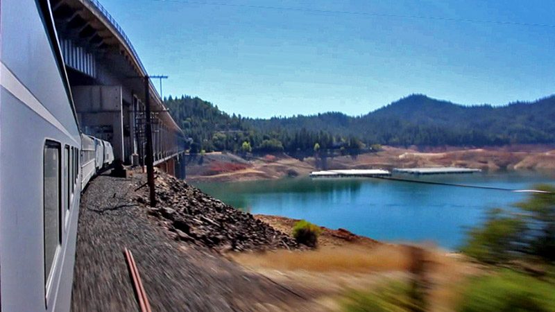
After passing the town of Lakehead, we begin crossing over arms of Lake Shasta. Just like Lake Oroville earlier in our journey, this lake was also drought-stricken. We went over several bridges where we could see features that haven’t been seen in decades because they were underwater.
The line passes over another unique bridge spanning a large arm of Lake Shasta with the Interstate 5 freeway on the top deck and our railroad line on the bottom deck.
Our Trip Ends
The tracks exited the Cascade Mountains near the town of Redding and we headed down the great Sacramento Valley passing by towns like Red Bluff, Chico and Marysville. There was almost 2 hours of uninteresting scenery that couldn’t compete with what we saw over the past three days, so many of us dozed off influenced by the rocking motion of the train.
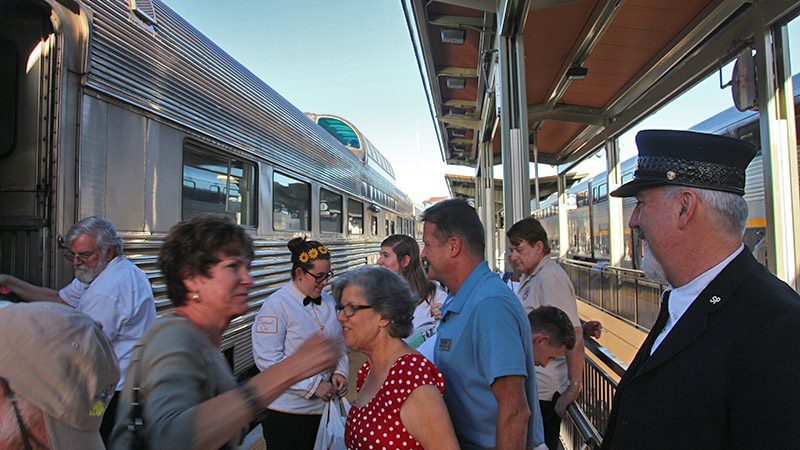
By late afternoon, we were back in Sacramento again. Here, we had about 10 minutes to disembark and said our goodbyes before the train continued to Oakland to drop-off all the historic railcars, where they would be transported the next day to their normal parking places.
Trip Map
over the North Fork Bridge
of Northern California
2nd overnight on the way back
the Sacramento River
large steel trestle near Redding
Support Us
Help us fill up our tank with gas for our next trip by donating $5 and we’ll bring you back more quality virtual tours of our trips!
Your credit card payment is safe and easy using PayPal. Click the [Donate] button to get started:
