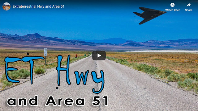
Extraterrestrial Hwy and Area 51
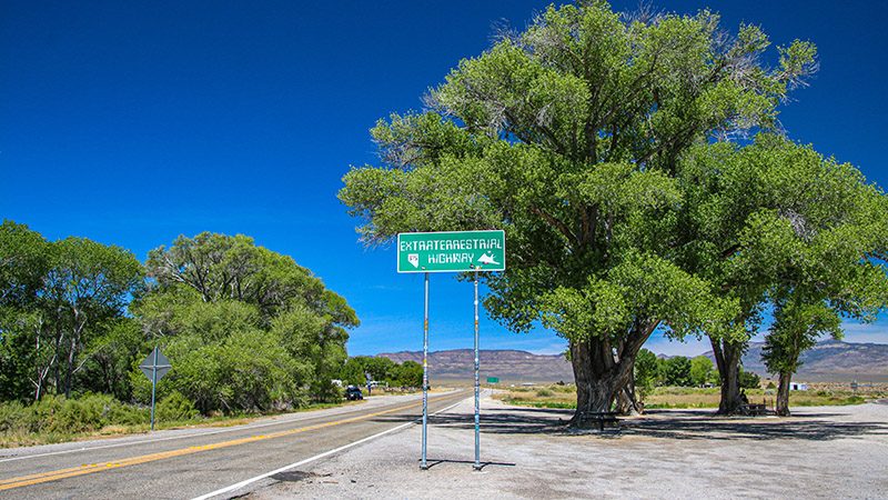
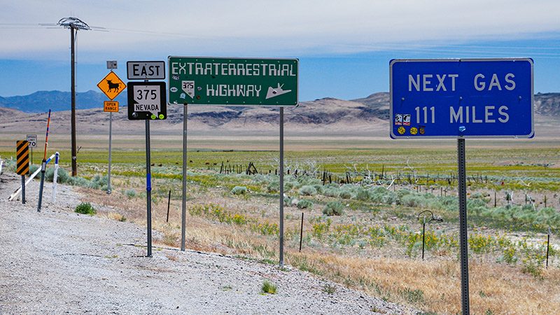
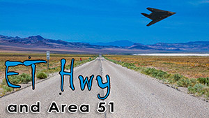
You’ve probably heard about the Extraterrestrial Hwy or Nevada’s state route 375 because it’s the closest road to the mysterious Area 51. A lot of people, mainly conspiracy theorists, talk about the things that go on around this road but they don’t give you any facts about it. They also rarely mention how scenic and beautiful this highway really is. Well, we’re here to explain a few things.
Trip Specs
Length
Attractions
- Remote landscapes
- UFO/alien lore
- Interesting geology
Difficulty
- Very remote
- No services
- Almost no cell phone reception
Elevation Gain
- Climbs and descends frequently
Many people think the Extraterrestrial Hwy, or ET Hwy for short, is located just outside of Las Vegas. It isn’t. ET Hwy is located 110 miles north of Vegas and starts from the small hamlet of Warm Springs. It ends at another small hamlet called Warm Springs located about 50 miles east of Tonopah.
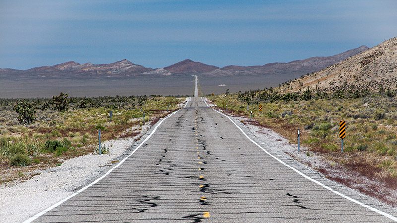
The one word that best describes the ET Hwy is – remote. You can easily stop along the ET Hwy, in the middle of the day, and not see another car for 5-15 minutes. And at night, it might be an hour or two.
But according to legend, nighttime is when the “interesting” phenomenon occur. Looking up at the sky, people say they see strange lights, glows, shapes, hear noises, etc. Since one of the most notorious top-secret testing areas is close by, these interesting things probably come from one place – Area 51.
For many people, it’s fun to conjure up stories and theories as to what is really going on out at Area 51. To clarify some of that mystery, here’s a brief description of the history of Area 51 and how it has been used for the past several decades.
Nevada Test Sites
In the large swath of Nevada desert between Las Vegas and the ET Hwy sits the Nellis Air Force Range. This area is actually a combination of facilities used by different branches of our military. Part of the Nellis Range was used for nuclear weapons testing. You may have heard of places like Mercury, Nevada or Frenchman Flat. All of these places, where testing occurred, have area numbers – Area 15, Area 32, etc.
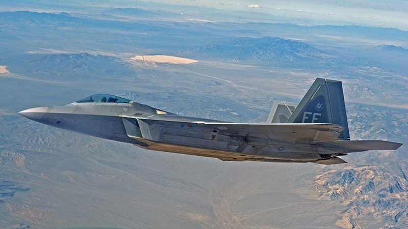
When the CIA needed a remote place with a long runway to test a top-secret airplane, they were given a big dry lake, called Groom Lake. It had an area designation of 51. So, that’s why you hear the names Area 51 and the Groom Lake Facility used interchangeably when people talk about that area.
The facility came into being in 1955, when testing began on the Lockheed U-2, a high-flying spy plane. Since then, Area 51 has been used to test and develop several other top-secret and high-tech aircraft, such as the beloved SR-71 Blackbird. Once these planes were developed and repeatedly tested at Area 51, they were then mass produced near Los Angeles, and then they were operated at another top-secret facility. That facility is the second secret place that the ET Hwy passes by, the Tonopah Test Range.
The Tonopah Test Range, or TTR for short, which is also referred to as Area 10, is about 30 miles southeast of its namesake, the historic mining town of Tonopah. Some conspiracy theorists and even a Bugs Bunny cartoon refer to the TTR as Area 52. This was probably their way to associate it with area 51, but that isn’t the correct designation. There is no secret place named Area 52.
Pictures
Below are some pictures of what you will see along the way.
Trip Route
Our ET Hwy road trip starts on Nevada State Route 375, less than a mile east of US 93, and ends at 375’s intersection with US 6, just under 100 miles from its start. There is no fuel or other services for over 150 miles, so make sure you start your journey with a full tank of gas, some water and maybe a few road-trip snacks.
At the beginning of the trip, an entrepreneur set up the Alien Research Center which is a gift shop catering to tourists who have come to the area in search of UFOs and aliens. After passing this lone business, you will see only the vast landscape until you hit the very small town of Rachel, which is 40 miles away.
During this 40-mile stretch, you’ll pass through Tikaboo Valley, which is home to an unusual transition zone in the Mojave Desert. This is where two sub-species of Joshua trees live together. This is also the closest you’ll get to Area 51. When entering this valley, you’ll see an obvious straight dirt road on your left that crosses the valley to the next mountain range. This is one of two roads leading to Area 51 which are, of course, restricted.
Rachel is home to the world-famous Little Ali-Inn. Here, you’ll learn more about alien folklore, how the ET Hwy actually got its name and its relationship to the 1996 movie, Independence Day.
As the ET Hwy heads west into the next valley, an unmarked paved road leads to the hills on the left (south). This is an access road to the TTR. If you continue your trip all the way to Tonopah, you’ll pass another road to the TTR, this one marked with an old missile on display behind a fence. Both of these roads are restricted, too.
Other than the town of Rachel, no other signs of life are found along the ET Hwy. Exception are some cattle and maybe a pronghorn antelope or two. For us, the ET Hwy really showcases the vast, wide-open spaces and true beauty of the Nevada desert. This area is also known as the Great Basin. When we travel the ET Hwy, we always enjoy the scenery and have never seen a UFO. And that’s OK.
Trip Map
To help plan your trip, use our interactive Google Map below. Be sure to switch to Satellite view to see the terrain.
Learn more about our maps.
Support Us
Help us fill up our tank with gas for our next trip by donating $5 and we’ll bring you back more quality virtual tours of our trips!
Your credit card payment is safe and easy using PayPal. Click the [Donate] button to get started:
