Cima Road
The Mojave National Preserve only has a handful of paved roads into its interior and Cima Road is one of them. There are lots of things to see and do along this road and, for those who travel the I-15 between Las Vegas and Los Angeles, it can provide a nice break from what is often a monotonous and traffic-congested drive.
Scroll down to read more…
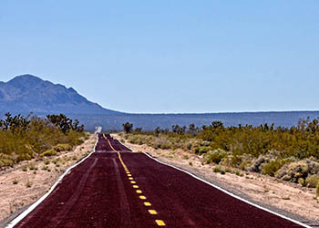
You could easily spend half a day exploring the assorted attractions along Cima Road but you don’t have to. Just add an hour to your travel time and enjoy a relaxing drive on a road where there are almost no other cars and all that beautiful Mojave Desert scenery.
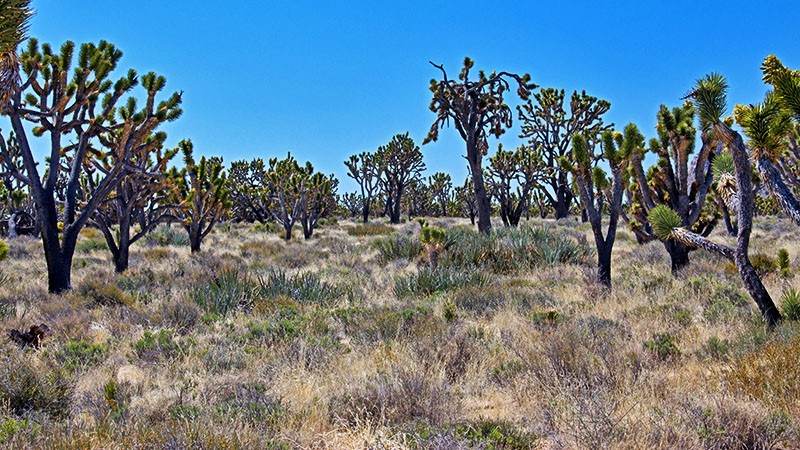
On your short journey from the I-15 to the small desert hamlet of Cima, you’ll see countless Joshua trees, a large variety of desert plants specific to the Mojave Desert, a well-maintained hiking trail, the ruins of various old buildings, a small portion of what used to be a large cattle ranch from the late 1890s, a historic memorial and maybe (if you’re lucky) a tortoise or two. A drive along Cima Road truly gives the curious traveler a quick peek into what the Mojave National Preserve has to offer.
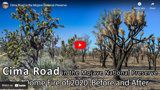
Dome Fire of August 2020
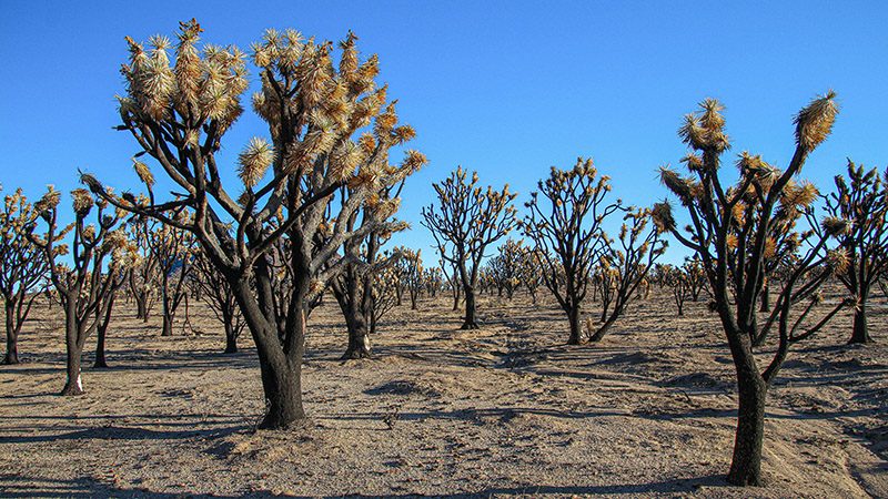
Before we excite you about visiting this corner of the Mojave Desert, we need provide this disclaimer: much of this area was devastated by fire in August of 2020.
We originally wrote most of this article in March 2014, with photography taking place from 2002 to 2014. We then visited in December 2020 in preparation to update this article and accompanying video tour.
The fire was started by lightning on August 15, 2020 and because there were many other fires going, at the same time, this fire was given a low priority. It burned for almost two weeks.
It ended up destroying 43 thousand 200 acres. Much of the Cima Dome area is now a graveyard of Joshua tree skeletons. It is estimated that as many as 1.3 million Joshua trees were killed in the fire, as well as countless cactus and other desert plants.
When we visited, we expected to find no vegetation at all and piles of ashes. Instead, we found a forest of Joshua skeletons and small ash mounds where the desert plants once stood. With the abundance of those skeletons, we were hopeful that some may survive and in ten years or so the place would be a forest of mutant Joshua trees similar to places we visited in western Joshua Tree National Park.
Visiting this area along Cima Road is sad indeed, since this place is probably no longer the largest Joshua Tree forest anywhere. It does give an idea of what happens after an event like this. South and east of the burn zone however, much of the desert vegetation still thrives and is very dense here as compared to other places in the Mojave Desert.
Getting There
This road trip begins at the Cima Road exit which is either 26 miles north of Baker or 23.5 miles south of the Nevada border on the I-15. From the off ramp, reset your odometer to zero and head south towards the lonely gas station (which usually has very high gas prices). Soon you’ll be climbing a very gradual hill as you watch the Joshua trees around you become thicker and thicker.
Tortoises
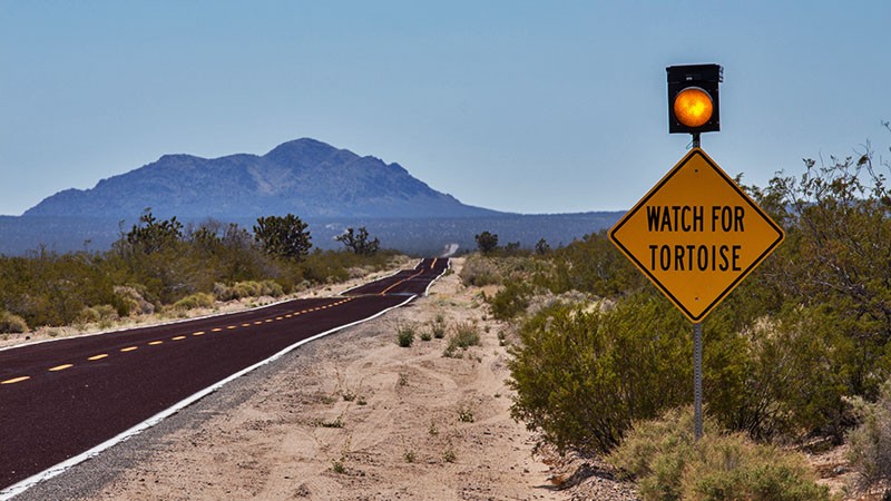
The sign at the beginning of Cima Road warns to watch out for tortoises crossing the road. We’ve traveled Cima and Kelbaker Roads many times and have encountered a tortoise crossing the street twice.
When you’re traveling at 55 mph or higher, what might seem like a small rock in the road in the distance can be a tortoise right in front of you a few seconds later. So be alert and remember to keep your eyes on the pavement ahead of you while you are also looking at the desert scenery.
Tortoises hibernate. Typically, if the average daytime temperatures are below 70 degrees, tortoises will be in a burrow hibernating. So during the winter months, don’t expect to see many tortoises. But once the temperatures have been above 70-80 degrees for a few weeks, your chances are good at seeing a tortoise.
Flower Blooms
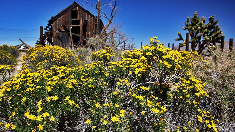
Cima Road is a great place to see wildflowers and cactus blooms during the spring months. Because of the varying altitude of Cima Road, it reaches different plant communities that bloom during different periods of the year based off altitude.
Learn more about plants that bloom in the Mojave Desert by going to our article on Mojave Desert Wildflowers.
Valley View Ranch
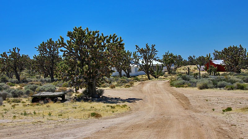
At the 10 mile mark, look for a small sign on your right that says Valley View Ranch. If you would like to see an old ranch nestled amongst the largest concentration of Joshua trees on the planet and don’t mind driving on an easy dirt road, turn here. The ranch is located 1.7 miles west on this dirt road and it is what remains of a huge cattle ranch operation that stretched all the way from the other side of the I-15 to beyond the railroad tracks you’ll see in Cima. A few decades ago, it was common to see thousands of cattle roaming around the desert here. This small part of the ranch is being preserved by the National Park Service and a caretaker currently lives there. It is okay to drive or walk around here but please be respectful of the caretaker’s area.
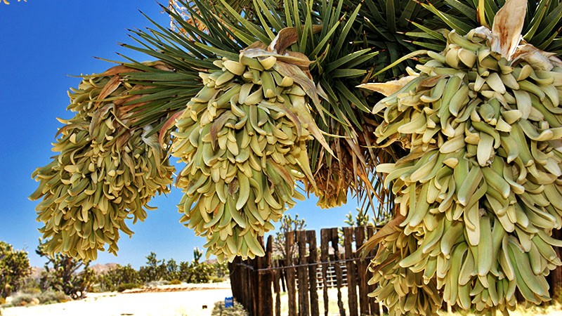
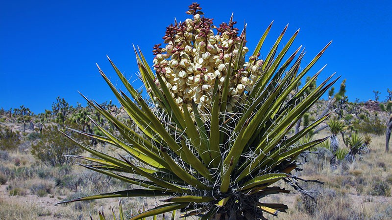
If you continue west, past the ranch for another mile or so, the Joshua tree woodland becomes even more dense. The road becomes a little rougher but still not difficult to drive. And, if you are here between March and early May, the odds are good that you’ll be rewarded with many different blooming plants and cacti, including the majestic Joshua tree.
Teutonia Peak Hike
After you find your way back to the pavement of Cima Road, reset your odometer to zero again and turn right. In 1.3 miles, you’ll see a small parking lot on the right. This is the trailhead to Teutonia Peak. This is one of the few maintained hiking trails in the Preserve. Just like the road to the ranch, the hiking trail takes you through the Joshua tree woodland which is thick with desert plants. Roundtrip hiking distance is 3 miles. The first two thirds of the trail is relatively flat and the last piece climbs up rocky Teutonia Peak which is visible from Cima Road. The end of the trail offers great views of the surrounding area including the distinctively shaped Cima Dome.
More…
Pictures
Below are some pictures of what you will see along the way.
Panoramic view of Joshua trees near Valley View Ranch
The Mojave Cross
The Mojave Cross is located across the street and just south of the parking area. This is a memorial site that was erected by World War I veterans in the 1920s. Recently, this small cross made the National news when a landmark lawsuit was taken all the way up to the federal Supreme Court. The issue was regarding the existence of religious symbols on Federal lands and the court’s decision was to allow the cross to stay.
Cima
Continuing south on Cima Road, you’ll come to an intersection at 7.6 miles from the road to the ranch. Here is the small town of Cima. There are numerous ruins of old wooden buildings scattered all around. Cima, which means “summit” in Spanish, was the end of a long uphill grade for the railroad and was the place where helper locomotives were turned around and sent back down to the bottom of the hill in Kelso, 19 miles away.
A very short distance east of Cima is a rural railroad crossing. This leads to a road that will take you to an unusual gold mine named the Death Valley Mine. For now, all of the ruins are in great shape, as the mine was actively worked up until the 1990s.
Death Valley Mine
In spite of its name, the Death Valley Mine is not related to the valley to the north with the same name. Big strikes were going on in the nearby Death Valley region (at Rhyolite and Skidoo) at the same time that this mine was founded in 1906. Since the mines in Death Valley were making big news with investors, the owners of this mine were probably attempting to cash in on the name Death Valley.
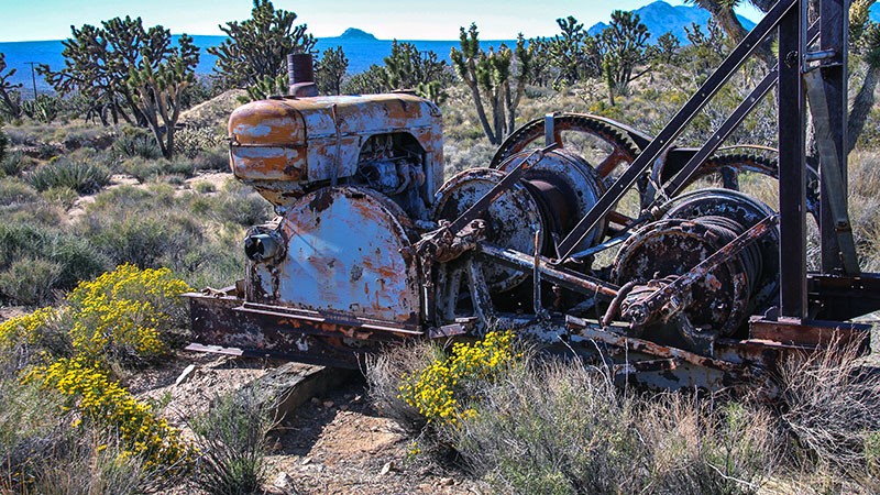
Located at the Death Valley Mine site are several abandoned buildings and mining equipment. As of 2014, it was in great shape and, hopefully, because it is in a remote location, it will stay that way for years to come.
Where to go next?
For travelers continuing on to Vegas, you can try returning to the I-15 by taking Morningstar Mine Road, to Ivanpah Road, to Nipton Road. Nipton Road has an on ramp to the I-15. For travelers going toward Barstow, try driving down Kelso-Cima Road to the Kelso Depot visitor’s center and then on to I-40. It’s a bit of a longer drive, but definitely more scenic.
These are just a few of the features that can be seen close to the pavement of Cima Road. Cima Road also gives access to other areas inside of the Mojave National Preserve. In most cases, if you don’t venture off the pavement of Cima Road, you won’t see more features of this unique desert preserve. To learn more about what there is to see in Mojave National Preserve, check out the books we list above or check out our virtual tour guide of the area.
Trip Map
To help plan your trip, use our interactive Google Map below. Be sure to switch to Satellite view to see the terrain.
Learn more about our maps.
Support Us
Help us fill up our tank with gas for our next trip by donating $5 and we’ll bring you back more quality virtual tours of our trips!
Your credit card payment is safe and easy using PayPal. Click the [Donate] button to get started:
