Mojave Narrows
Walking Around the Mojave Narrows:
In the center of the High Desert’s Victor Valley is one of the largest riparian zones in the Mojave Desert. Known as the Mojave Narrows, it is often overlooked as a place to escape our busy, day-to-day lives and enjoy some of the nearby nature that our region has to offer.
By definition, a riparian zone is a place where land and a river meet. For us, the Mojave Narrows riparian zone creates a kind of oasis in the desert where there is lush plant life and lots of wildlife.

Getting There
Get to the High Desert by using the I-15 Freeway. From the L.A. Area, that means driving I-15 over the Cajon Pass.
From either direction on I-15, head towards Victorville and exit on Bear Valley Road. Go east on Bear Valley Road for 4 miles. Starting at I-15, you may already see signs directing you to the Mojave Narrows Regional Park. After driving 4 miles through many traffic lights, look for Ridgecrest Road (just after crossing over the railroad tracks) and turn left (north).
Continue on Ridgecrest Road for 2.5 miles. You’ll see the entrance to the park on the left.
After paying a modest entrance fee, there are several places to park your car and begin exploring. You can explore on foot, horseback or mountain bike. The park boasts a campground, several picnic areas, several playgrounds for children, a water park, horseback riding, fishing at the two lakes and plenty of wide-open scenery to enjoy that will make you forget you are near a large urban area.
If you are reading this article after 2015, be aware that the street alignment for Ridgecrest Road will have changed to accommodate for a new expressway that passes just south of Mojave Narrows. Follow the appropriate signs to the entrance.
About the Mojave Narrows
The Mojave Narrows got its name from the large granite outcropping located where Highway 18 crosses the Mojave River. This outcropping acts as a natural barrier to the water that flows underground in the Mojave River. The water has to squeeze through this narrow passage and, as it does, it comes to the surface and pools.
As the water is forced to the surface, plant life can take hold and the lush oasis we now enjoy is created. This plant life in turn attracts wildlife making the Mojave Narrows a very unique ecosystem of the Mojave Desert.
Within this riparian zone, which stretches from approximately the Victor Valley College to Oro Grande, is the Mojave Narrows Regional Park. The Park is operated by the County of San Bernardino and is part of the historic Verde Ranch that was started in the late 1800s. Inside the Park are two lakes and scattered wetlands with a dense forest of cottonwood and willow trees that stretches along the riverbed for four miles and is almost a mile wide.
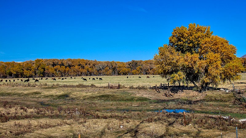
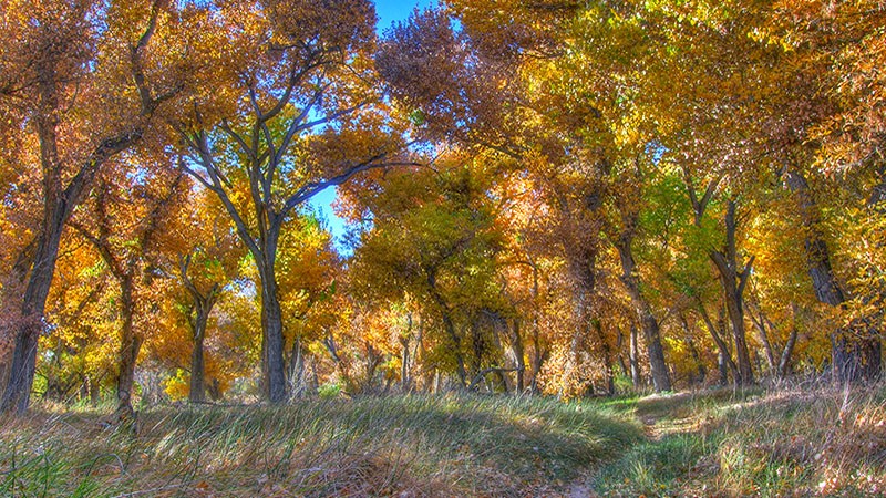
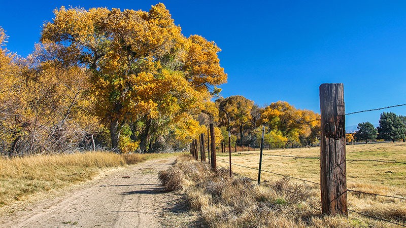
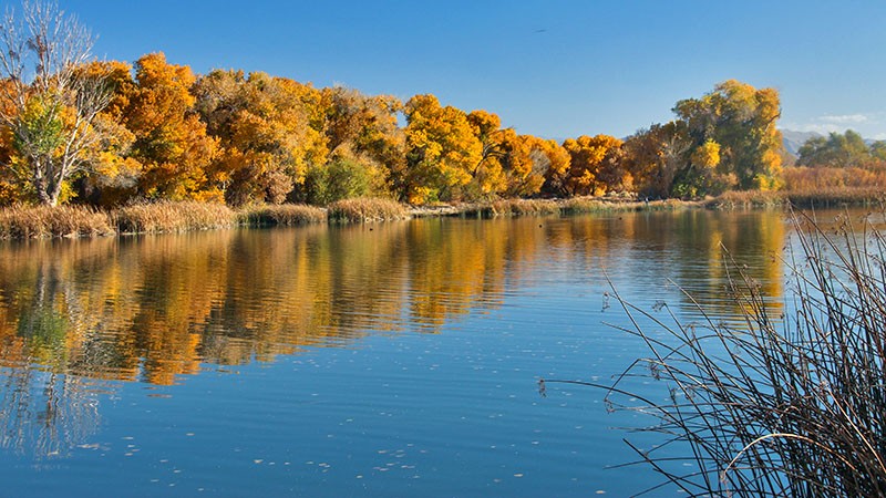
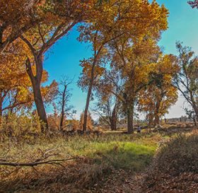
Cottonwood trees get very large and are deciduous (meaning they lose their leaves each year). In the late fall months, the leaves on these cottonwood trees turn yellow making the Mojave Narrows a great place to go for some fall colors. The best time to see these big trees in their fall colors is during the month of November or after a few weeks of near-freezing temperatures.
More…
Pictures
Below are some pictures of what you will see along the way.
Looking north to east over the Mojave Narrows
Our Hike
During a visit last November, we choose to explore the Park on foot. Although there are numerous trails to explore through the green meadows and dense forests, which were bright yellow at the time, we took a route that follows a large loop skirting the forest of cottonwoods and passing by both of the Park’s lakes. You’ll see a map and scenes of where we hiked by watching the YouTube video below.
Begin by parking your car near the horse stables which are located on the right just a short distance past the entrance station. Other parking areas are nearby, too. Put on your hiking boots and backtrack a short distance towards the entrance and then walk along the road leading to the campground. You will pass by Horseshoe Lake on your right. Walk past the camping spaces and towards the dam that creates the lake.
Walk over the dam (which was reconstructed in 2013 after being destroyed during a 2009 flood) and, while on the dam, be sure to keep your eyes open for a wide variety of birdlife that are always hanging out here. Just like any other oasis, the Mojave Narrows is an important stopover point for many species of migrating birds. The late fall and early spring months are a good time to view such birds. Typical birds that can be spotted here are the great blue heron, white pelican, cormorant, various hawks and maybe even a golden or bald eagle. Like many large birds, they are attracted to these lakes by the ample supply of fish. Eagles and other predatory birds are probably more common in the other lake, Pelican Lake, because of the nearby cottonwood trees that provide good perches for them.
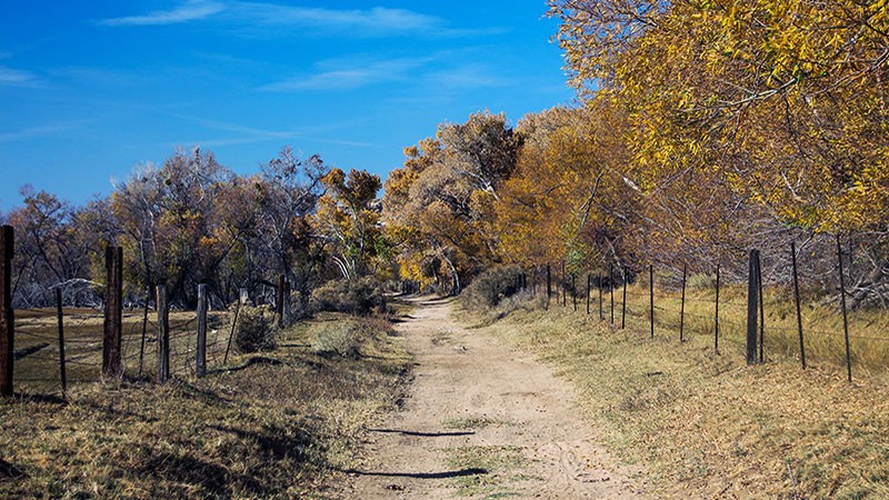
After crossing the dam, find your way over the spillways and onto a weathered road that is just beyond a small fence near a picnic ground. This road is perpendicular to the dam. Turn left from the dam onto the road that leads north. The road passes through a gate and towards the large forest of cottonwood trees. You’ll walk between some fenced pastures where there are often small herds of cattle who will keep a very close eye on you as you go by.
About a quarter mile from the dam, the road will intersect with another road that runs along the rim of the cottonwood forest. Our route this time makes a sharp right here to follow the road along the trees to Pelican Lake. If you keep going straight, you’ll have access to more trails leading into the forest and more wetlands.
Walking Along the Woods
While hiking east along the cottonwoods, you’ll see a few faint trails heading into the thick woods. A more defined trail will lead into the woods a quarter mile from the intersection. This leads to a maze of trails that meander through the forest. These trails were created for equestrians but they also work great for mountain bikers.
We’ve ridden our mountain bikes on the trails through the trees many times and they are always a challenge. When we first rode them, we got totally lost and turned around and ended up on the opposite of the forest than we thought we were! It was quite a thrill. Because this area is on the river bottom, you’d think that these single-track trails are sandy, but they aren’t. There a few sandy portions, however they are mostly hard-pack. There are also a lot of roots grown over the single-track, adding to the challenge of navigating on two wheels.
The main road passes through another gate and ends up at Pelican Lake which is only a short distance from the stables and our starting point. The total distance of our route is roughly 2.3 miles however, there are many inviting side trails that may make you want to walk further. You could also ride this route on a mountain bike which would allow you to cover more area and see more of the nature here.
Trip Map
Support Us
Help us fill up our tank with gas for our next trip by donating $5 and we’ll bring you back more quality virtual tours of our trips!
Your credit card payment is safe and easy using PayPal. Click the [Donate] button to get started:
