Pumpkin Patch
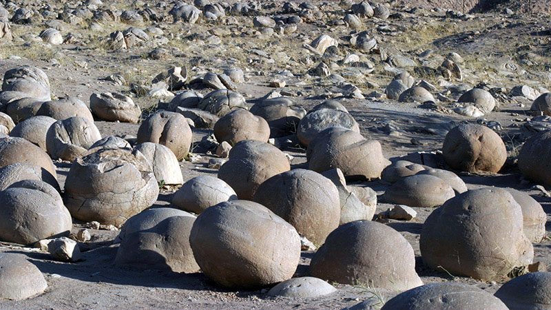
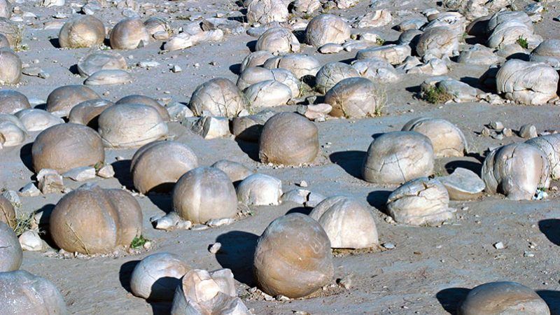
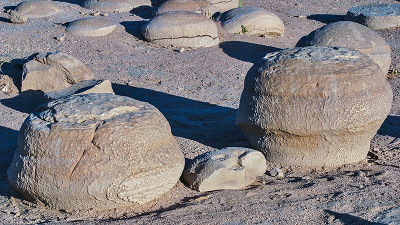
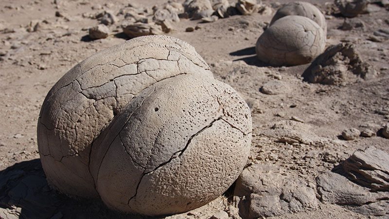
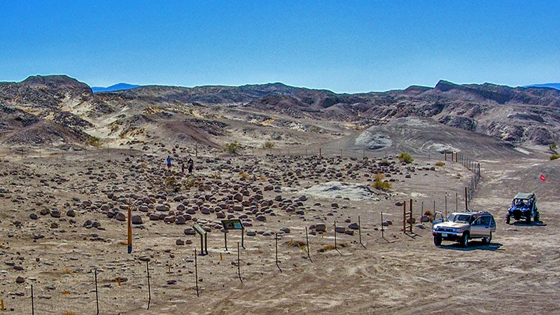
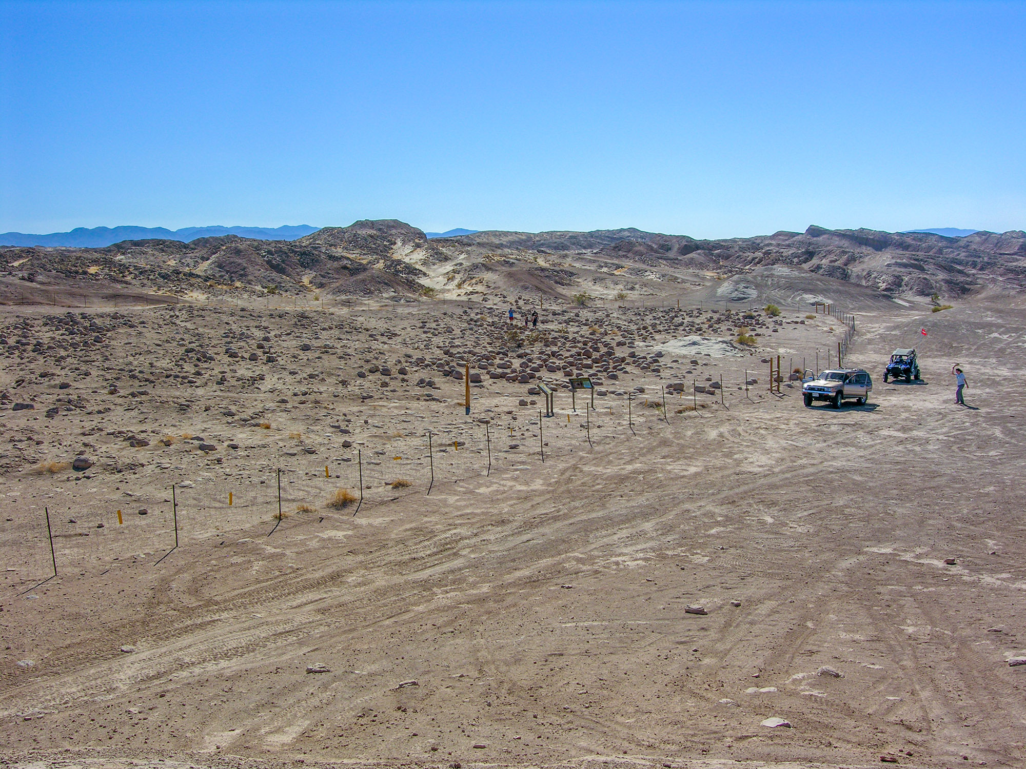
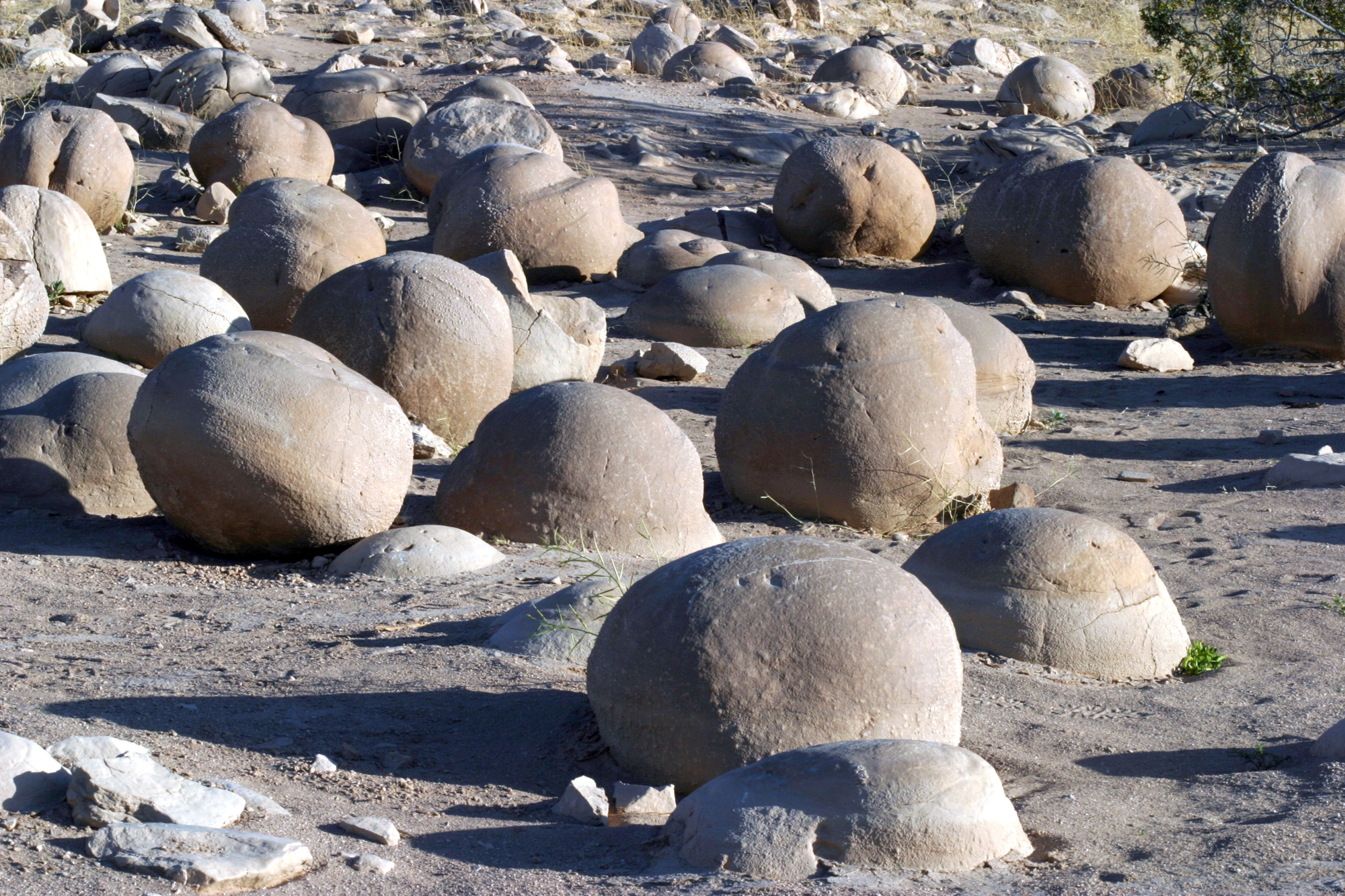
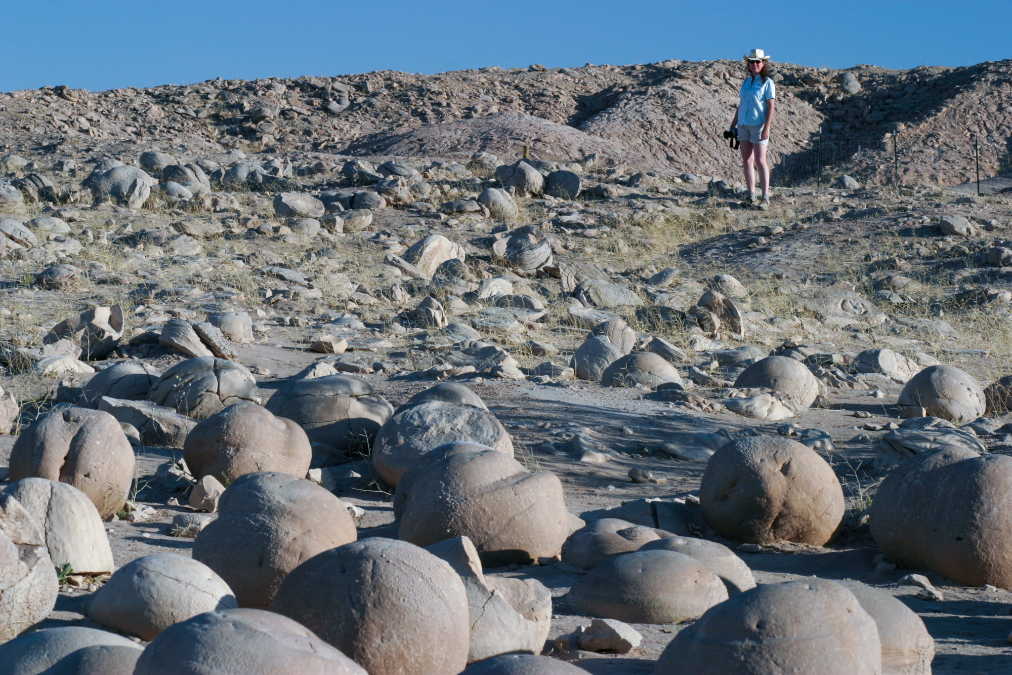
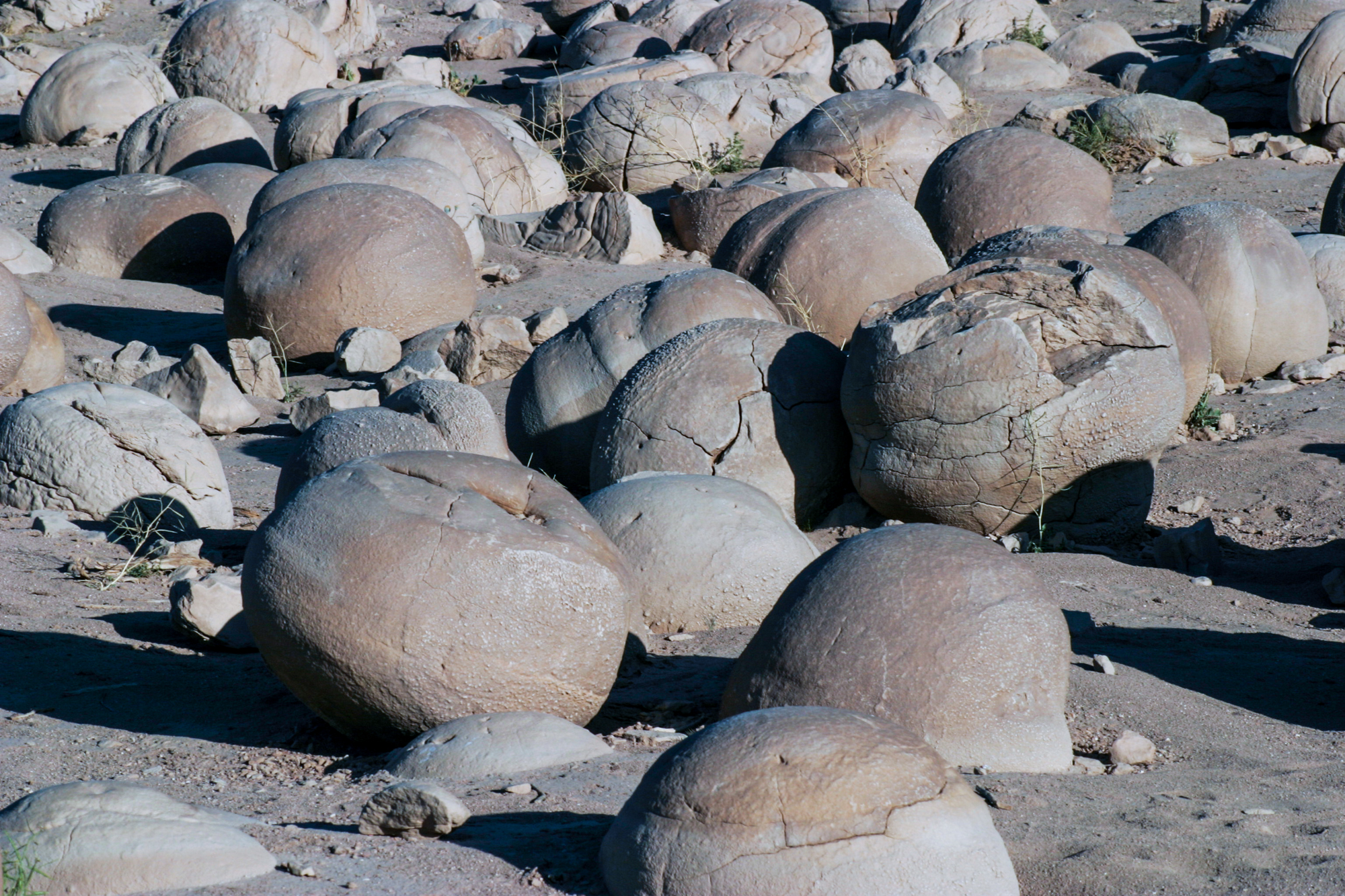
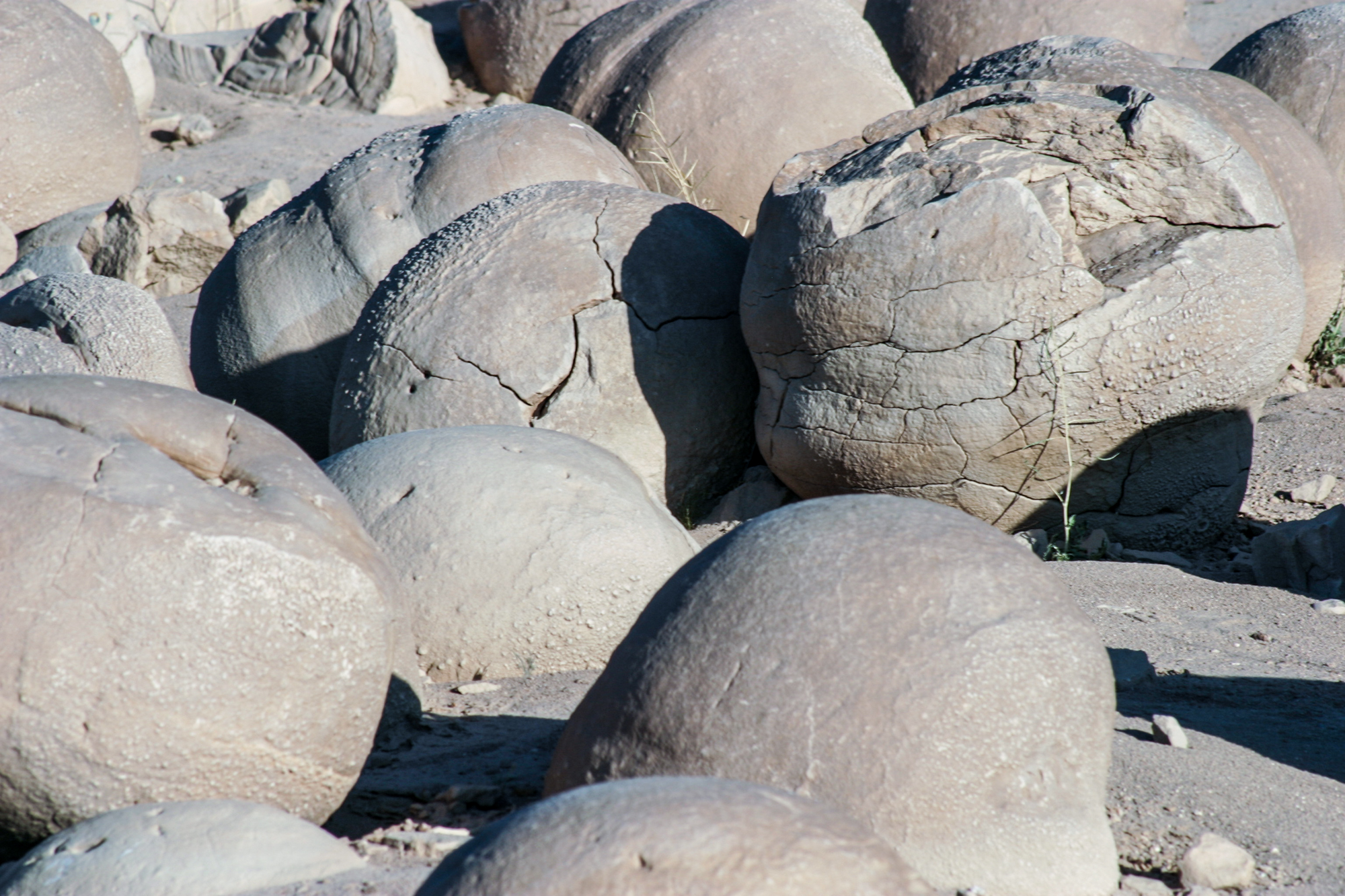
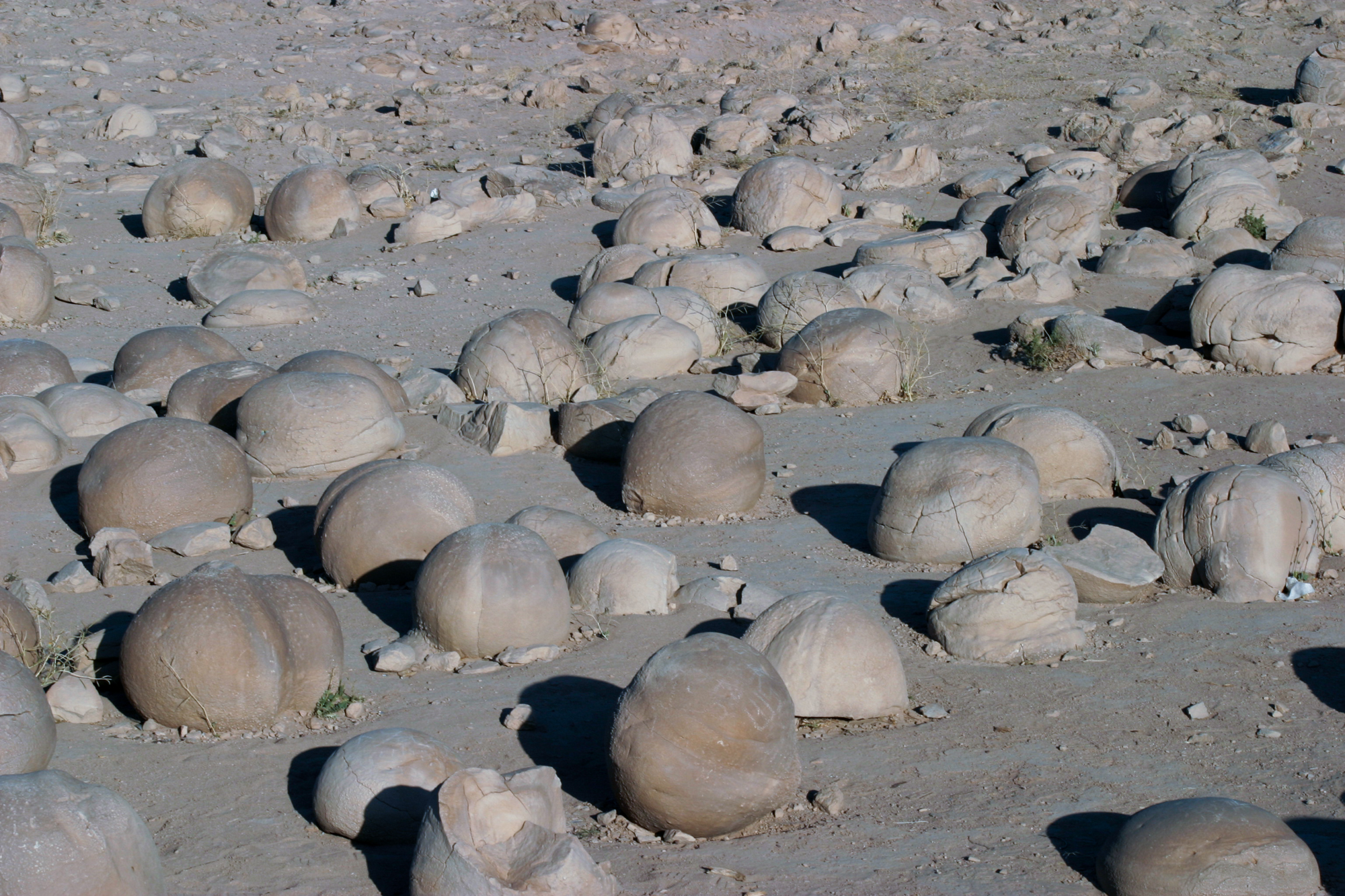
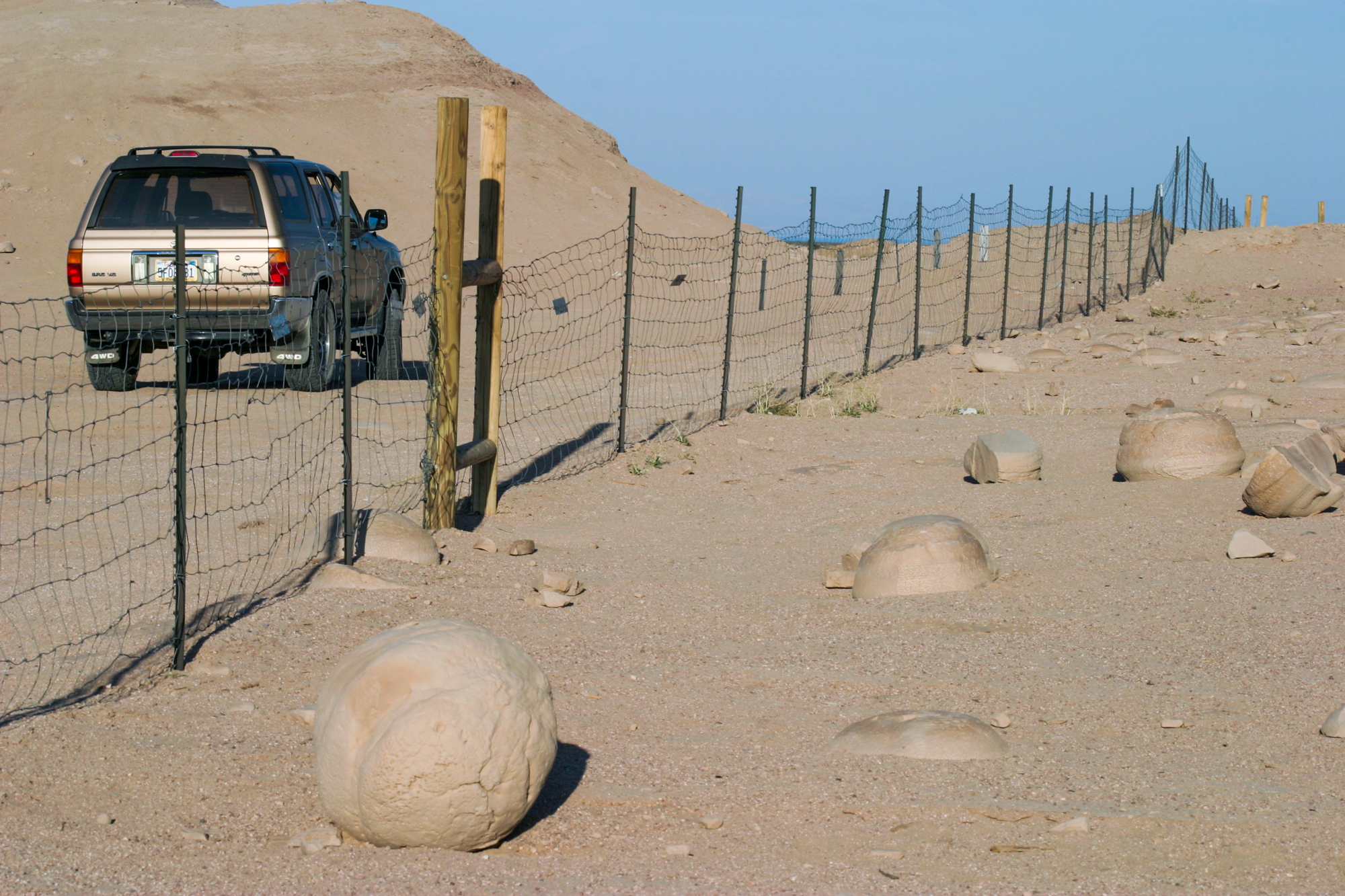
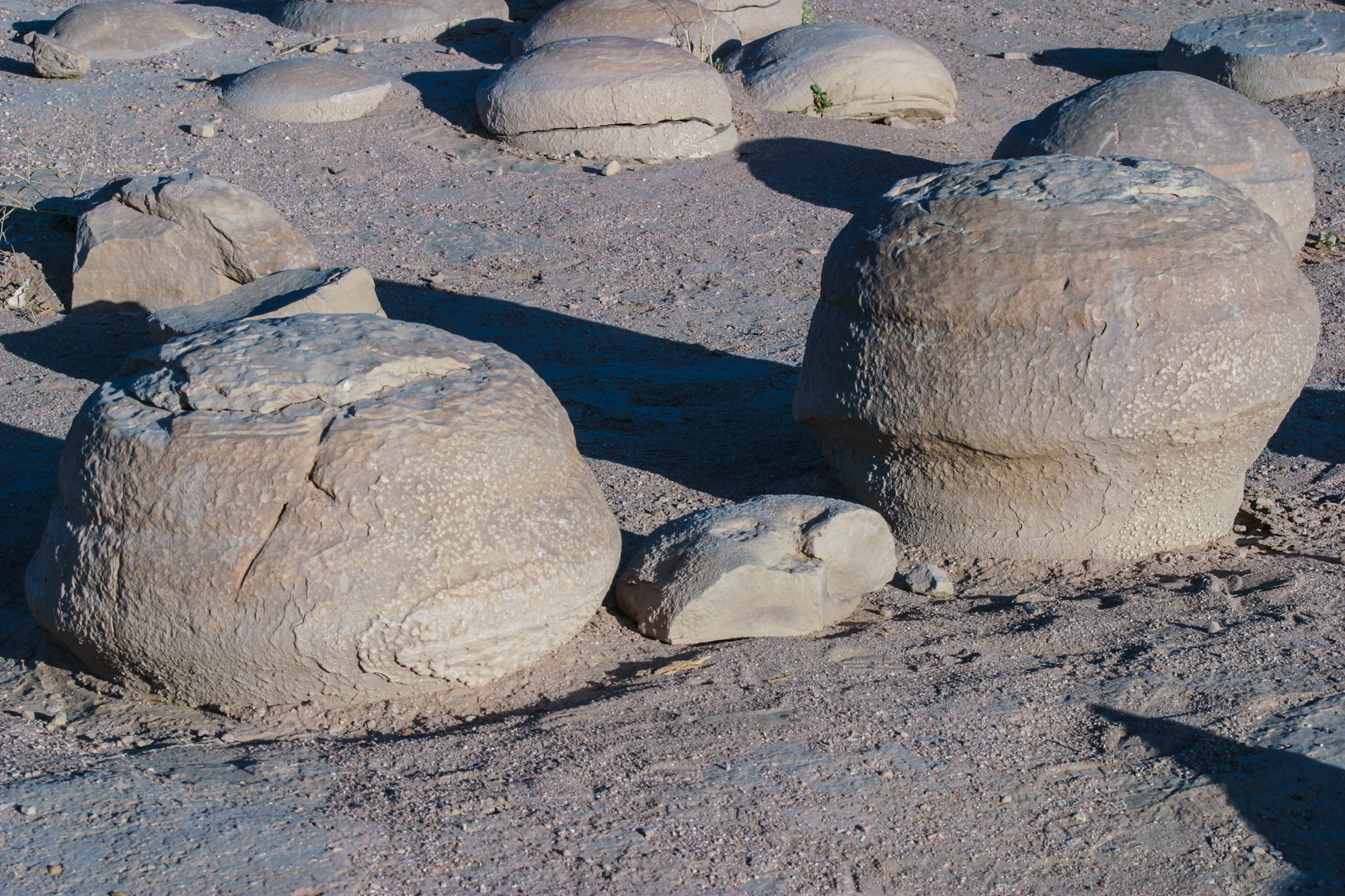
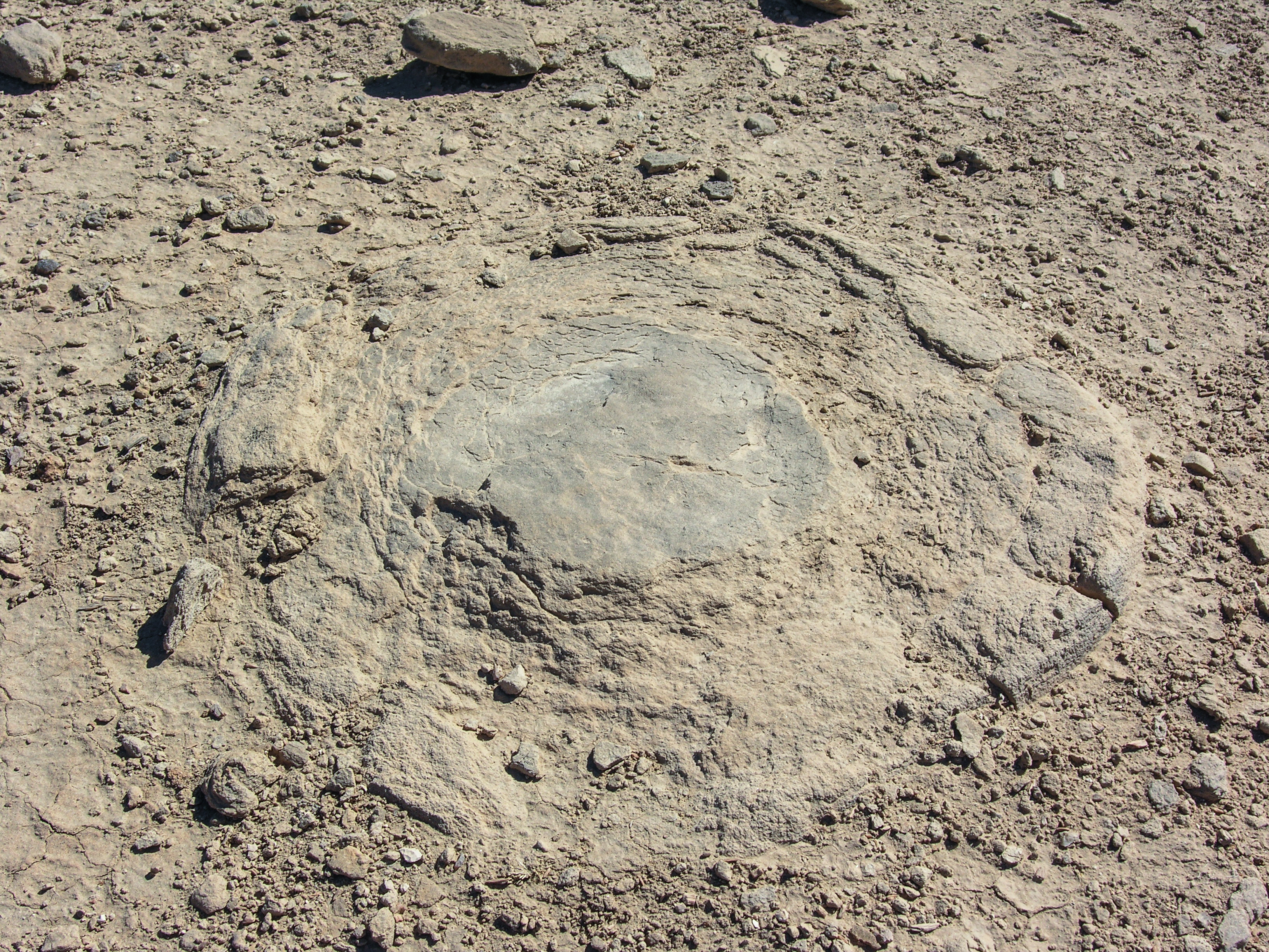
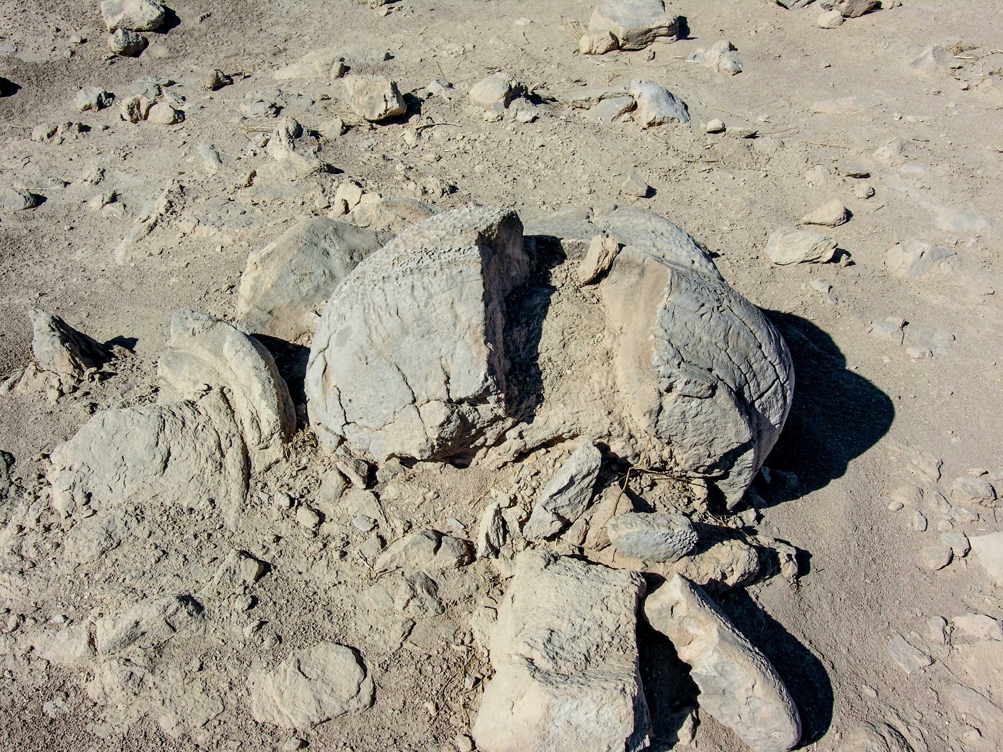
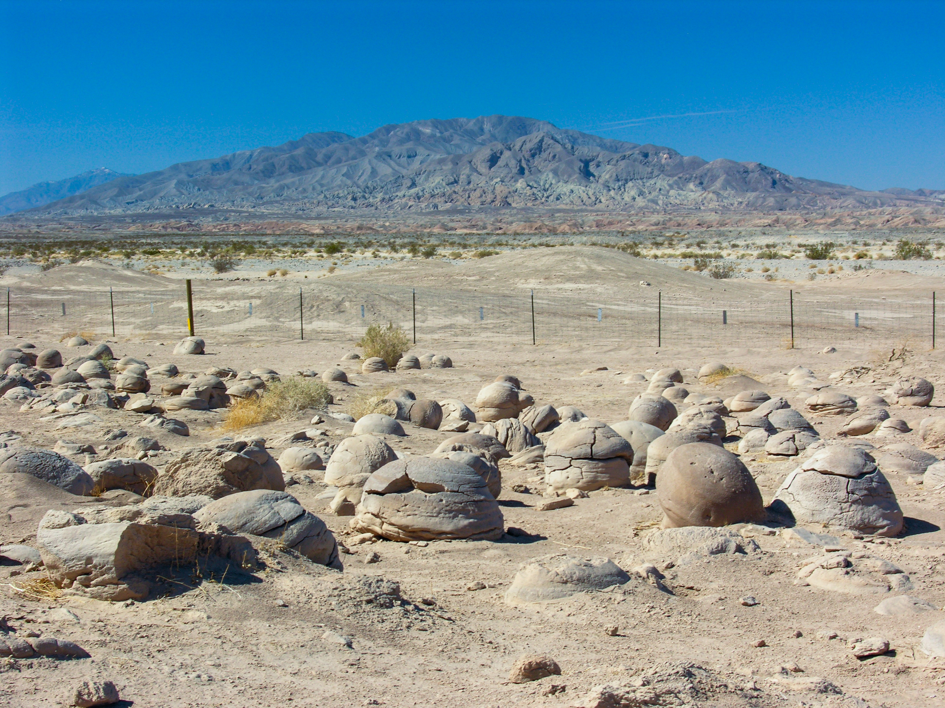
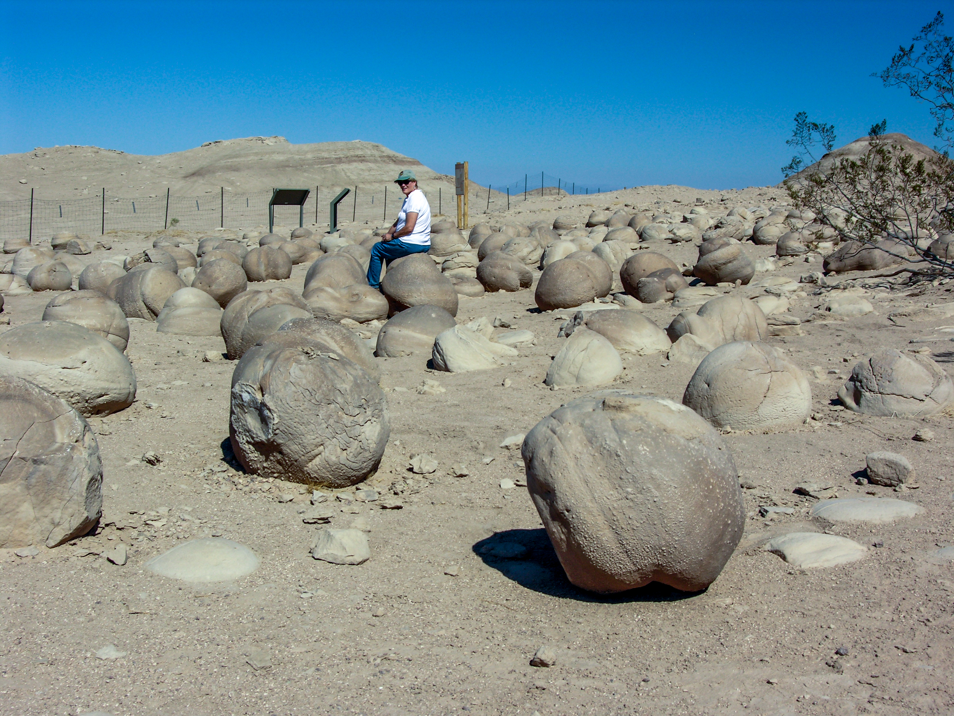
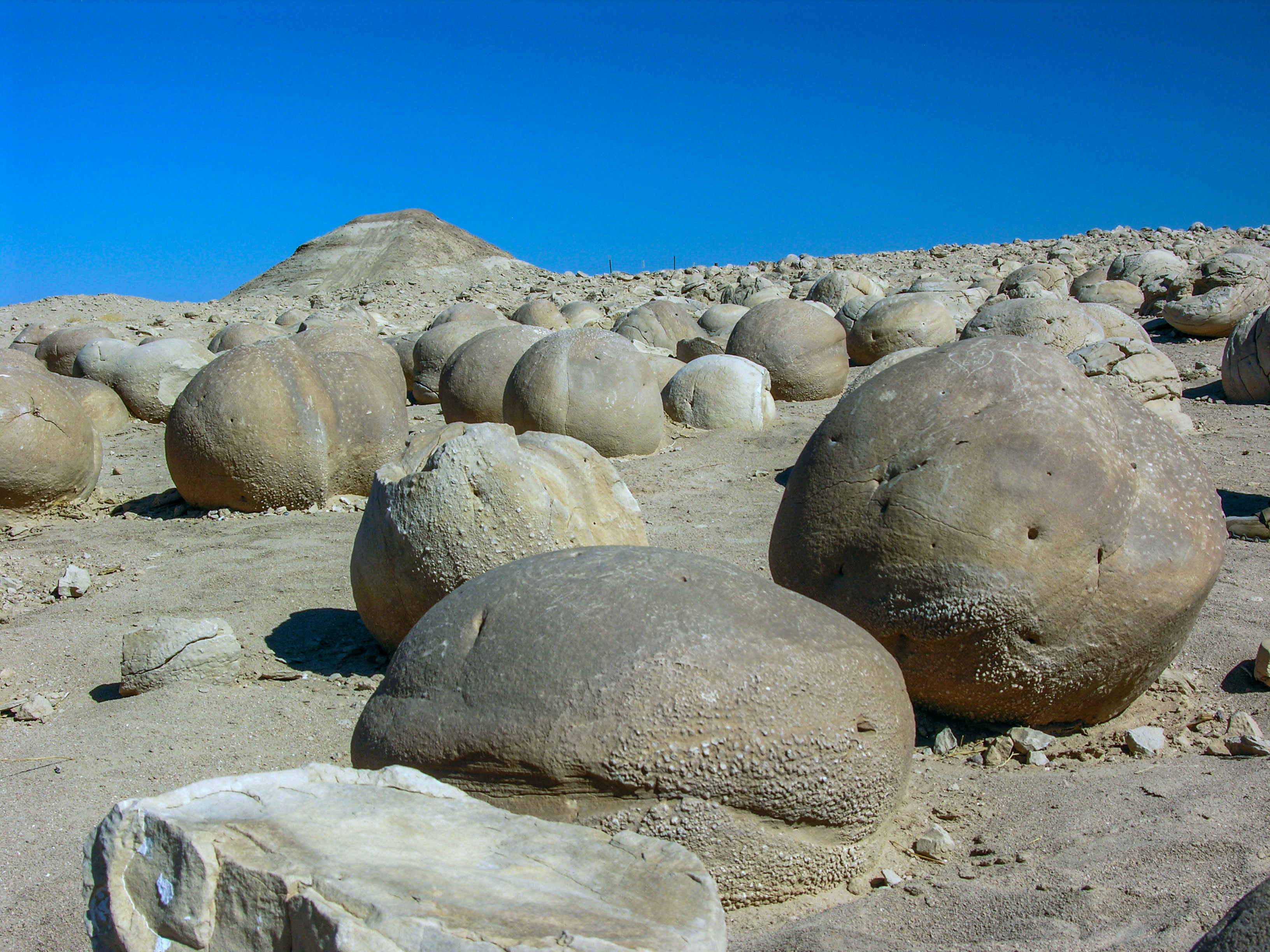
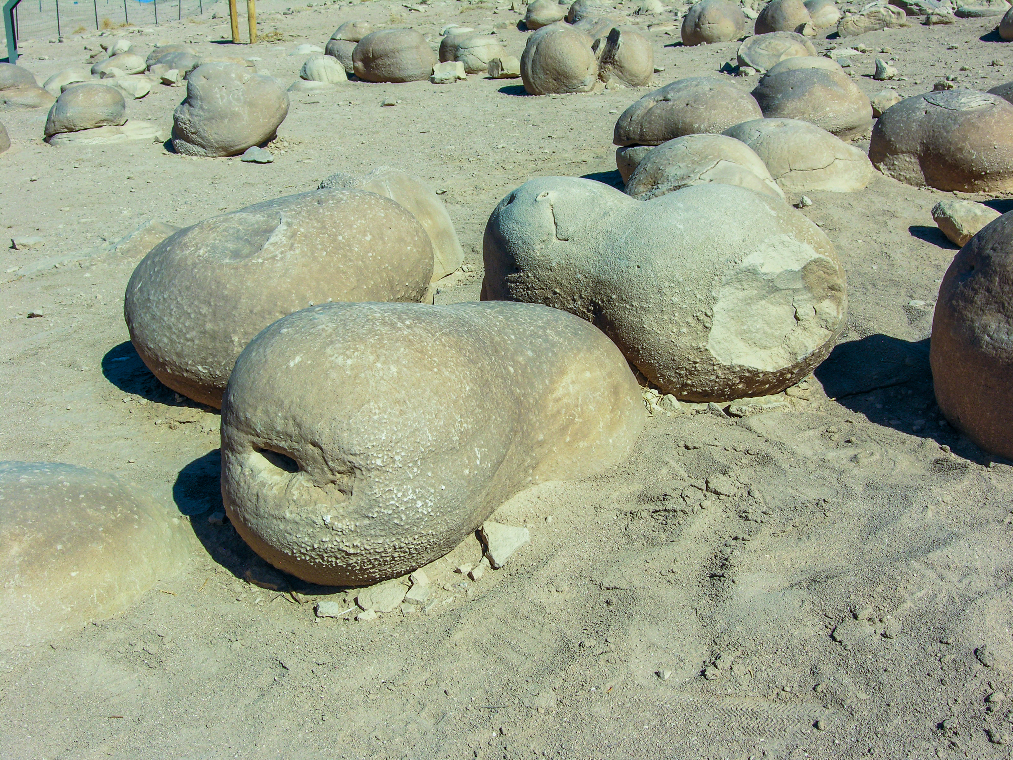
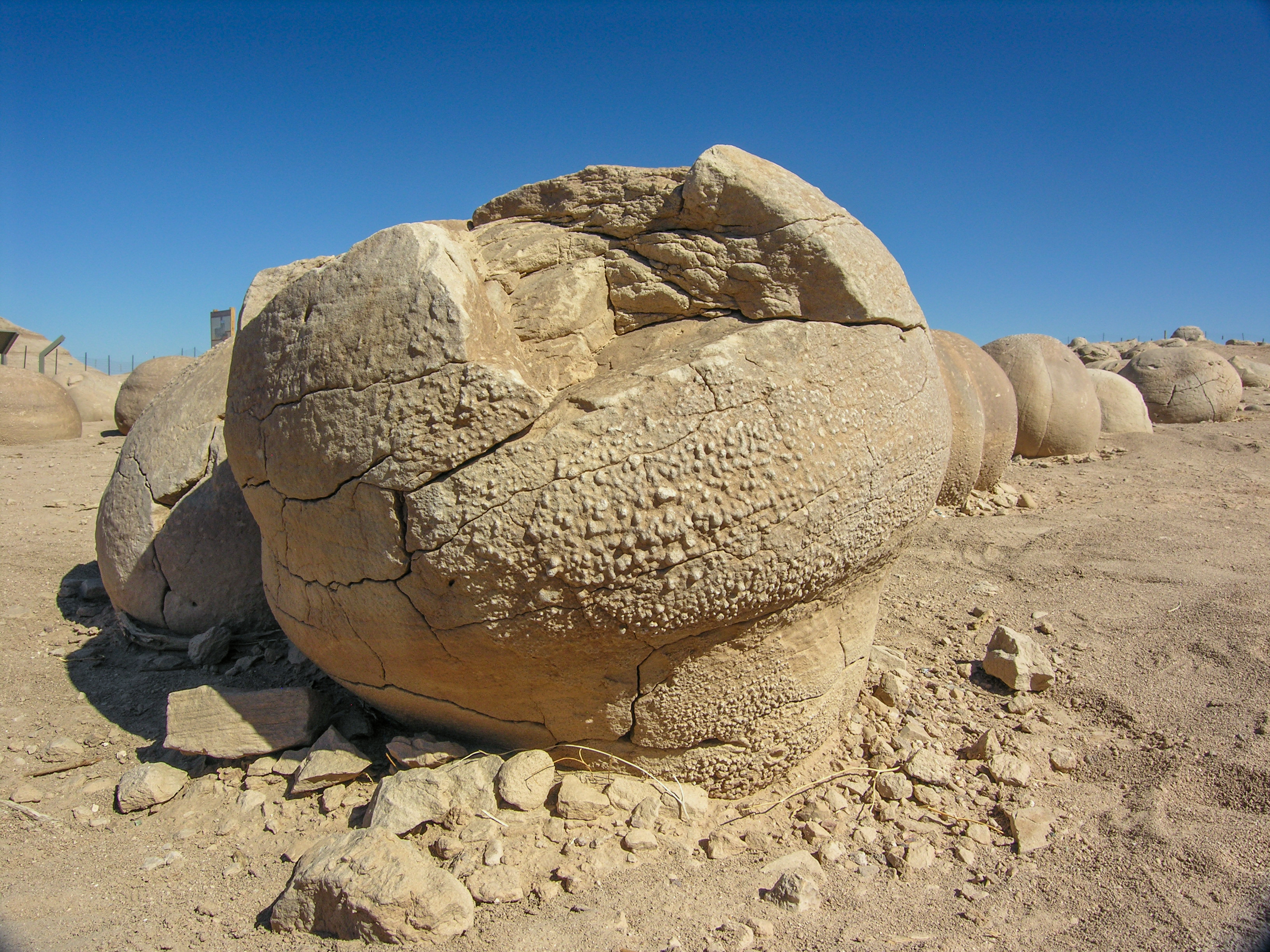
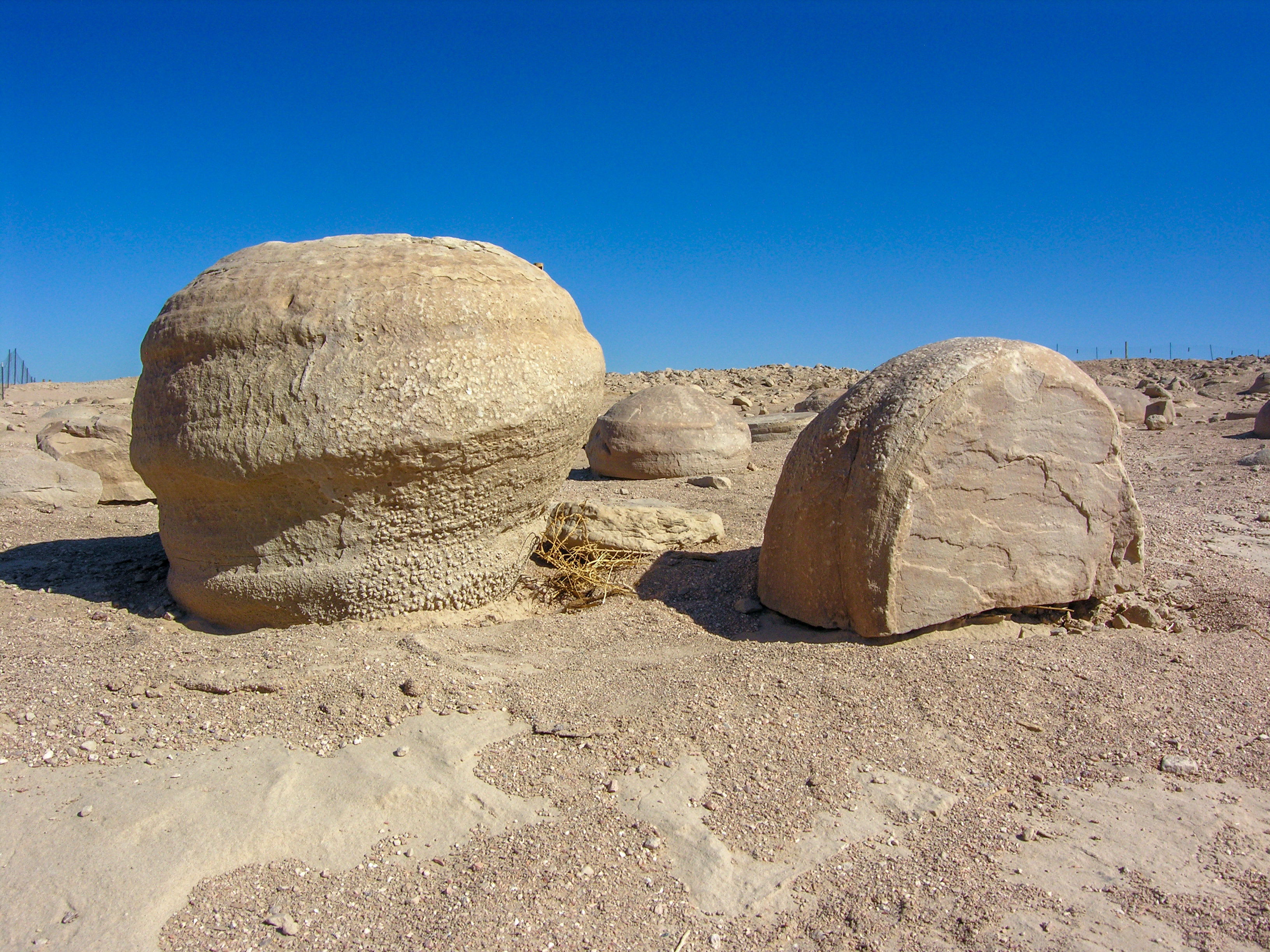
Located just east of theAnza-Borrego Desert State Park border is a collection of funny-looking boulders known as the Pumpkin Patch. These geologic oddities are found only in this small area and are definitely worth seeing.
Getting to the Pumpkin Patch is done via the Desert Oasis Road Trip.
Trip Stats
Non-subscriber Info
What’s in our Guide:
- Directions to the Pumpkin Patch
- Road conditions and what to expect
- What type of vehicle you’ll need
- Nearby attractions:
- Fonts Point
- Calcite Mine Road Trip
- Calcite Mine Slot Canyon Hike
- Seventeen Palms Oasis
- Five Palms Oasis
- Science behind how the “pumpkins” were formed
- Our unique interactive maps
- Lots of beautiful and informative pictures
Virtual Video Tour
Options available on the video player can enhance your viewing experience – learn more.
Image Gallery
Click picture to view full screen. Learn more how to use the picture gallery, along with options for mobile devices.
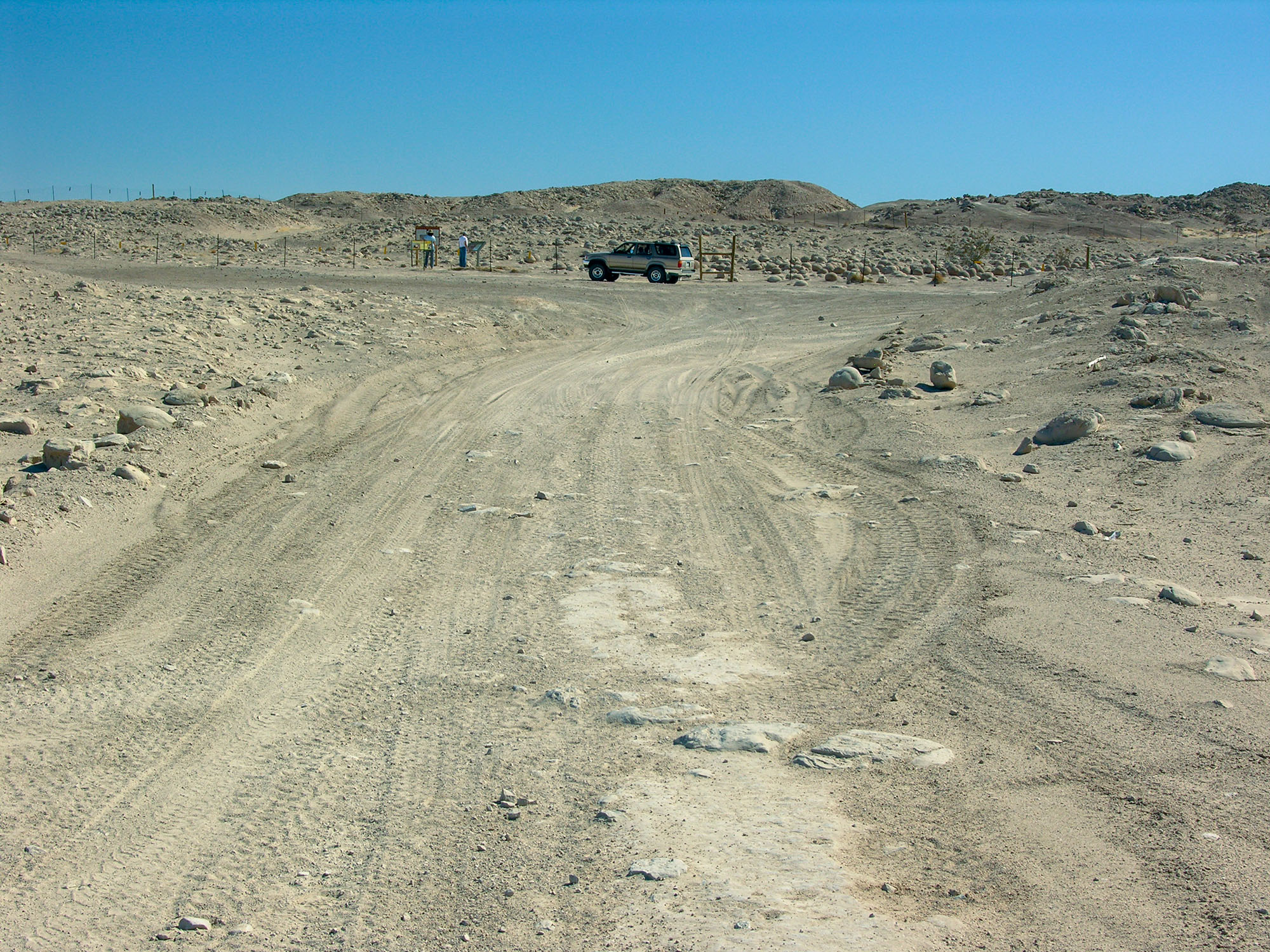
- Driving up to the Pumpkin Patch
- The patch isn't very big
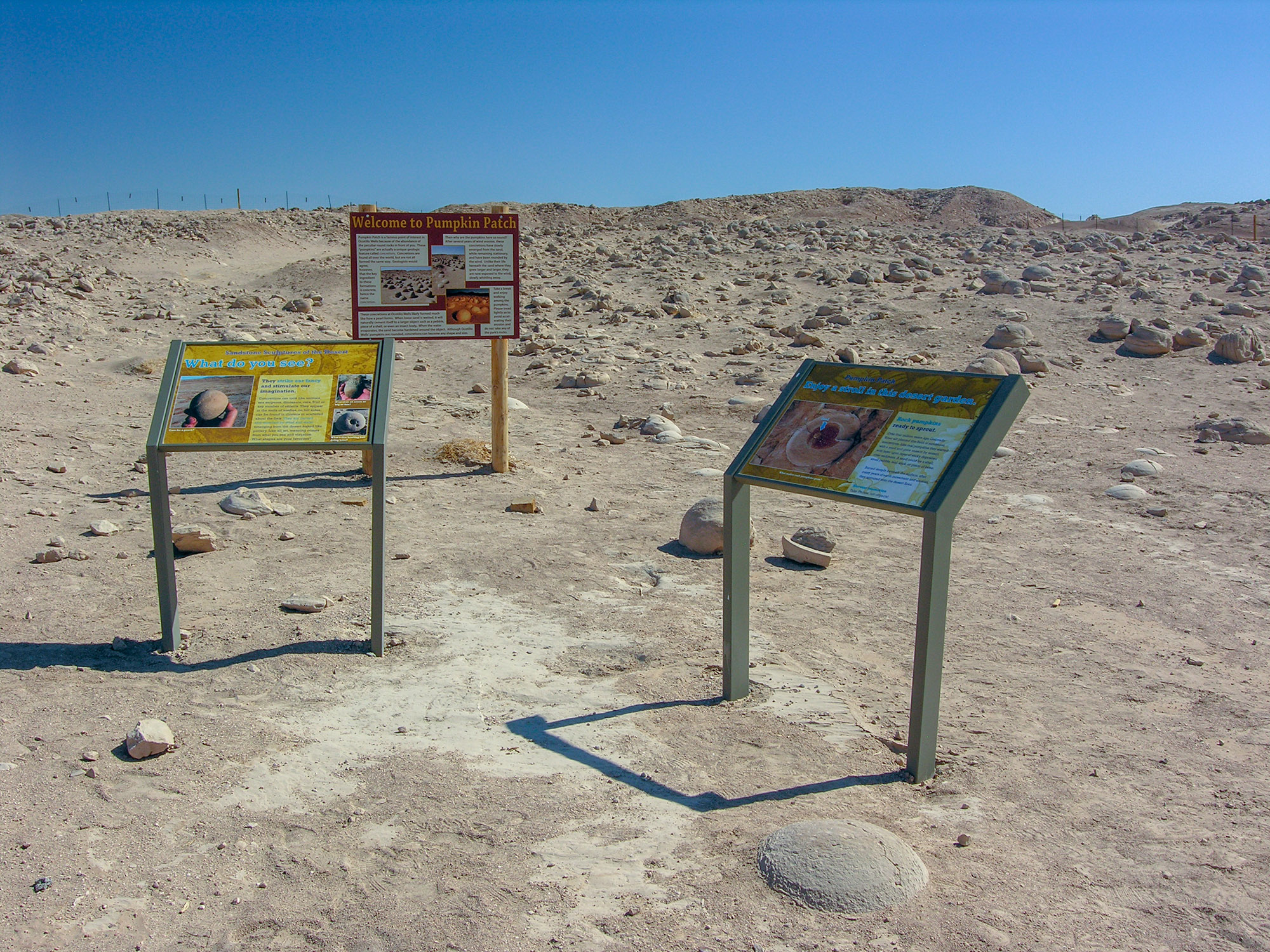
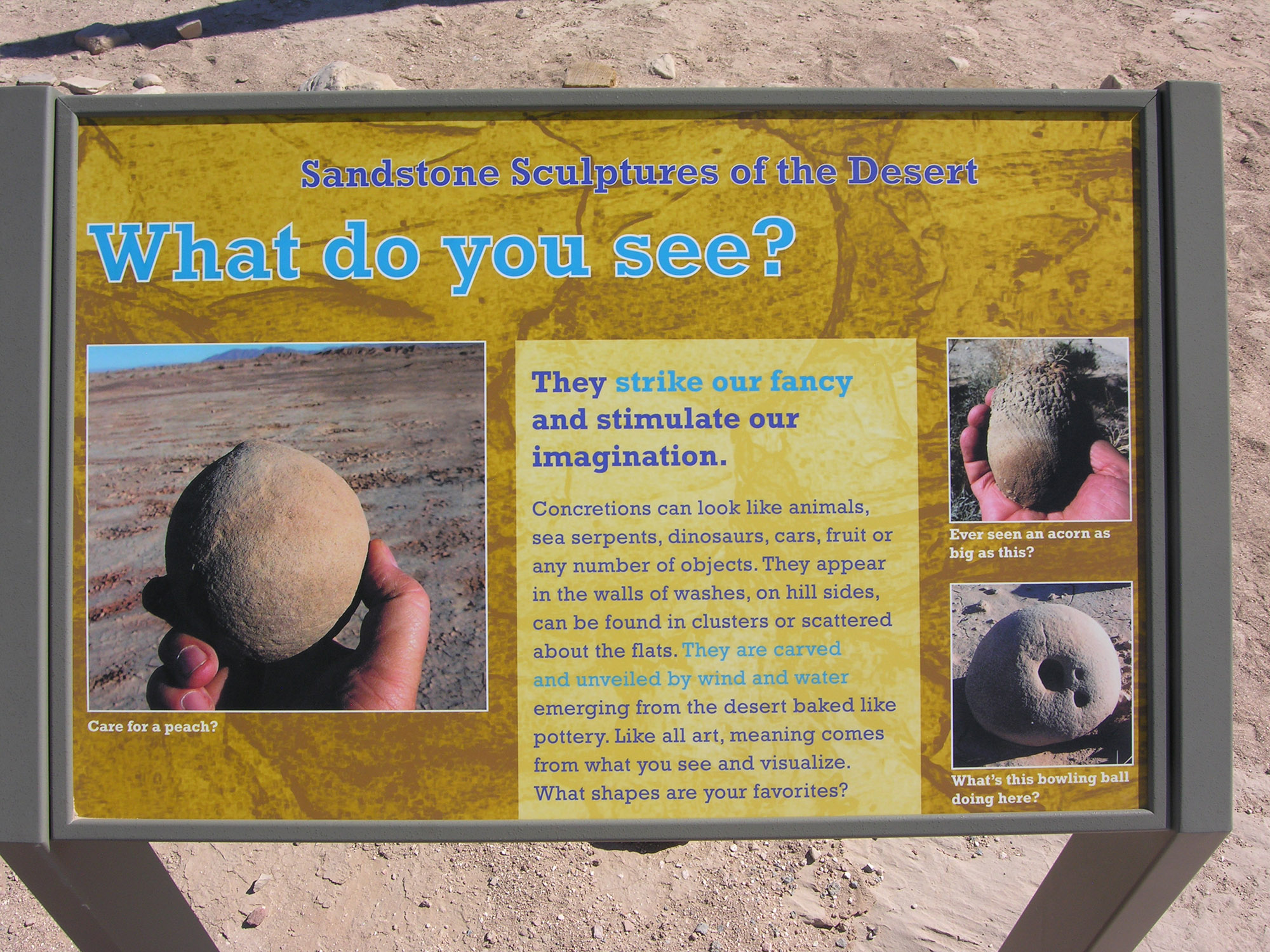
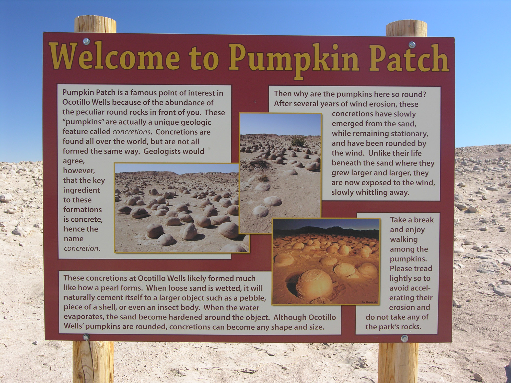
- Kiosk signs from 2013
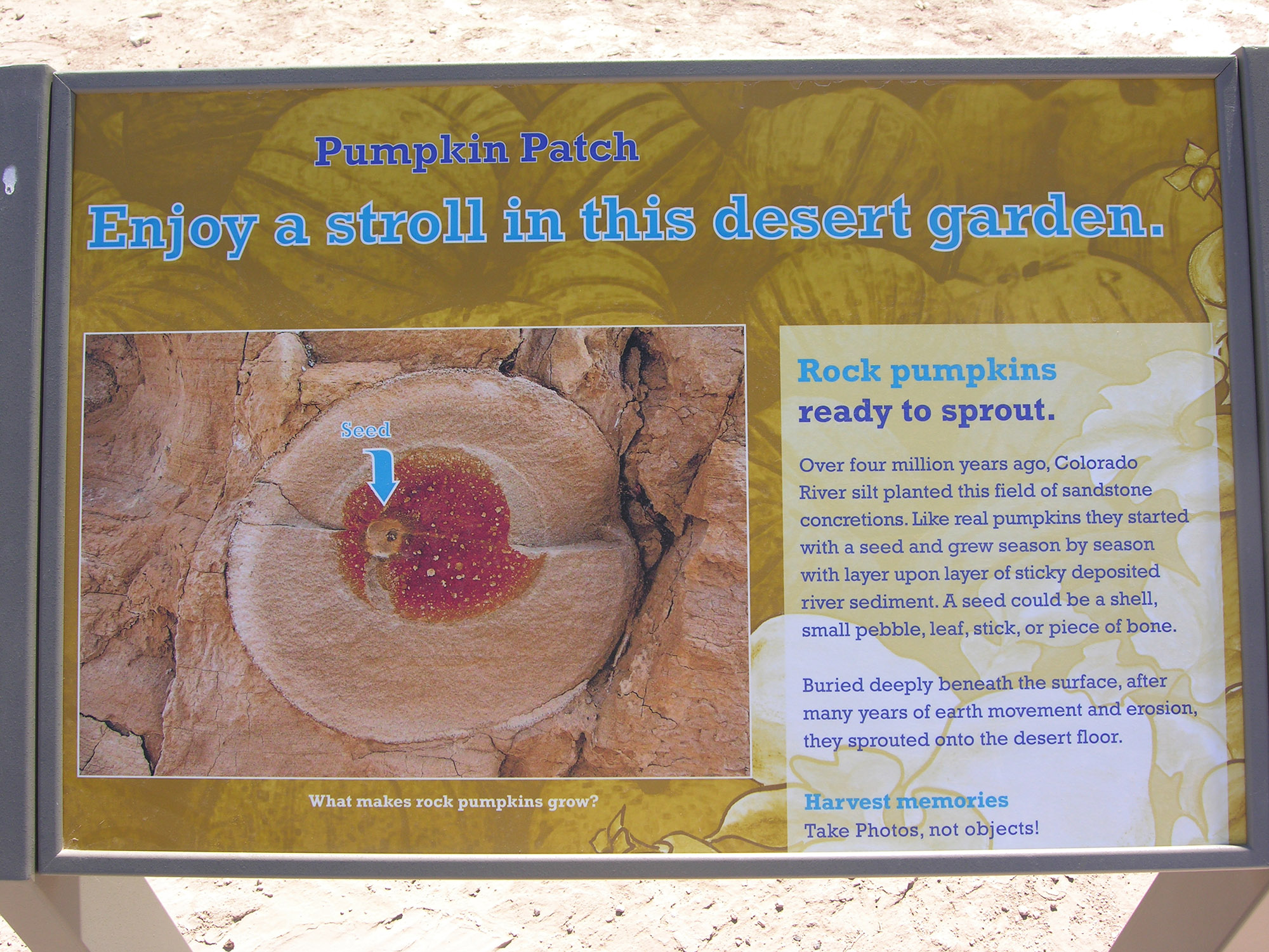
- Sign explains the geology
- Sign explains the geology
- Sign explains the geology
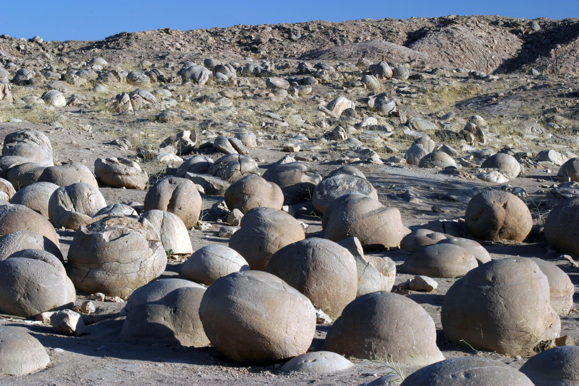
- Average boulders at the Pumpkin Patch
- Pumpkin-sized boulders
- Scale of the "pumpkins"
- Many of the pumpkins are cracked
- Looking down on the pumpkins
- Entrance to the Pumpkin Patch
- Some are eroded at the bottom from water
- The top-half of this one may have been washed away
- Some pumpkins are broken open
- Some pumpkins are perfect for sitting on!
- The Pumpkin Patch landscape
- Some pumpkins have odd shapes
- This one is slowly being weathered and cracked
- The one on the right has been cracked in half
Getting There Map
See tips on using the interactive map.
Pumpkin Patch
Entrance to the Pumpkin Patch. Zoom out map to see surroundings.
Restrooms
