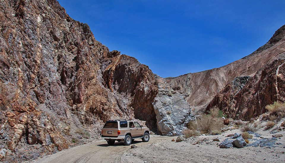
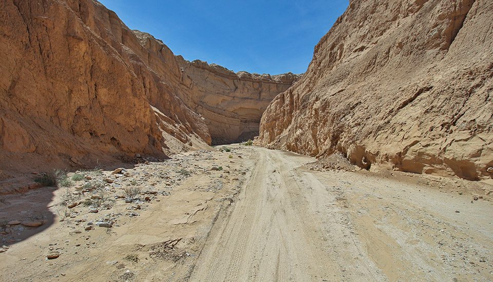
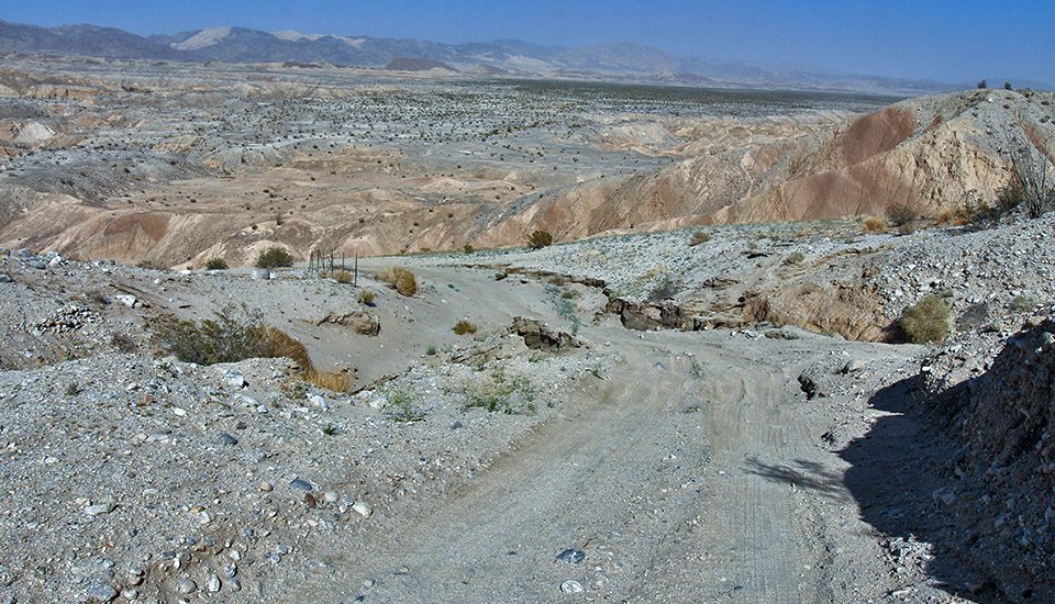
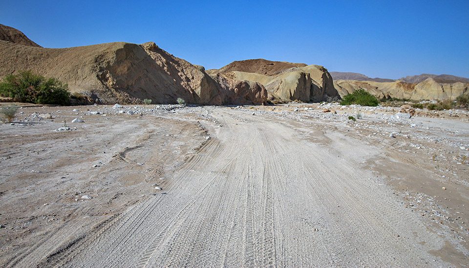
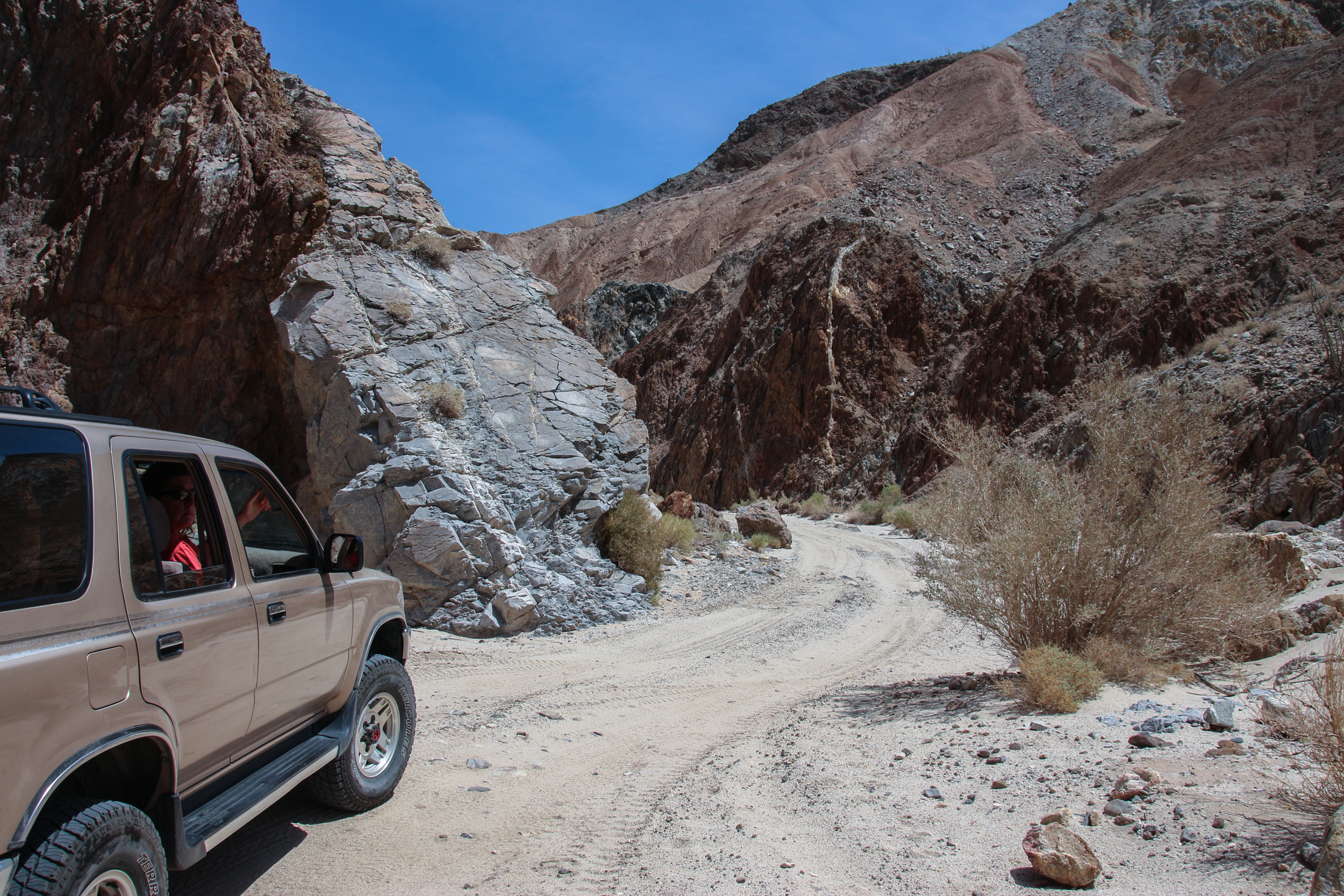
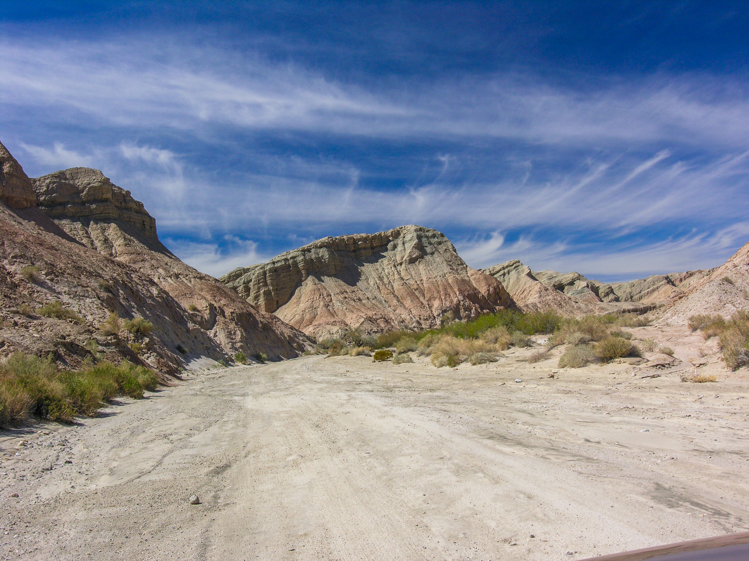
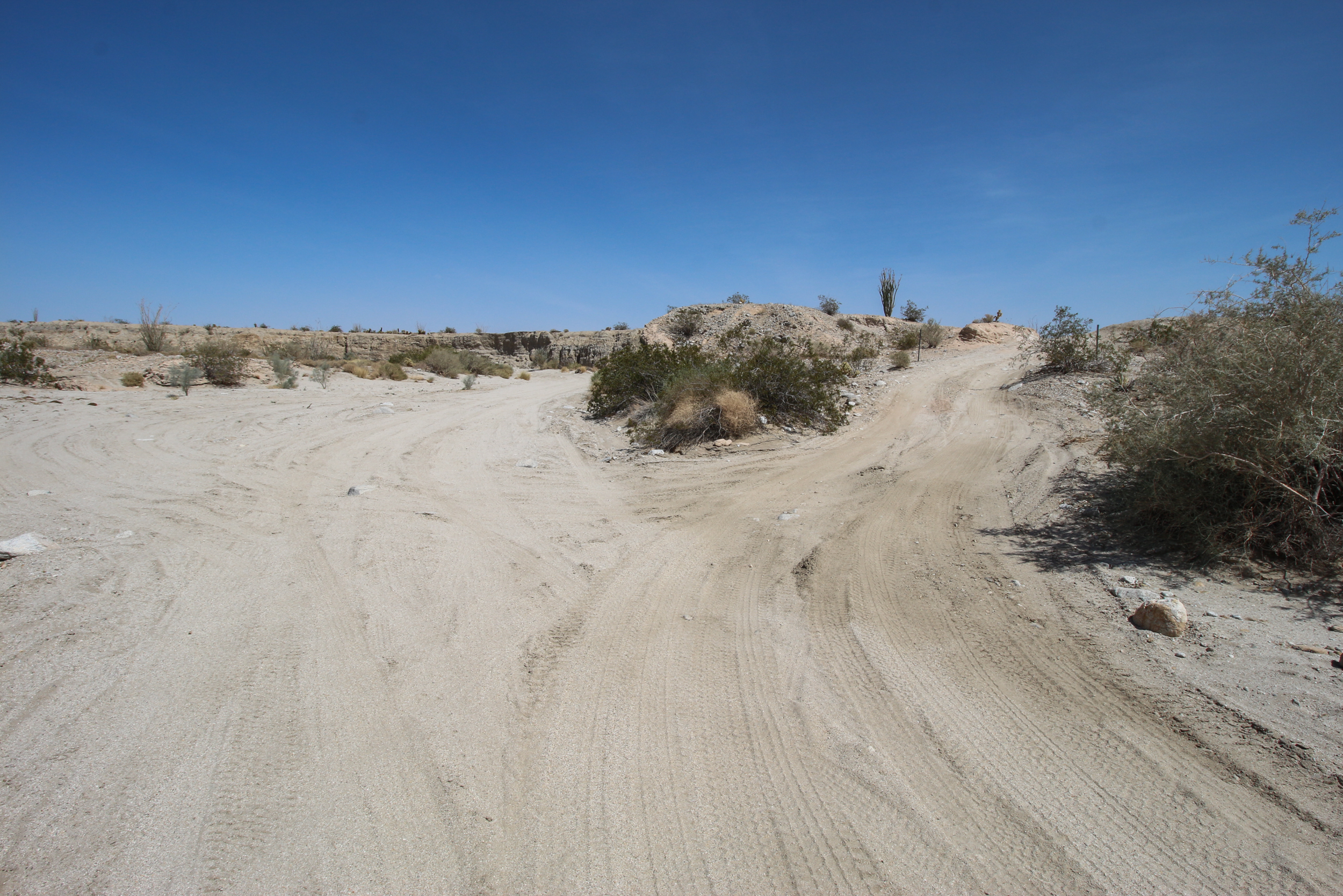
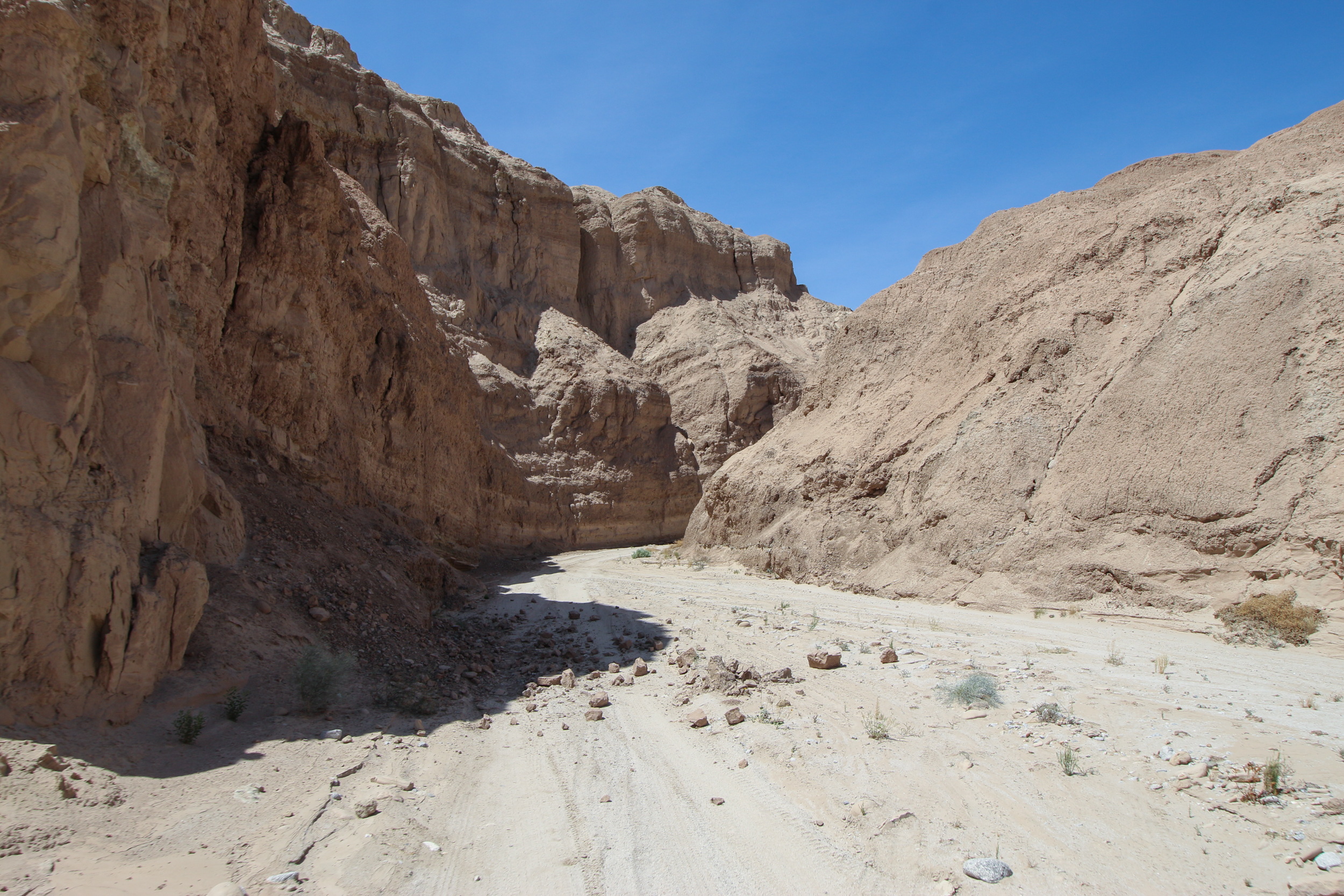
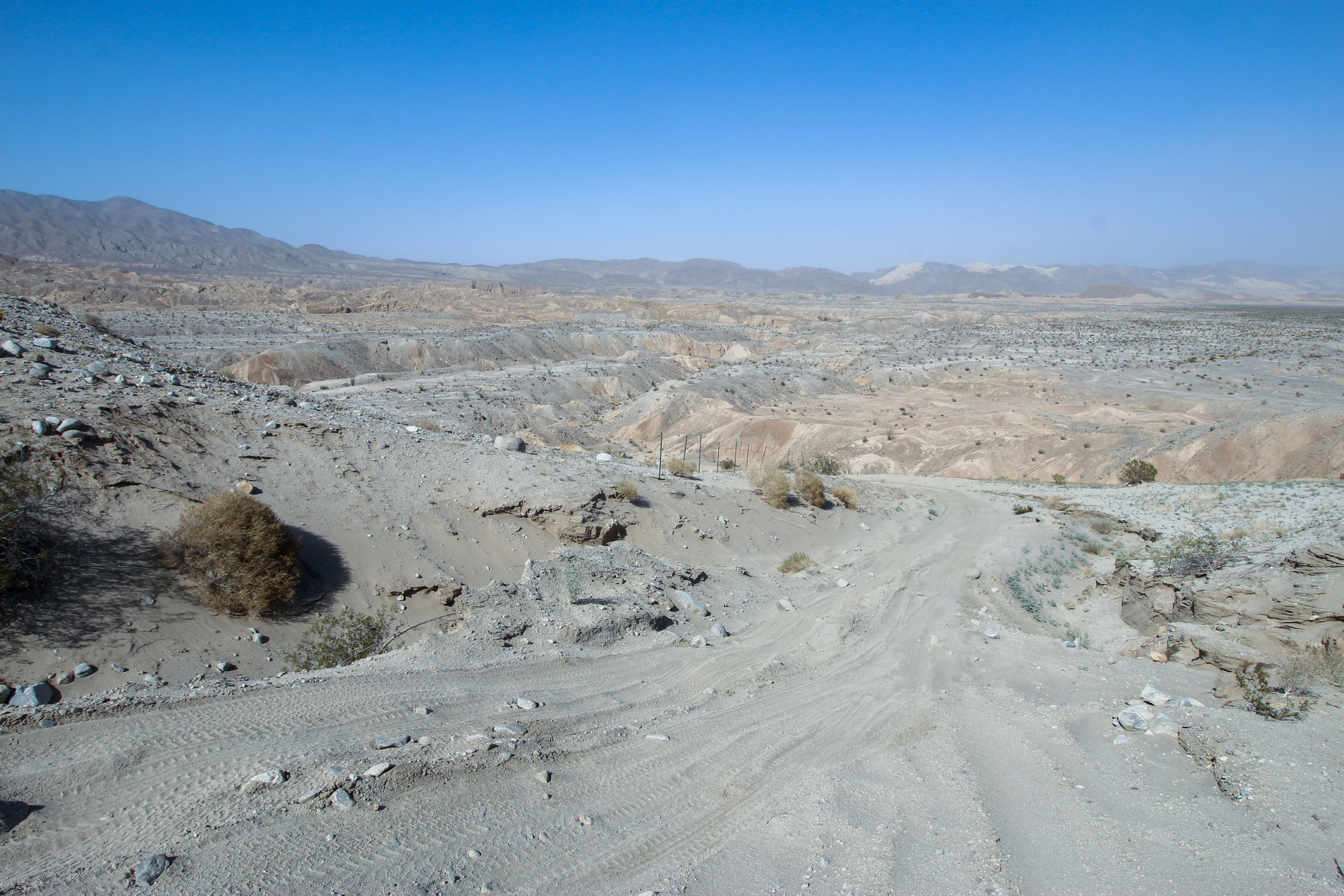
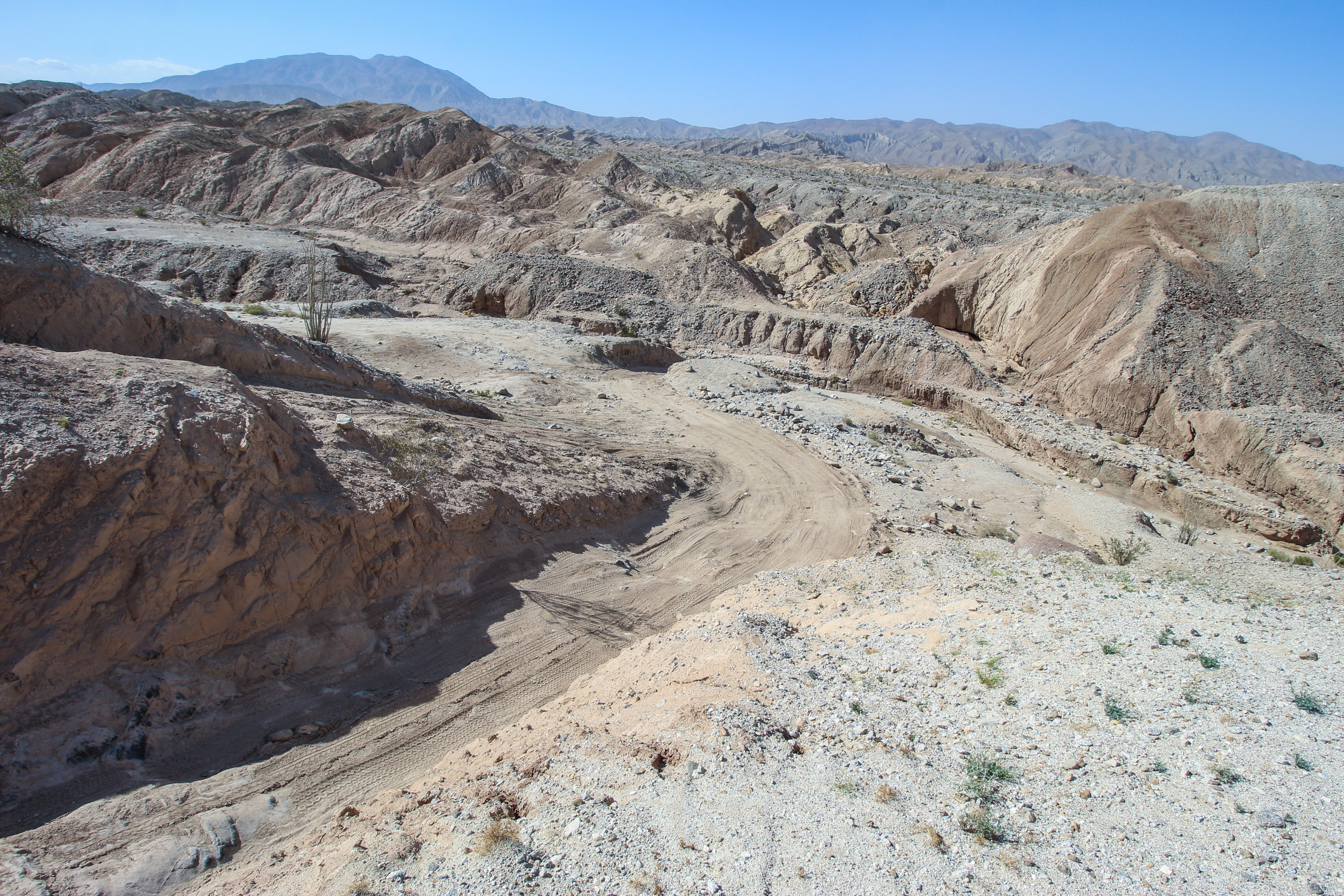
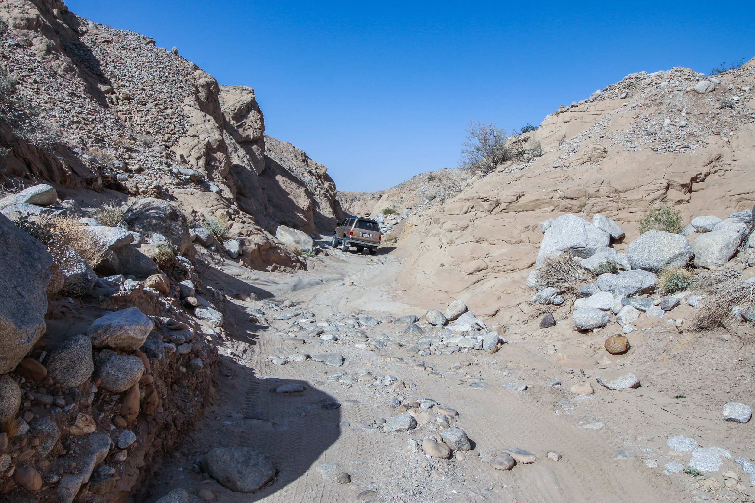
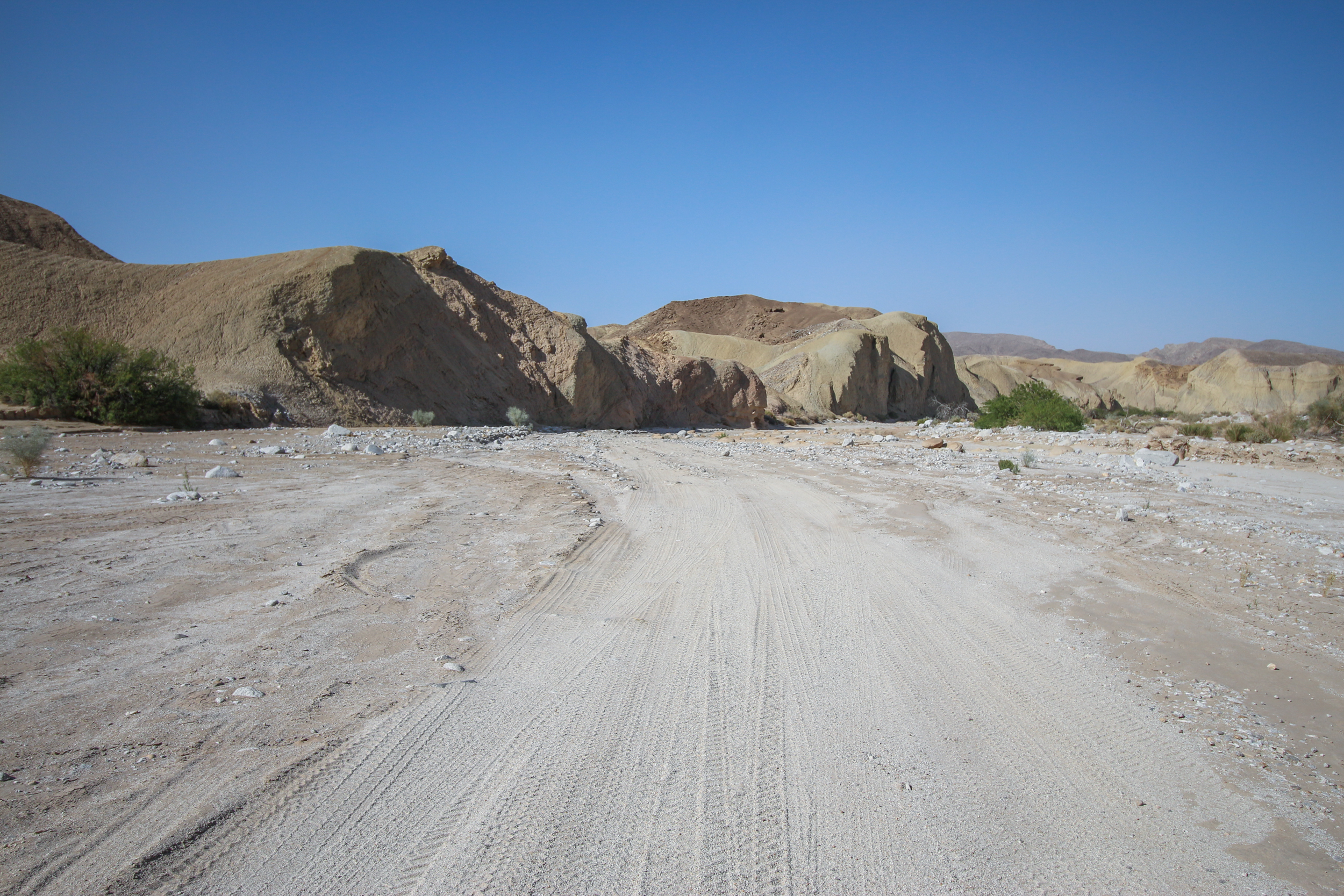
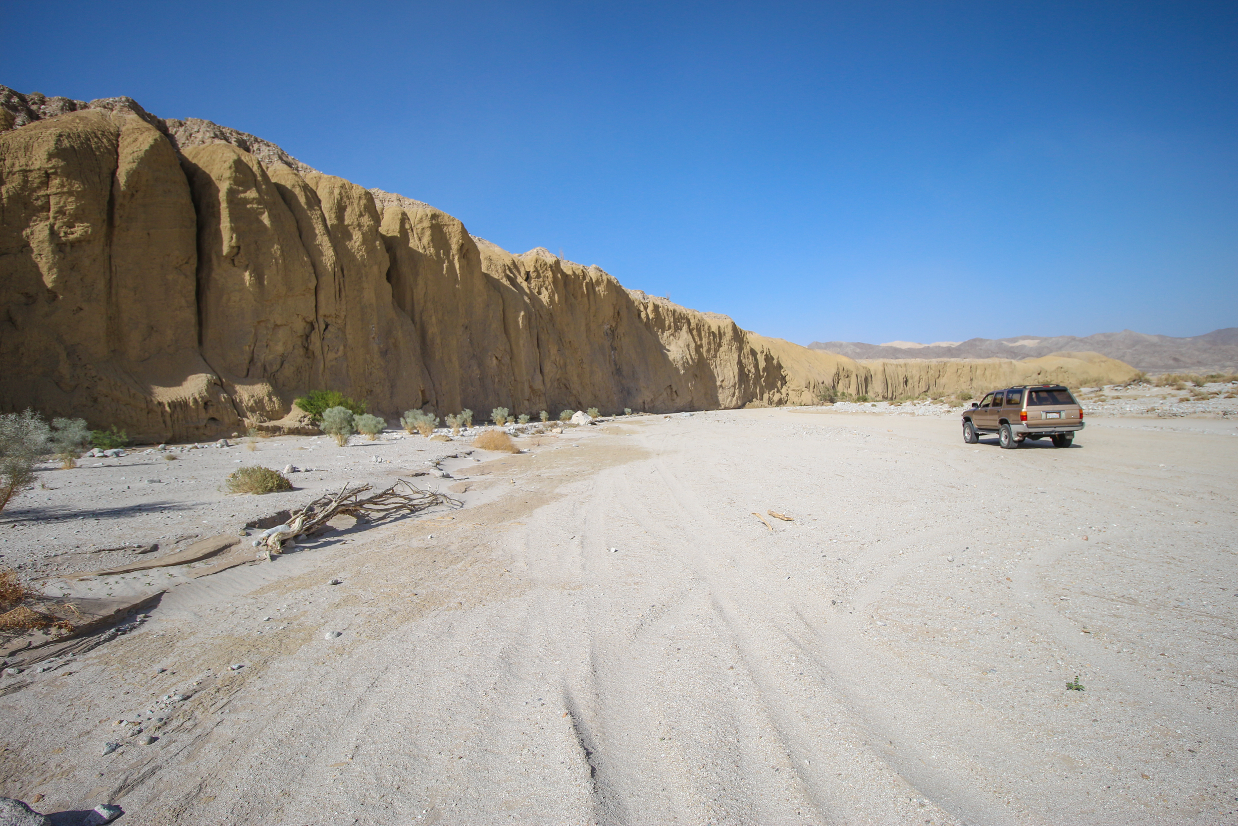
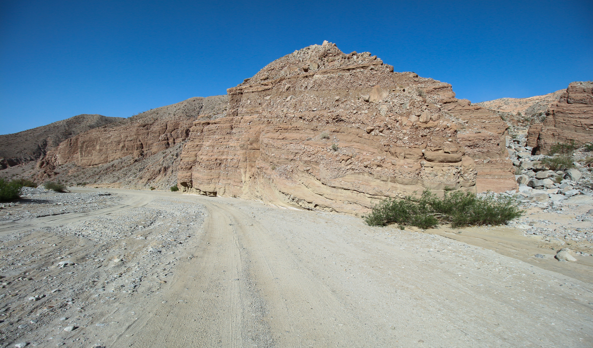
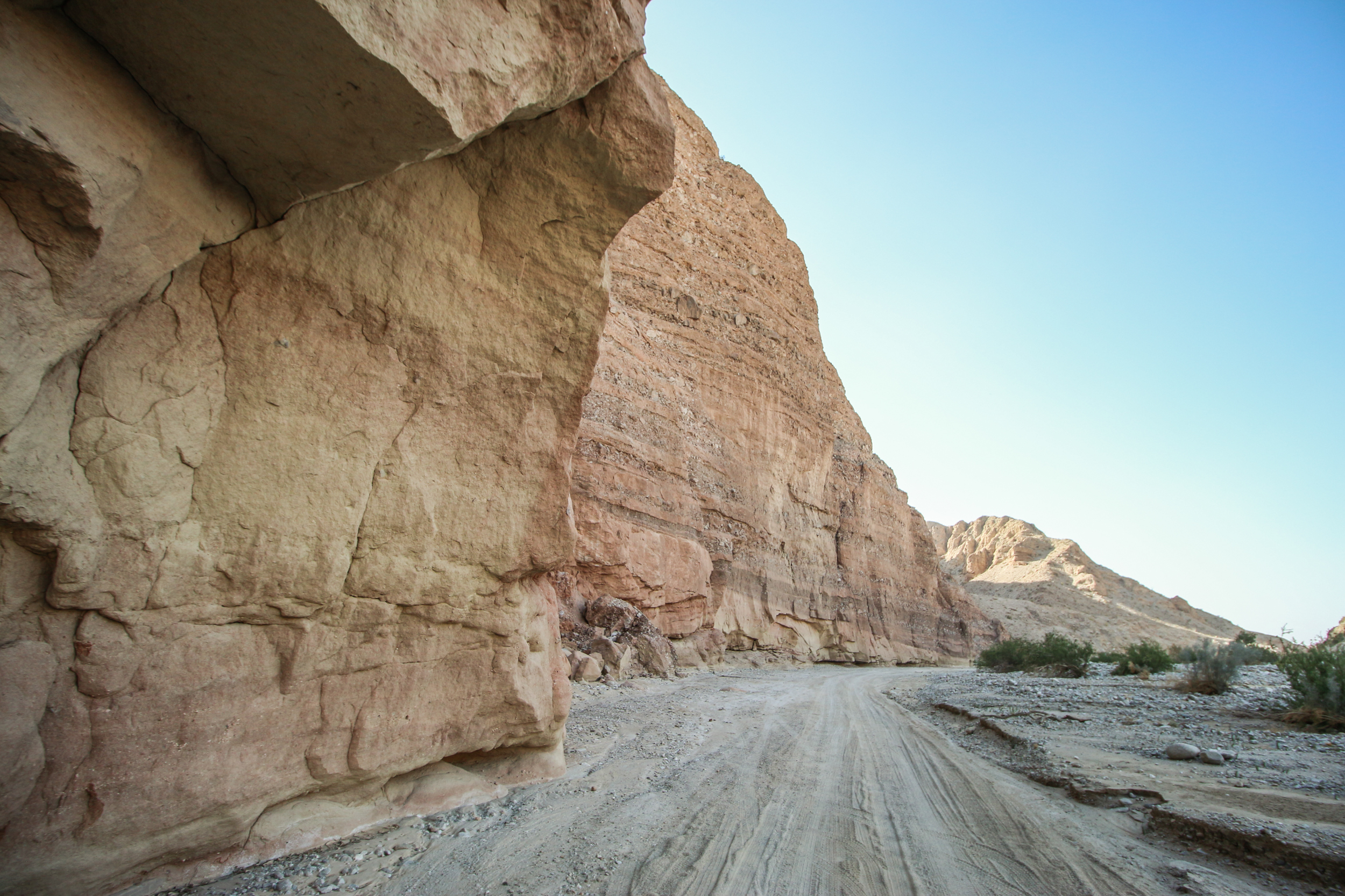
As mentioned above, accessing the Fish Creek Area can be done in several ways. Route #1, the route we took, starts from Hwy S2 and ends on Split Mountain Road. It also includes all of the sights listed in What To See. All three routes require high-clearance, 4WD vehicles and good off-highway driving skills.
When traveling any of these routes, keep your eyes open for the short little brown signs that the park staff has installed to label some of the roads. They are a little hard to see and sometimes they aren’t there at all but they are very helpful because there are lots of canyons to choose from when traveling in this area.
Before traveling on any of the roads in this area, if possible, either visit or call the Park’s Visitor Center in Borrego Springs to inquire on the conditions of the roads you decide to take. Often, recent storms will sometimes block roads with rock slides or washouts. It would be unfortunate if you travel these long distances, only to find out that a key road is not passable, and you would have to return the way you came. An even worse scenario would be if you took one of the “drop-off” routes, then found the road beyond is blocked. It would then be very difficult to return and go “up” one of the “drop-offs”.
Route #1
This is the route we recommend because it includes all of the sights in the area (What To See) but be aware that you will need to navigate through the Diablo Drop-off. This is a short, steep, sandy drop-off located about half way through the dirt road portion of this Road Trip and is where you’ll need a good 4WD vehicle as well as good driving skills.
From Christmas Circle, reset your odometer and head south on Hwy S3 (Borrego Springs Rd). The road will slowly turn to the east and pass by several of the Galleta Meadows sculptures. At 5.1 miles, Hwy S3 makes a slight right onto Yaqui Pass Rd.
Continue on Hwy S3 over Yaqui Pass and at 12.1 miles you are at the junction with Hwy 78. Turn right (west) and at 19.1 miles you are at Scissors Crossing (junction of Hwy 78 and Hwy S2).
Turn left onto Hwy S2 (also known as Great Southern Overland Stage Route or Sweeny Pass on some maps). From Hwy S2, there are two options when it comes to leaving the pavement and beginning the off-road part of this route.
The first option is to take the Great Southern Overland Stage Route Road which is 29.4 miles from Scissors Crossing. This is the route we describe here and is a shorter distance than the second option.
The second option is to take Canyon Sin Nombre Road which is 34.4 miles from Scissors Crossing. This is a slightly longer but more scenic way. See the Canyon Sin Nombre chapter for more information.
From Hwy S2, turn left onto Great Southern Overland Stage Route Road and reset your odometer. This road goes fairly straight for a couple of miles and is somewhat paved until it turns to sand as you travel in the Carrizo Creek. At 4.4 miles, you’ll reach the junction of 3 roads: the one you’re on, Canyon Sin Ombre Road and Vallecito Creek Road.
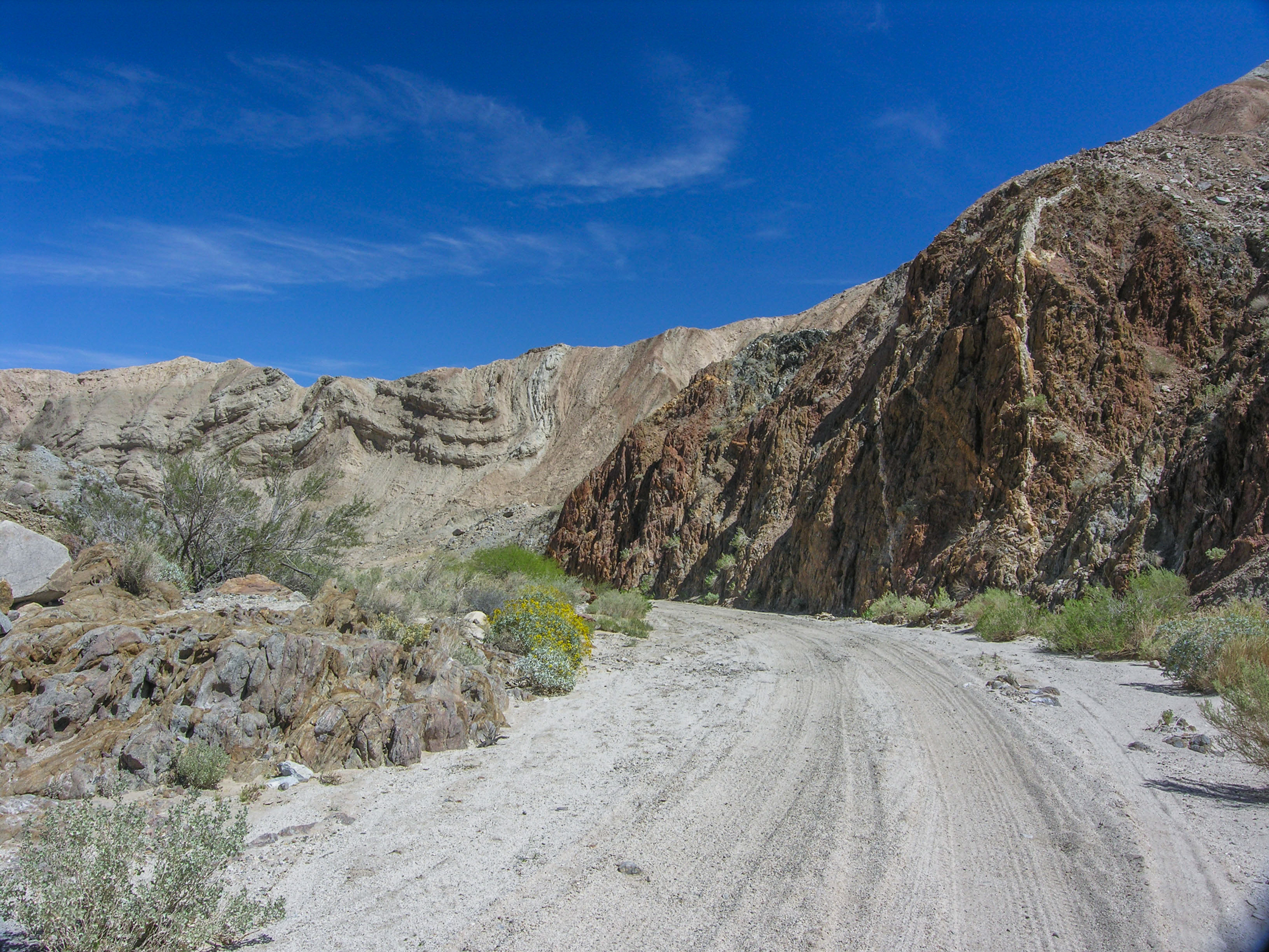
From this 3-way road intersection, turn left (northwest) onto Vallecito Creek Road and reset your odometer. Go 1 mile, then bear right onto Arroyo Seco Del Diablo Road and reset your odometer again. Continue on this road for about 6 miles as it meanders through a typical canyon in the badlands.
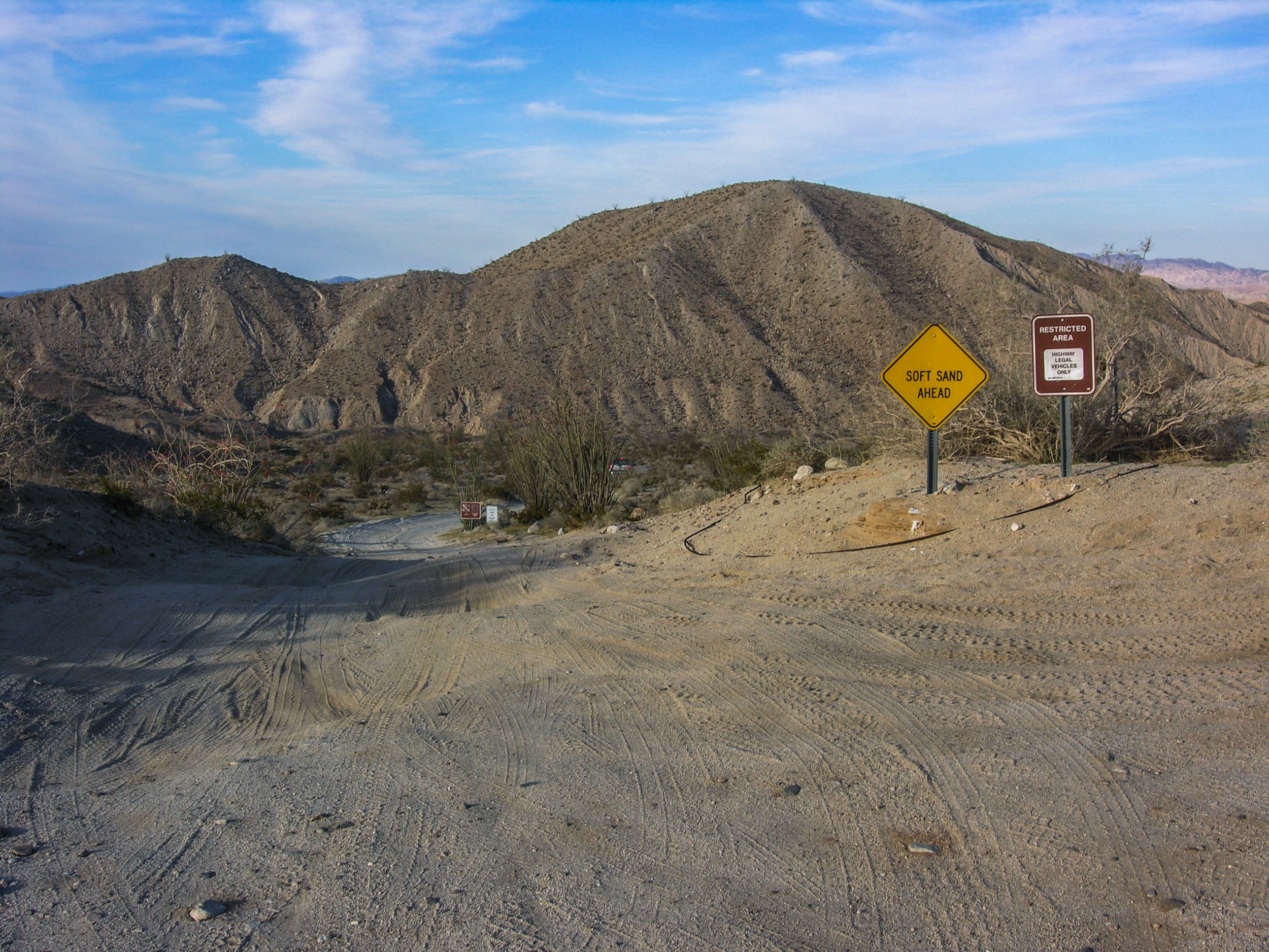
At the 6-mile mark, look for the turnoff to the Diablo Drop-off on the right. Reset your odometer again and take this road as it heads off through open desert. At 1.7 miles, you have arrived at the dreaded Diablo Drop-off and the only one-way section of the road. This steep, sandy drop-off descends at an almost 45 degree angle as it loses about 80-100 feet in elevation in a very short distance. Once you’re here, you’ll understand why it is designated a one-way section in this direction only. You will need good 4WD skills to navigate it.
After negotiating the drop-off, it is another 0.6 mile to Fish Creek Wash. At this junction, you can continue your route by turning right, resetting your odometer again and continue heading east towards Split Mountain. Turning left here will take you to the side trips of Sandstone Canyon and the Mud Palisades of Olla Wash.
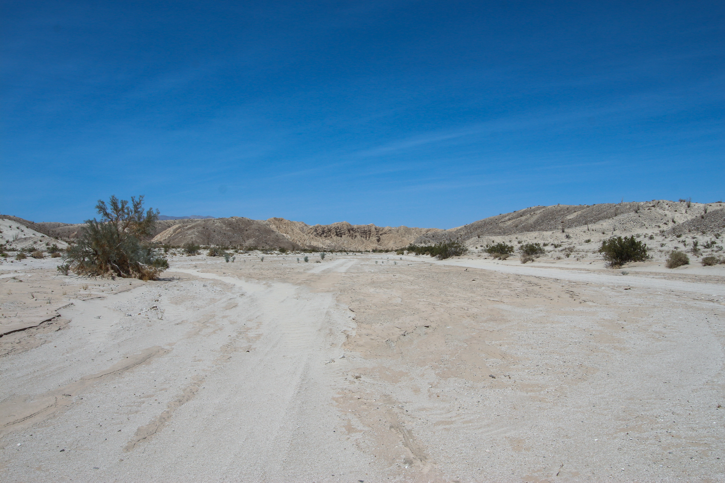
From the junction of Diablo Drop-off and Fish Creek Wash, it is 5.2 miles to the Wind Caves trailhead. When you’re done at the Wind Caves, continue your route through Split Mountain and at 9.3 miles you’ll reach the pavement of Split Mountain Road. Once on the pavement, Hwy 78 and the small town of Ocotillo Wells are another 8.1 miles.
Route #2
This is an alternate route for those who may not have the time, vehicle or driving skills to do Route #1. Taking on the Diablo Drop-off is not for everyone. With a high clearance, 4WD vehicle, this route will take you to all but the first three sights listed in What To See. You are traveling part of Route #1 but in reverse – from east to west.
If you want to see those first three sights, simply follow the directions in Route #1 until you get to the turn off for the Diablo Drop-off. Turn around here and retrace your route back to the pavement of Hwy 2. Making two trips to this area is not the most efficient way to see it but you will avoid the Diablo Drop-off and still will be able to see all of the sights that Route #1 offers.
To start this route, go to Split Mountain and follow the Getting There directions. Reset your odometer as you leave the pavement and continue in Fish Creek Wash for 12.7 miles to the turn off for Sandstone Canyon. Go to the Split Mountain and Mud Palisades of Olla Wash chapters for further directions. When you have finished looking around, simply reverse your route back to the pavement of Split Mountain Road.
Route #3
This route passes through two potentially difficult off-road challenges. The first is “The Squeeze” which is a very narrow passage through two rocky outcroppings that drops 3-4 feet vertically down a series of rocky steps. The second is the one-way Pinyon Drop-off which is similar to the Diablo Drop-off mentioned in Route #1. It is steep, sandy and treacherous.
Following this route will bypass Canyon Sin Nombre, the Mud Caves of Anza-Borrego or other sites along Hwy S2, meaning that once you pass The Squeeze and the Pinyon Drop-off, you can’t go back and visit those sites. If you’d like to incorporate these sites, then follow route #2.
From Scissors Crossing (junction of Hwy 78 and Hwy S2), go south for 4.3 miles and turn left (east) onto Pinyon Mountain Road. In about 7.5 or 8 miles, you will come upon “The Squeeze” and right after that, the Pinyon Drop-off. Before proceeding, we highly recommend that you get out and assess this section of the road before continuing. The Drop-off looked a little too risky for us (very steep with deep ruts and very narrow) so we decided to turn around and not attempt it.
If you decide to go forward, consult your maps. You’ll see that this route does connect to Fish Creek Wash and many of the sights listed in What To See.
