Cactus Loop Trail
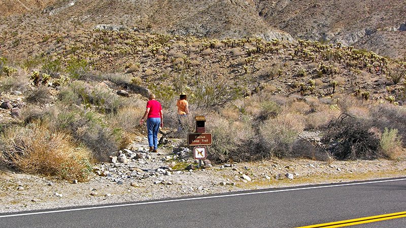
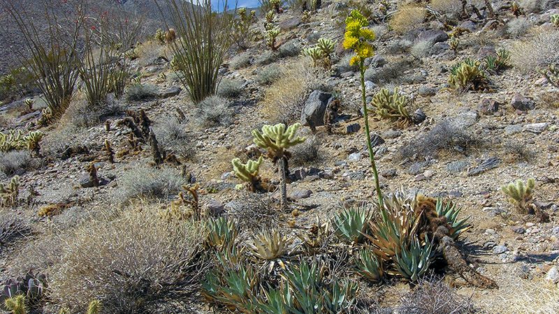
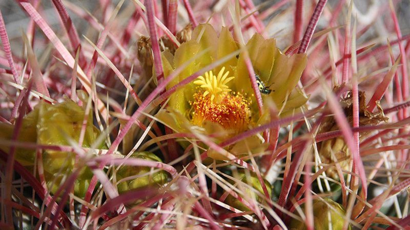
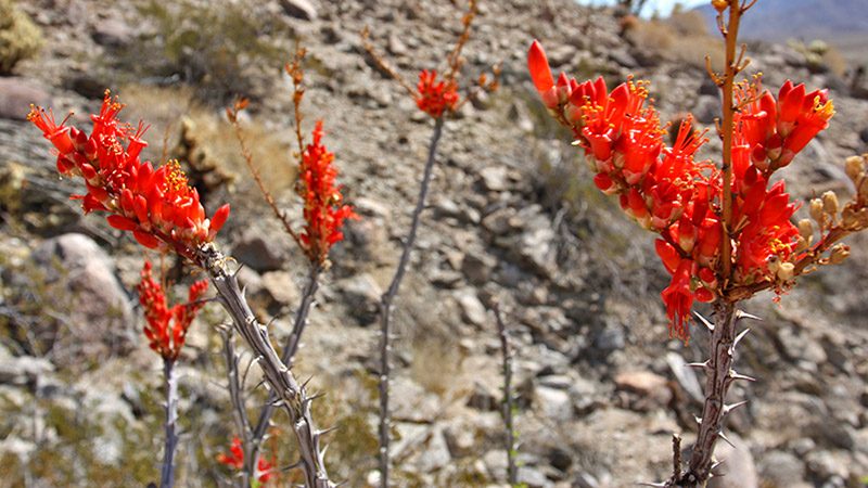
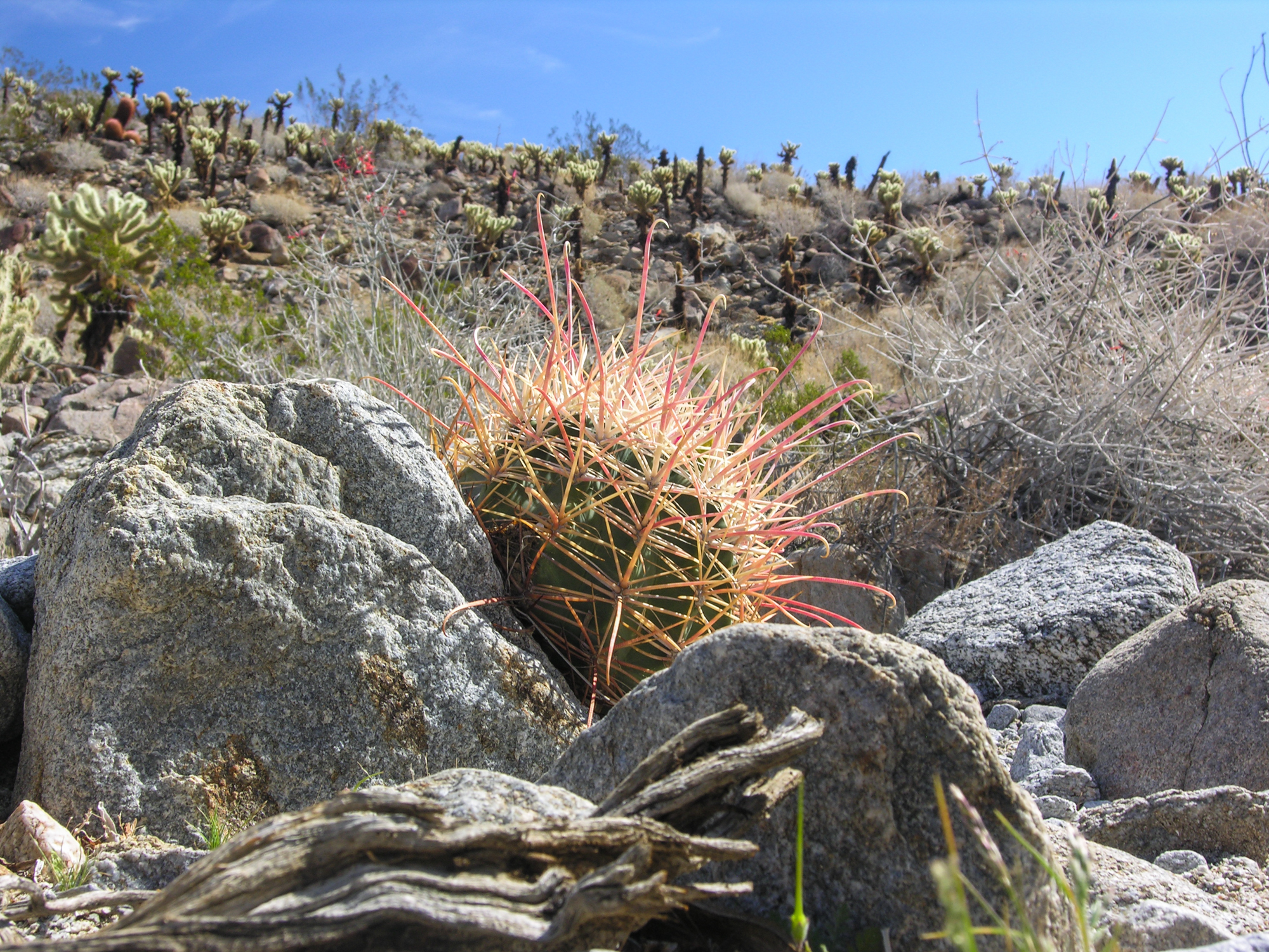
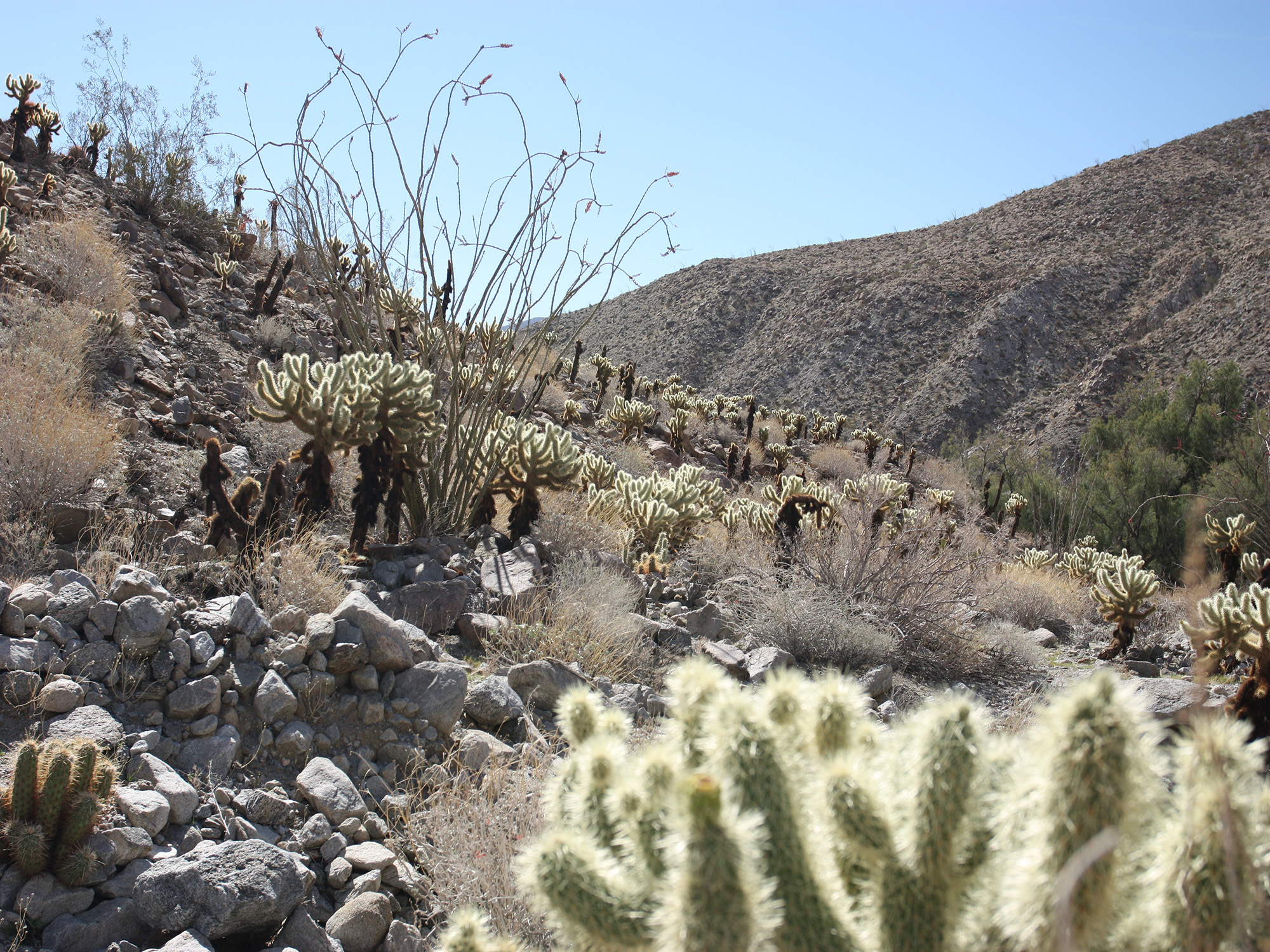
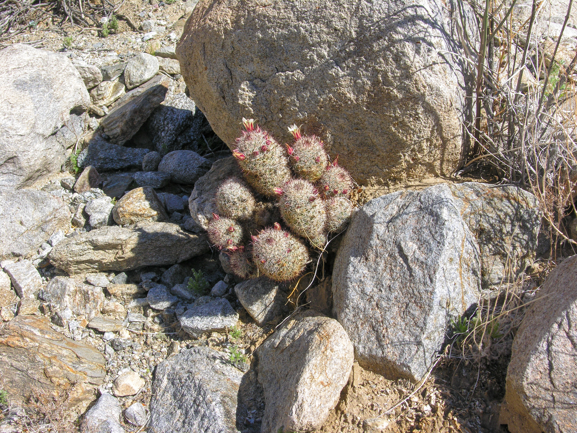
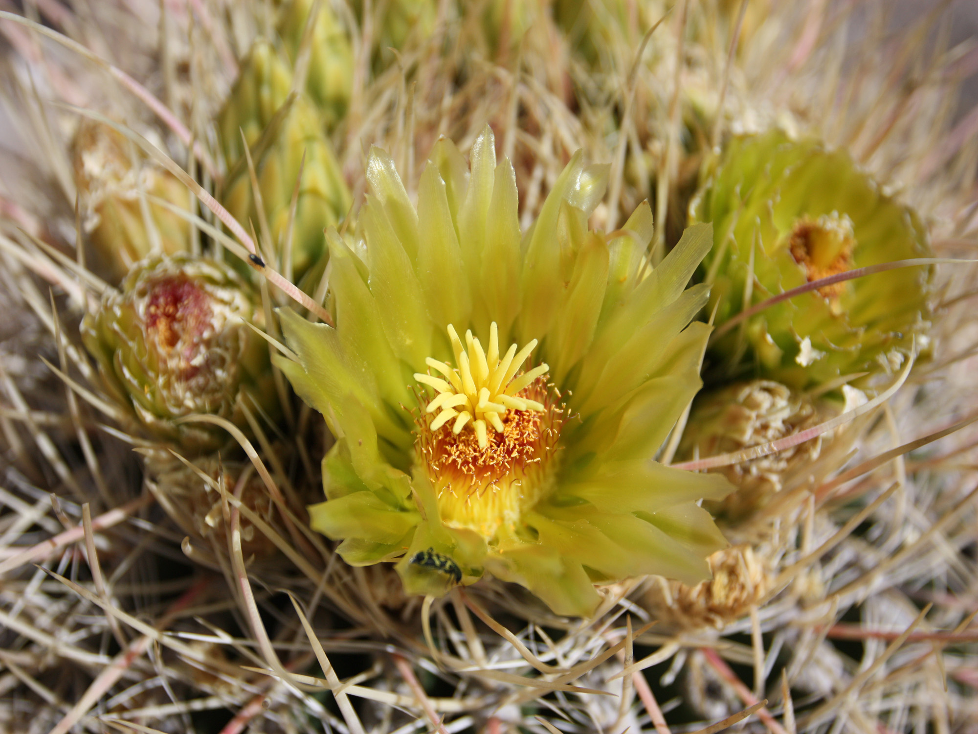
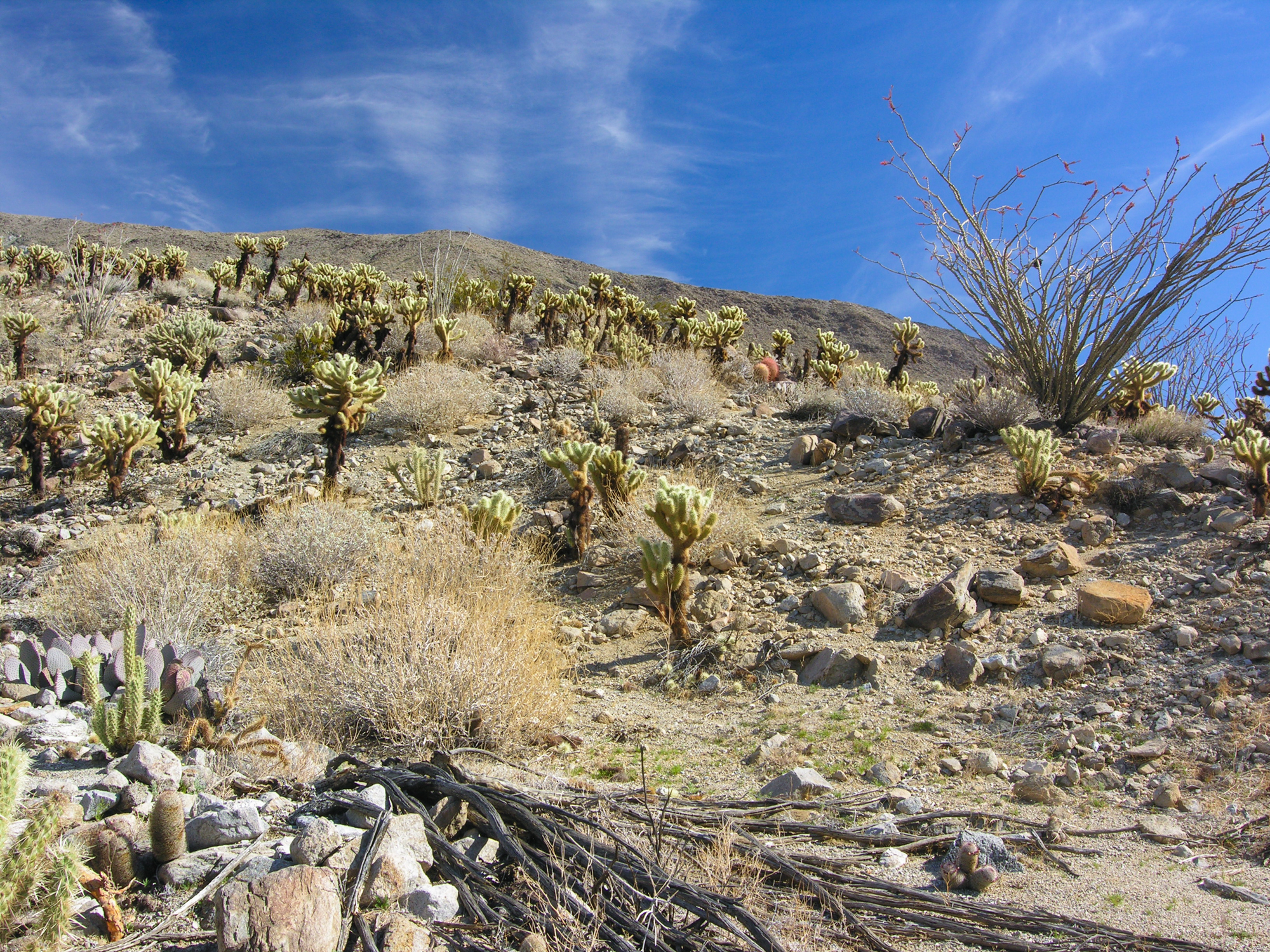
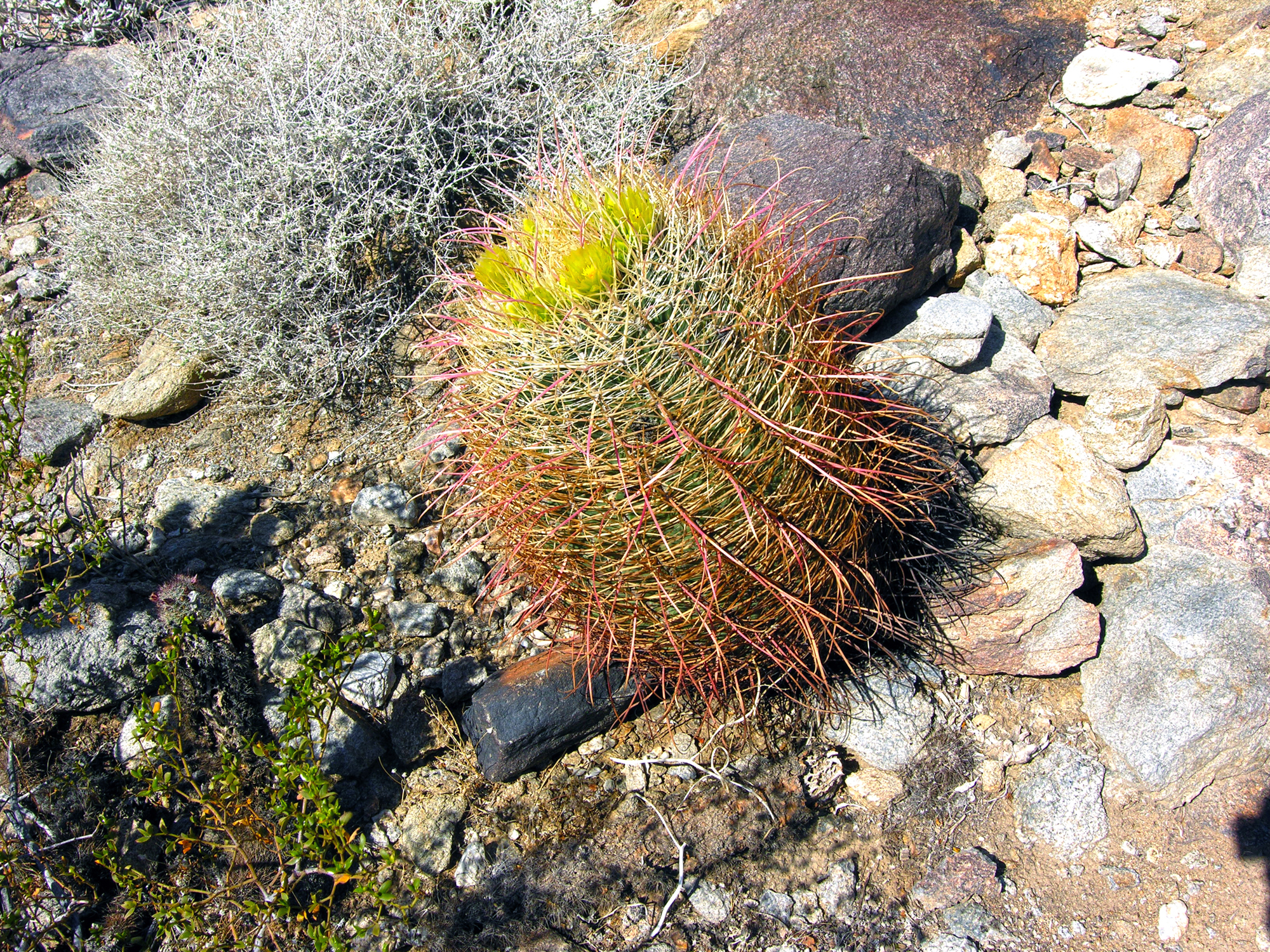
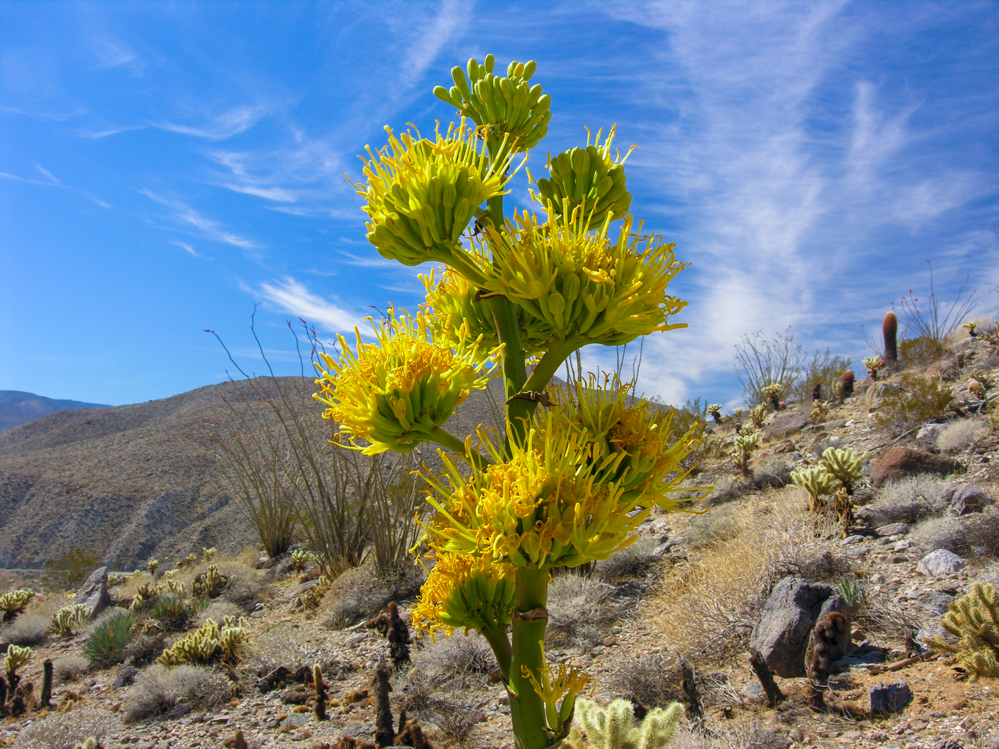
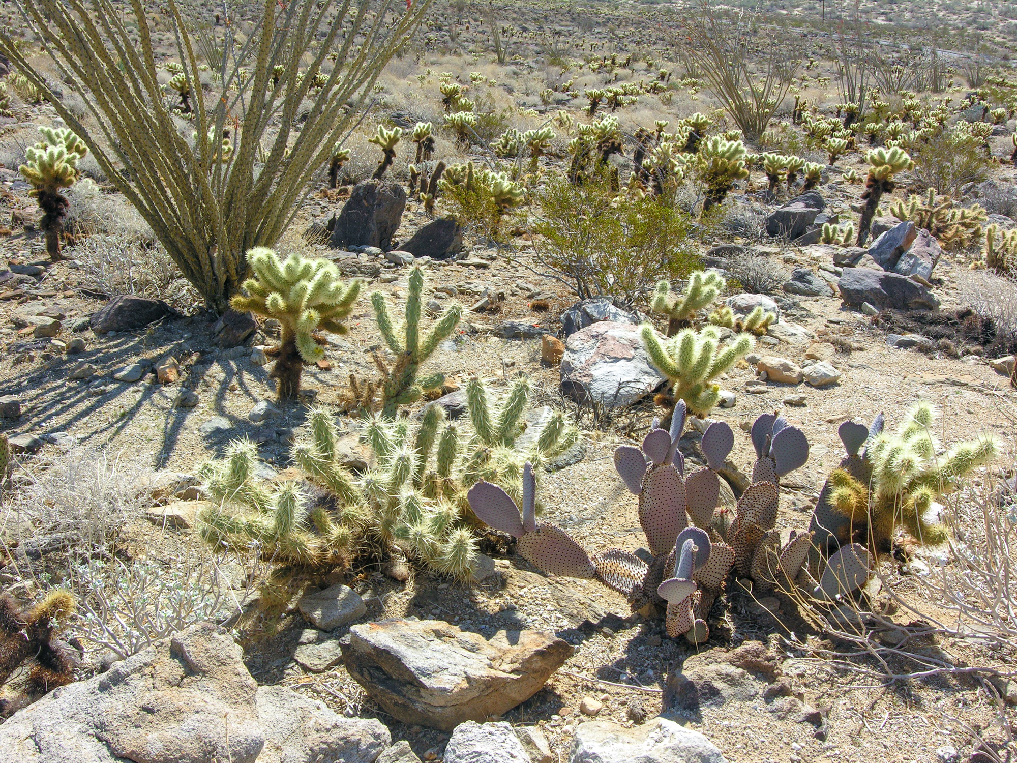
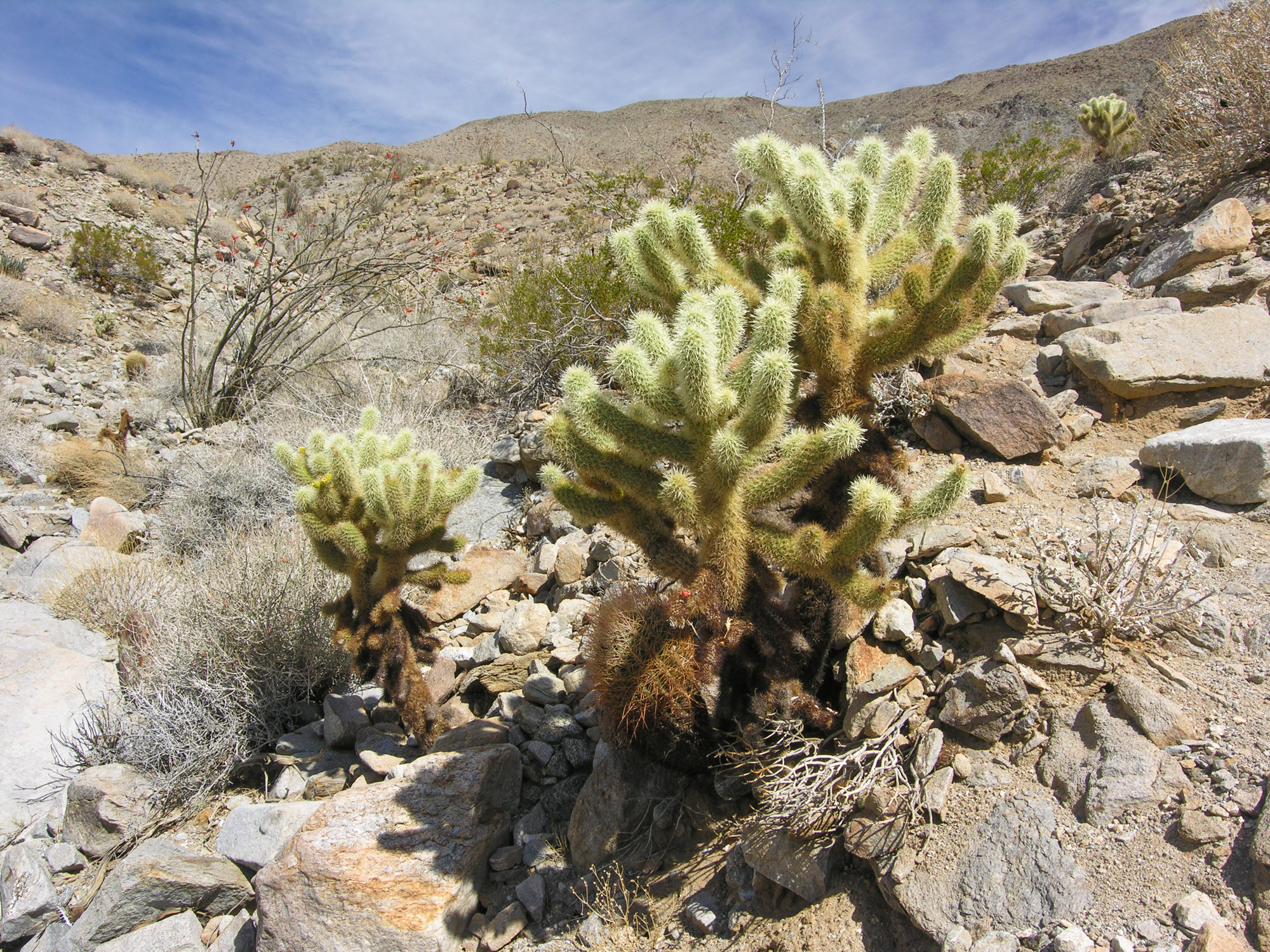
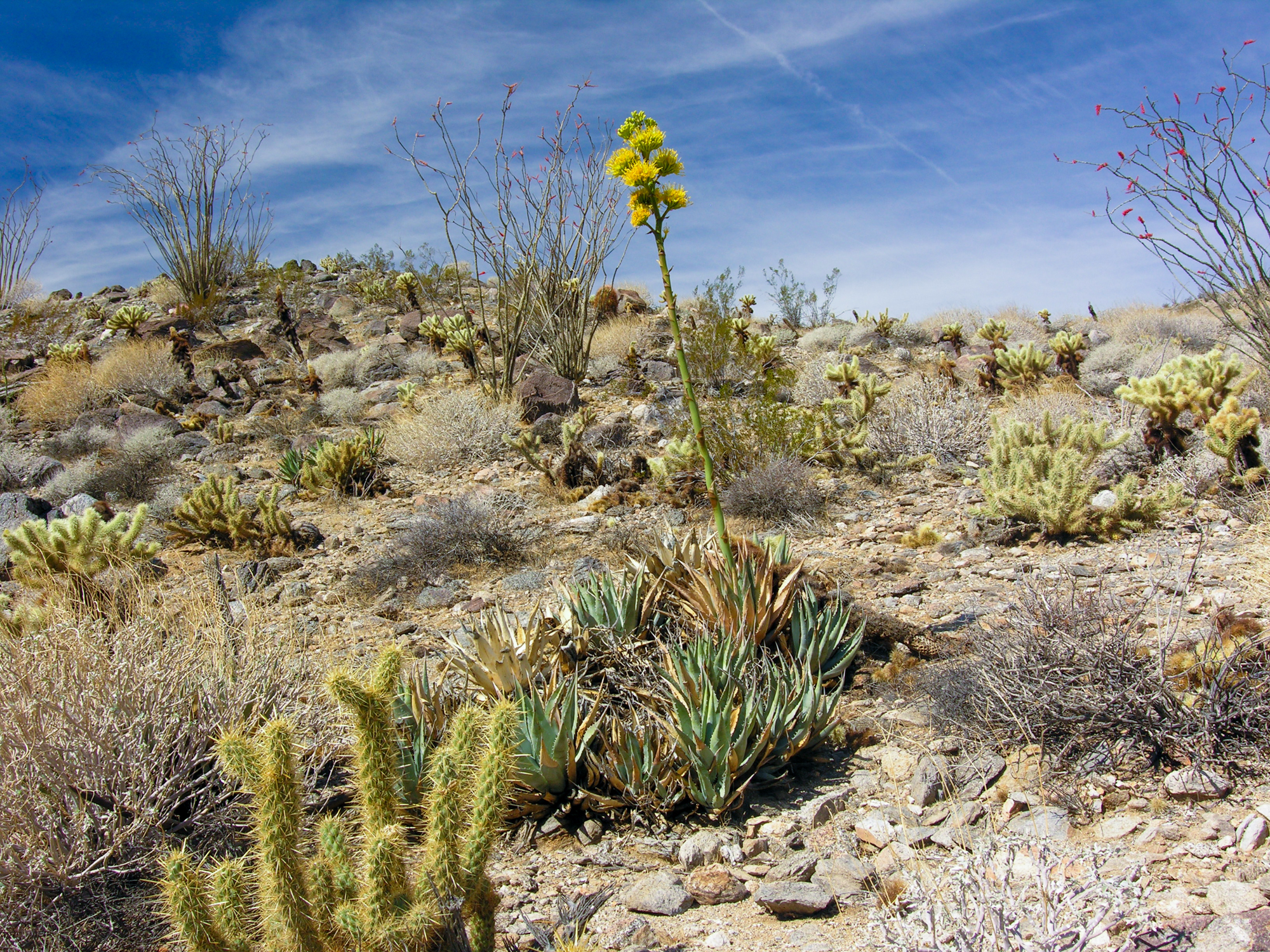
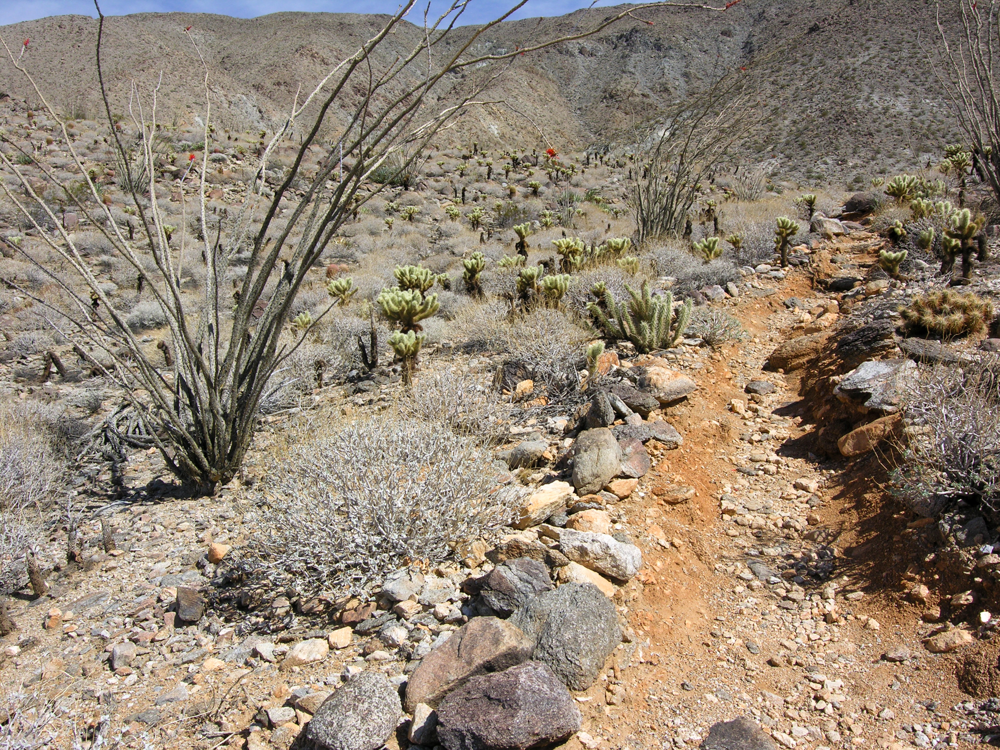
If you’re interested in seeing most of the cacti species found in Anza-Borrego in one place, then the Cactus Loop Trail is for you. This short, easy hike is located about ten miles south of Borrego Springs and is full of not only cacti but agaves, ocotillos and more.
Trip Stats
Non-subscriber Info
What’s in our Guide:
- Directions to the Cactus Loop Trail
- Detailed description of the hike
- What you’ll see on the hike
- Descriptions of some of the plants and cacti here
- Nearby attractions:
- Galleta Meadows sculptures
- What type of vehicle you’ll need
- Our unique interactive maps
- Lots of beautiful and informative pictures
Virtual Video Tour
Options available on the video player can enhance your viewing experience – learn more.
Image Gallery
Click picture to view full screen. Learn more how to use the picture gallery, along with options for mobile devices.
Sights to See
Click on the pulsating red dot to reveal the name of the plants and cacti in the pictures below. See instructions on Sights to See to learn more.
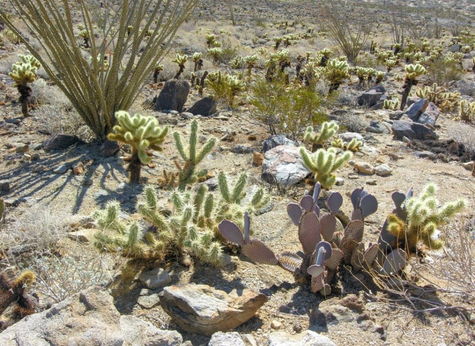
Fouquieria splendens
Opuntia basilaris
Opuntia bigelovii
Opuntia acanthocarpa
Larrea tridentata
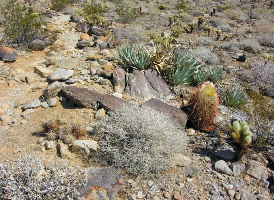
Agave Deserti
Opuntia bigelovii
Echinocereus engelmannii
Larrea tridentata
Getting There Map
See tips on using the interactive map.
The loop trail starts across the street from the
entrance to the Tamarask Grove Campground.
This point is halfway through the loop trail.
Here, the trail begins to descend back to the road.
